Browse / Türkiye / Çorum / Çorum
Çorum
Çorumcity

Çorum
Total population
527,863
Demographic figures from TurkStat. Overview below cites Wikipedia and may reference a different year.
City facts
Facts from Wikidata (CC0).
Overview
Çorum is a northern Anatolian city in Turkey. Çorum is located inland in the central Black Sea Region of Turkey and is approximately 244 km (152 mi) from Ankara and 608 km (378 mi) from Istanbul. It is the seat of Çorum Province and of Çorum District. Its population is 269,595 (2022). The city has an elevation of 801 m (2,628 ft) above sea level.
Read more on WikipediaHistory & geography
History
There is ample archaeological evidence for human presence in the area since the Paleolithic Age. The area prospered during the Bronze Age, with the emergence of the Hittite Empire between 1650 and 1200 BCE. Hattusa, the Hittite capital, was located in the region owing to its inherent geographic protection and the well-established local economy as supported by the regional Karum system. The settlement of Çorum proper can be traced only to the 16th century. The name is of unknown origin and is first attested in Ottoman records about a Seljuk fortress, Çorum Kalesi, described by Evliya Çelebi. In the mid-16th century, the fortress was divided into four mahalle, or quarters. From 1867 until 1922, Çorum was part of the Angora vilayet.
Geography
Çorum is on the northern edge of the Central Anatolian Plateau. The city is on a plain surrounded by mountains. The Merzifon branch of the North Anatolian Fault passes about north of Çorum, with the main fault line passing about north. Çorum has a warm summer continental climate (Köppen climate classification: Dfb or Trewartha climate classification: Dcb) with dry summers and cold, snowy winters. It also has mild to cool wet springs and autumns with light rain. Highest recorded temperature: on 30 July 2000.Lowest recorded temperature: on 23 February 1985. | source 2 = NOAA NCEI(humidity, sun 1991-2020), Meteomanz(snow days 2000-2024) |date= March 2011 }}
Excerpted from the corresponding Wikipedia article (CC BY-SA).
Geography
Coordinates & boundaries from the US Census TIGER/Line shapefiles.
Climate
Air quality
Walkability
Amenities nearby
Wildlife & biodiversity
Earthquake history
Photos
Sights & places nearby
Notable people from here


People born within ~10 km, from Wikidata (CC0). Click any name for their Wikipedia article.
Nearby places in Çorum
Geography & sun
Elevation, sunrise/sunset and daylight from Open-Meteo. Solar climatology from NASA POWER.
Nearby airports
Public attention
Pageview totals from the Wikimedia Pageviews API.
Books about Çorum





Search results from Open Library.
Recent natural events nearby
Ground air-quality sensors
Recently spotted species
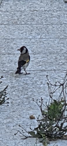
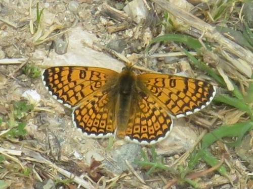
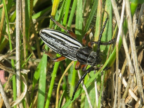
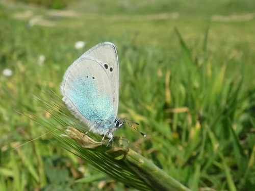
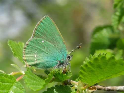
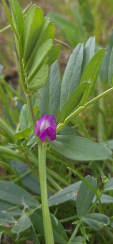
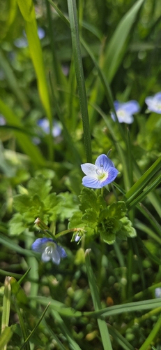
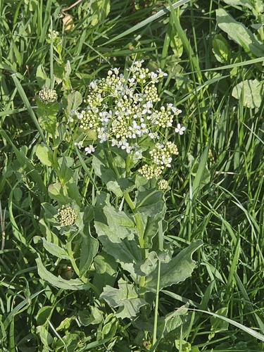
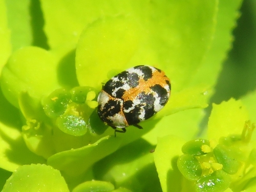
Research-grade observations from iNaturalist (within ~15 mi).
Events
Gallery
Sources
- • Wikipedia
- • Wikidata
- • iNaturalist
- • Open-Elevation
- • Open-Meteo / sunrise-sunset.org
- • Wikipedia Pageviews API
- • Open Library
- • Wikidata SPARQL (CC0) — population, area, elevation, inception, head of government, Commons image