Browse / Türkiye / Konya / Çumra
Çumra
Konyatown

Çumra
Total population
65,836
Demographic figures from TurkStat. Overview below cites Wikipedia and may reference a different year.
City facts
Overview
Çumra is a municipality and district of Konya Province, Turkey. Its area is 2,089 km2, and its population is 67,690 (2022).
Read more on WikipediaHistory & geography
History
Neolithic (c. 8000 BC) archaeological discoveries have been found at Çatalhöyük. In the 12th century the Konya plain experienced its second great cultural period, when the city became the capital of the Seljuk Turks. Archaeologists from the University of Chicago joined the Konya Regional Archaeological Survey Project to excavate the stele, and the excavations of the archaeological mound at the site, which is believed to be the capital of Hartapu's as yet unnamed kingdom, will continue in 2020. In February 2020, archaeologists announced the discovery of Luwian hieroglyphs on the stone stele pulled out of the irrigation ditch next to the ancient mound of Türkmen-Karahöyük, describing the military victory of "Great King Hartapu" over an alliance of 13 kings. The description has a reference to defeating the royal house of Phrygia, which included King Midas.
Geography
The town of Çumra is at an altitude of 1,020 m. It is an important stop on the Istanbul to Baghdad railway. It is central to the 500 km²/120,000 acre Çumra irrigation zone, in the Konya Plain, that was established in 1912. Çumra's climate is classified as cold semi-arid (Köppen: BSk). The town experiences hot, dry summers and chilly, frequently snowy winters.
Excerpted from the corresponding Wikipedia article (CC BY-SA).
Geography
Coordinates & boundaries from the US Census TIGER/Line shapefiles.
Climate
Air quality
Walkability
Amenities nearby
Wildlife & biodiversity
Most-observed species
- Isabelline WheatearOenanthe isabellina (Temminck, 1829) · Aves3
- Long-legged BuzzardButeo rufinus (Cretzschmar, 1829) · Aves2
- Pale BuglossEchium italicum L. · Magnoliopsida2
- Eurasian MagpiePica pica (Linnaeus, 1758) · Aves2
- Scented MayweedMatricaria chamomilla L. · Magnoliopsida2
- Bridled MabuyaHeremites vittatus (Olivier, 1804) · Squamata1
- Humming-bird Hawk-mothMacroglossum stellatarum Linnaeus, 1758 · Insecta1
- Steatoda albomaculata (De Geer, 1778)Steatoda albomaculata (De Geer, 1778) · Arachnida1
Citizen-science & research observations from the Global Biodiversity Information Facility (GBIF).
Earthquake history
Most recent
- M 4.5 — 2024-10-0432 km NW of Karapınar, Turkey
- M 4.8 — 2023-08-0128 km NNE of Konya, Turkey
- M 2.6 — 2023-02-177 km ENE of Konya, Turkey
- M 4.5 — 2022-01-3112 km SE of Derbent, Turkey
- M 4.3 — 2021-11-0815 km SSE of Derbent, Turkey
- M 5.1 — 2021-11-0823 km SE of Derbent, Turkey
Events from the USGS Earthquake Catalog (global) (FDSN Event Web Service).
Photos
Sights & places nearby
Notable people from here
Nearby places in Konya
- Güneysınır19.2 mi away · pop. 9,546
- Selçuklu26.5 mi away · pop. 622,846
- Bozkır39.4 mi away · pop. 26,437
- Taşkent47.5 mi away · pop. 6,299
- Kadınhanı55.7 mi away · pop. 32,284
- Halkapınar77.6 mi away · pop. 4,302
- Çeltik113.8 mi away · pop. 9,743
- Mrzlice1291.8 mi away · pop. 52
- Bžany1292.7 mi away · pop. 167
- Haouch Gaby1650.2 mi away
- Paillote1651.5 mi away
- Douar Nessasseha دوار نساسحة1651.9 mi away
Geography & sun
Nearby airports
Public attention
Books about this place
Recent natural events nearby
Ground air-quality sensors
Recently spotted species
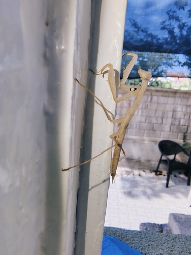
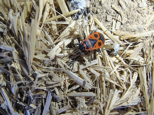
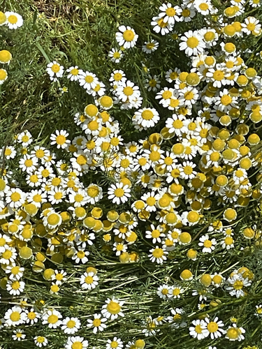
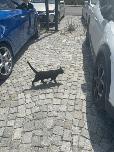
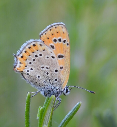
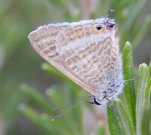
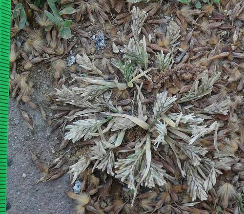
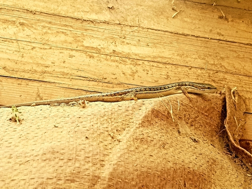
Research-grade observations from iNaturalist (within ~15 mi).
Events
Gallery
Sources
- • Wikipedia
- • USGS Earthquake Catalog (global feed)
- • GBIF (Global Biodiversity Information Facility)
- • iNaturalist
- • Wikidata SPARQL (CC0) — population, area, elevation, inception, head of government, Commons image