Browse / Türkiye / Konya / Derbent
Derbent
Konyatown

Featured view
Derbent
Total population
4,345
Coordinates38.01°, 32.02°
Demographic figures from TurkStat. Overview below cites Wikipedia and may reference a different year.
Loading additional data from public sources…0 / 11
CensusWikipediaWeatherPlacesPeopleEnvironmentHealth & SchoolsRelatedGeography & CultureLive MonitoringEvents & Gallery
0% completeCity facts
Overview
Derbent is a municipality and district of Konya Province, Turkey. Its area is 359 km2, and its population is 4,052 (2022).
Read more on WikipediaHistory & geography
Geography
Latitude
38.0137
Longitude
32.0172
Water area
—
Coordinates & boundaries from the US Census TIGER/Line shapefiles.
Climate
Air quality
Walkability
Amenities nearby
Wildlife & biodiversity
Earthquake history
Photos
Sights & places nearby
Notable people from here
Nearby places in Konya
- Kadınhanı18.9 mi away · pop. 32,284
- Selçuklu27.3 mi away · pop. 622,846
- Bozkır58.3 mi away · pop. 26,437
- Güneysınır62.7 mi away · pop. 9,546
- Çeltik70.8 mi away · pop. 9,743
- Taşkent79.7 mi away · pop. 6,299
- Halkapınar125.1 mi away · pop. 4,302
- Mrzlice1241.5 mi away · pop. 52
- Bžany1242.5 mi away · pop. 167
- Haouch Gaby1605.4 mi away
- Paillote1606.7 mi away
- Douar Nessasseha دوار نساسحة1607.1 mi away
Geography & sun
Avg solar (kWh/m²/day)
4.79
Annual solar (kWh/m²)
1,750
Elevation, sunrise/sunset and daylight from Open-Meteo. Solar climatology from NASA POWER.
Nearby airports
Public attention
Wikipedia views (last 30 days)
73
Avg daily Wikipedia views
2
Attention level
Obscure
Pageview totals from the Wikimedia Pageviews API.
Books about Derbent
Search results from Open Library.
Recent natural events nearby
Ground air-quality sensors
Recently spotted species
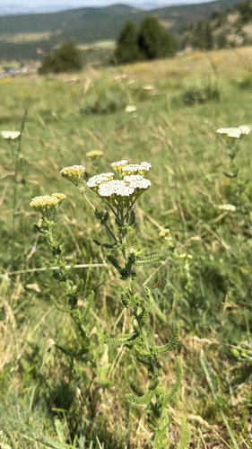
common yarrow
Achillea millefolium
Seen 2026-07-08
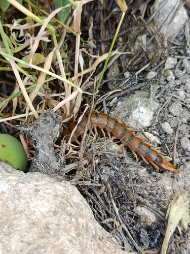
Mediterranean Banded Centipede
Scolopendra cingulata
Seen 2026-07-03
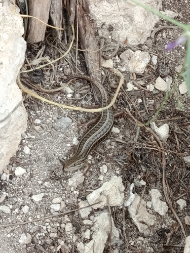
Bridled Skink
Heremites vittatus
Seen 2026-07-03
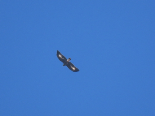
Golden Eagle
Aquila chrysaetos
Seen 2024-09-14
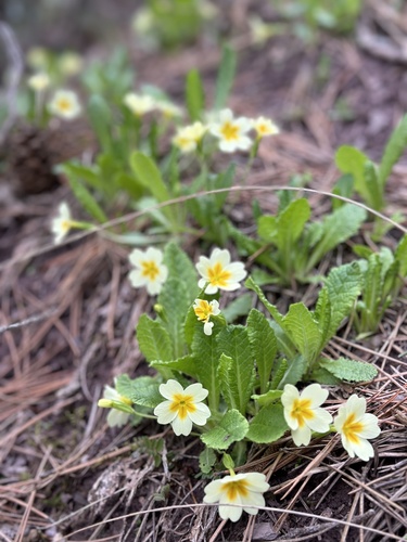
Primrose
Primula vulgaris
Seen 2024-04-13
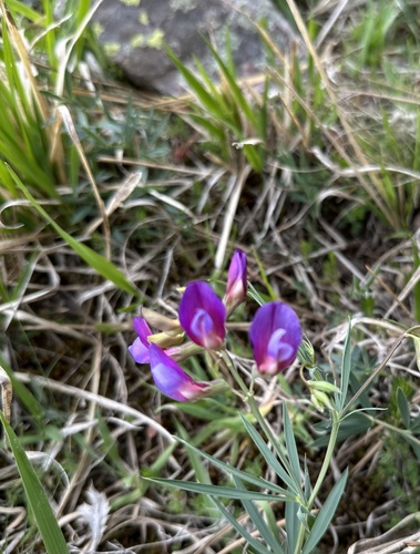
finger-like vetchling
Lathyrus digitatus
Seen 2024-04-13
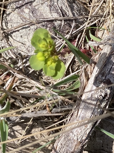
Sun spurge
Euphorbia helioscopia
Seen 2024-04-02
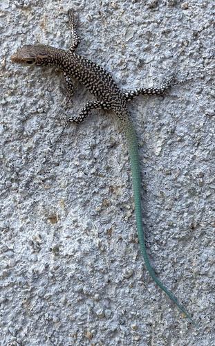
Baran’s Lizard
Anatololacerta ibrahimi
Seen 2023-08-20
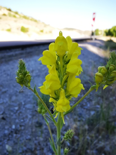
large-flowered linaria
Linaria grandiflora
Seen 2021-05-19
Research-grade observations from iNaturalist (within ~15 mi).
Events
Gallery
Sources
- • Wikipedia
- • iNaturalist
- • Open-Meteo / sunrise-sunset.org
- • Wikipedia Pageviews API
- • Open Library
- • Wikidata SPARQL (CC0) — population, area, elevation, inception, head of government, Commons image