Browse / Türkiye / Balıkesir / Edremit
Edremit
Balıkesirtown

Edremit
Total population
148,341
Demographic figures from TurkStat. Overview below cites Wikipedia and may reference a different year.
City facts
Facts from Wikidata (CC0).
Overview
Edremit is a municipality and district of Balıkesir Province, Turkey. Its area is 682 km2 (263 sq mi), and its population is 167,901 (2022). It is situated a few kilometres inland from the Gulf of Edremit. The mayor of Edremit municipality is Selman Hasan Arslan.
Read more on WikipediaHistory & geography
History
The modern city of Edremit is named after the ancient city of Adramyttion () or Adramytteion (Ἀδραμύττειον), a city of Asia Minor on the coast of Aeolis which is near the modern city of Burhaniye. Tahtacı Turkmen, descendants of the army of Shah Ismail I, settled in the mountains near Edremit after their defeat in the Battle of Chaldiran in 1514. By 1819, Henry Alexander Scammell Dearborn recorded that Edremit was only populated by "a few Greek fishermen". In 1912, the town had 6200 inhabitants, 1200 of whom were Greeks. At this time, the district had 19 Greek schools and roughly 600 pupils. In May 1914, thousands of Muslim refugees who had fled from the Balkans arrived in the town of Edremit and proceeded to ransack the shops and homes of the town's Greek community. According to Arnold J. Toynbee, the Ottoman government armed and organised the refugees. Many Greek refugees found refuge in the town church before fleeing to the harbour where they were then granted passage to the nearby Greek island of Lesbos. Turks continued to massacre or expel Greeks in the following months in surrounding villages as part of the wider Greek genocide throughout Turkey. Amidst the Greek Summer Offensive of the Greco-Turkish War of 1919–1922, Edremit was seized by the Army of Asia Minor on 19 June 1920 and a Turkish Nationalist counterattack near the town was repelled. It remained under Greek control until their withdrawal in late August 1922, following which the entire region was recaptured by the Turks and all remaining Greeks fled or were killed by the Turkish army.
Excerpted from the corresponding Wikipedia article (CC BY-SA).
Geography
Coordinates & boundaries from the US Census TIGER/Line shapefiles.
Climate
Air quality
Walkability
Amenities nearby
Wildlife & biodiversity
Most-observed species
- Common ChaffinchFringilla coelebs Linnaeus, 1758 · Aves92
- Yellow-legged GullLarus michahellis J.F.Naumann, 1840 · Aves89
- Barn SwallowHirundo rustica Linnaeus, 1758 · Aves81
- Eurasian Collared-DoveStreptopelia decaocto (Frivaldszky, 1838) · Aves64
- Western JackdawColoeus monedula (Linnaeus, 1758) · Aves64
- Eurasian JayGarrulus glandarius (Linnaeus, 1758) · Aves63
- Great Cormorant/European ShagPhalacrocorax carbo (Linnaeus, 1758) · Aves62
- Common RavenCorvus corax Linnaeus, 1758 · Aves62
Citizen-science & research observations from the Global Biodiversity Information Facility (GBIF).
Earthquake history
Most recent
- M 4.4 — 2026-06-279 km ENE of Míthymna, Greece
- M 4.1 — 2025-11-2213 km WSW of Sındırgı, Turkey
- M 4.6 — 2025-11-1311 km W of Sındırgı, Turkey
- M 4.1 — 2025-11-1114 km WSW of Sındırgı, Turkey
- M 4.7 — 2025-11-1012 km W of Sındırgı, Turkey
- M 4.2 — 2025-10-2711 km W of Sındırgı, Turkey
Events from the USGS Earthquake Catalog (global) (FDSN Event Web Service).
Photos
Sights & places nearby
Notable people from here
Nearby places in Balıkesir
Geography & sun
Elevation, sunrise/sunset and daylight from Open-Meteo. Solar climatology from NASA POWER.
Nearby airports
Public attention
Pageview totals from the Wikimedia Pageviews API.
Books about Edremit

Search results from Open Library.
Recent natural events nearby
Ground air-quality sensors
Recently spotted species
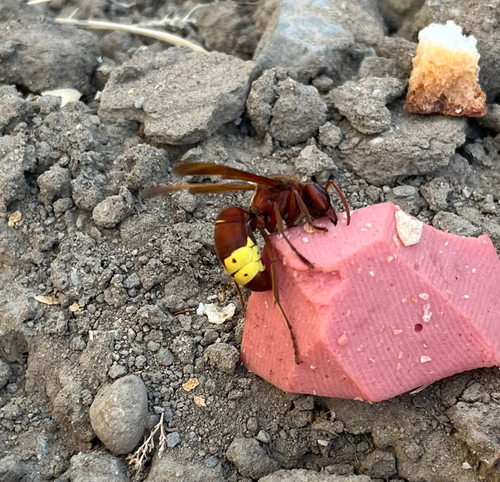
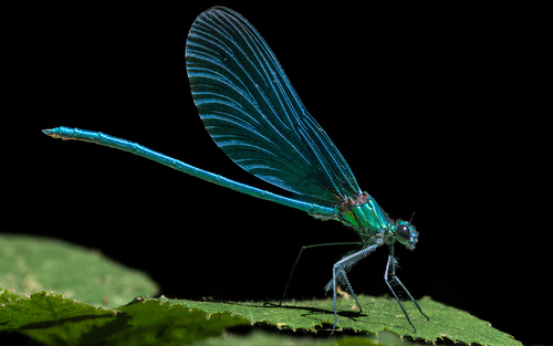
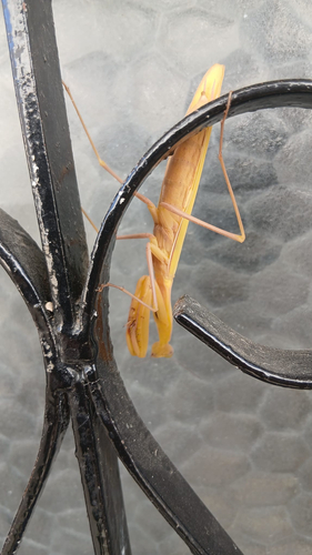
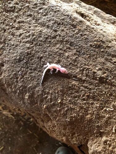
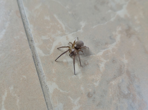
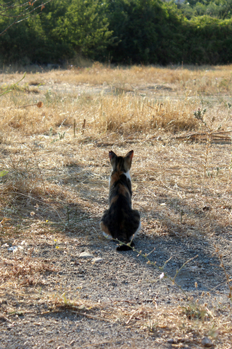
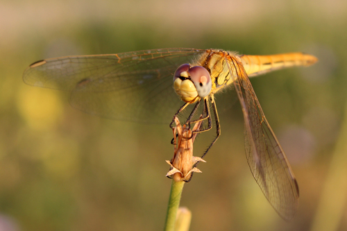
Research-grade observations from iNaturalist (within ~15 mi).
Events
Gallery
Sources
- • Wikipedia
- • Wikidata
- • USGS Earthquake Catalog (global feed)
- • GBIF (Global Biodiversity Information Facility)
- • iNaturalist
- • Open-Meteo / sunrise-sunset.org
- • Wikipedia Pageviews API
- • Open Library
- • Wikidata SPARQL (CC0) — population, area, elevation, inception, head of government, Commons image