Browse / Türkiye / Elazığ / Elazığ
Elazığ
Elazığcity

Elazığ
Total population
578,789
Demographic figures from TurkStat. Overview below cites Wikipedia and may reference a different year.
City facts
Facts from Wikidata (CC0).
Overview
Elazığ is a city in the Eastern Anatolia region of Turkey, and the administrative centre of Elazığ Province and Elazığ District. Founded in and around the former city of Harput, it is located in the uppermost Euphrates valley. The plain on which the city extends has an altitude of 1,067 metres (3,501 ft). Elazığ resembles an inland peninsula surrounded by the natural Lake Hazar and reservoirs of Keban Dam, Karakaya Dam, Kıralkızı and Özlüce. Its population is 387,072 (2022).
Read more on WikipediaHistory & geography
History
The town of Mezre (future Elazığ) was founded on the fertile plain below the hill on which the much older fortress and settlement of Harput were constructed. It was located about southwest of Harput. The Hurrians, who settled in this area in 2000 BC, are the earliest known inhabitants of the area. Harput and its surrounding region were part of the kingdom of Urartu at its maximum extent, and the Urartians may have been the first to build a fortress here. Historian Hakob Manandian believed it to have been the main fortress of the earlier Hayasa-Azzi confederation. It is possible that Harput stands on or is near the site of Carcathiocerta (more commonly identified with Eğil), the first capital of the Kingdom of Sophene. According to an official history written in 1883, Mezre was originally a small hamlet near Harput which served as the official residence of the Çötelizades, one of the notable families exiled from Harput in the 1780s-90s. In 1834–36, the Çötelizades hosted the governor and military commander Reşid Mehmed Pasha, who turned the hamlet into a garrison for his campaigns in the eastern regions of the empire. In the 1850s and 60s, Mezre grew into a small town or suburb of Harput with a prosperous Armenian bourgeoisie. In 1869, an Armenian named Krikor Ipekjian (later Fabrikatorian) founded a silk factory in Mezre. The building of the American consulate in Harput, established in 1901, was in fact located in Mezre. Harput was an important station for the American missionaries for many years. The missionaries built Euphrates College, a theological seminary, and boys' and girls' schools. It operated until 1915 when its buildings were confiscated and used by the Ottoman Army as barracks. In November 1895, government-backed Turks and Kurds massacred, looted…
Geography
Elazığ is situated at the northwestern corner of a 30-mile-long valley, known locally as Uluova (literally the Great Valley). The area's Armenians called this valley "Vosgetashd" (the Golden Plain). Its altitude is , latitude and longitude of 38 degrees and 41 minutes North, and 39 degrees and 14 minutes East. Elazığ Province is surrounded by the Euphrates in the north, and since the completion of Keban Dam the rivers came to cover almost ten percent of the surface area () of the province (). Elazığ's adjacent province borders are with Tunceli (North), Erzincan (North-West), Bingöl (East), Diyarbakır (South), and Malatya (West). The city of Elazığ is divided into 41 quarters: Hilalkent, Çaydaçıra, Ataşehir, Cumhuriyet, Çatalçeşme, Doğukent, Fevziçakmak, Gümüşkavak, Karşıyaka, Kırklar, Kızılay, Kültür, Nailbey, Rızaiye, Salibaba, Sanayi, Sürsürü, Ulukent, Yeni, Zafran, Alayaprak, Esentepe, Göllübağ, Harput Merkez, Sugözü, Izzetpaşa, Akpınar, Çarşı, Icadiye, Aksaray, Mustafapaşa, Olgunlar, Rüstempaşa, Sarayatik, Üniversite, Yıldızbağları, Abdullahpaşa, Hicret, Şahinkaya, Yemişlik and Güneykent. Elazığ has a Mediterranean (Köppen climate classification: Csa) or continental (Trewartha climate classification: Dca) climate with cold, snowy winters and hot, dry summers. Highest recorded temperature: on 31 July 2025Lowest recorded temperature: on 30 December 1951 and 20 January 1972
Excerpted from the corresponding Wikipedia article (CC BY-SA).
Geography
Coordinates & boundaries from the US Census TIGER/Line shapefiles.
Climate
Air quality
Walkability
Amenities nearby
Wildlife & biodiversity
Earthquake history
Photos
Sights & places nearby
Notable people from here


People born within ~10 km, from Wikidata (CC0). Click any name for their Wikipedia article.
Geography & sun
Elevation, sunrise/sunset and daylight from Open-Meteo. Solar climatology from NASA POWER.
Nearby airports
Public attention
Pageview totals from the Wikimedia Pageviews API.
Books about Elazığ
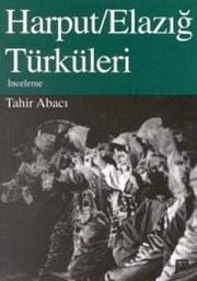
Search results from Open Library.
Recent natural events nearby
Ground air-quality sensors
Recently spotted species
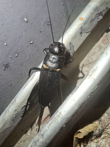
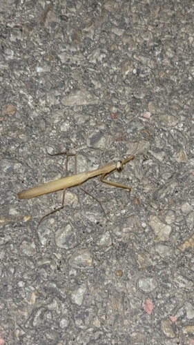
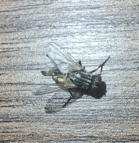
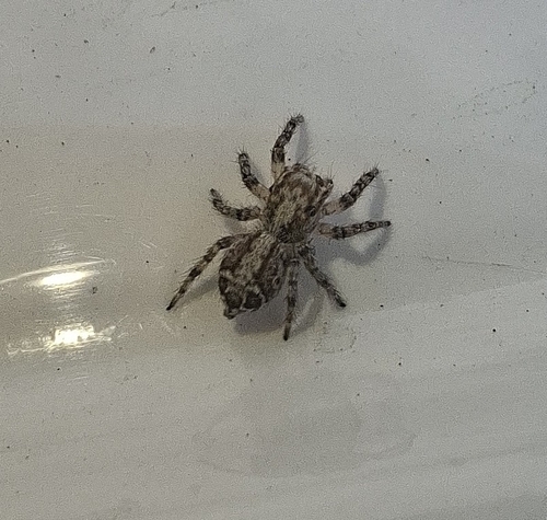
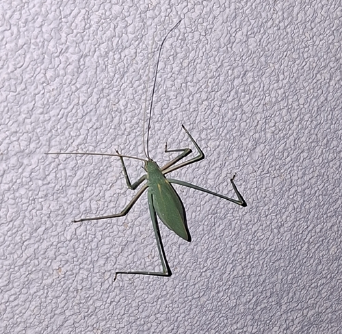
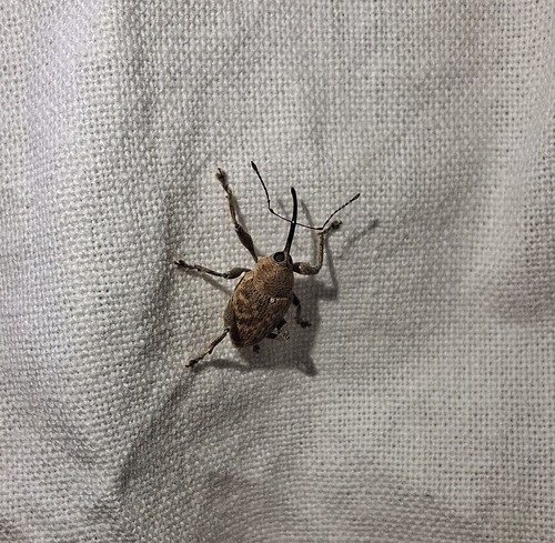
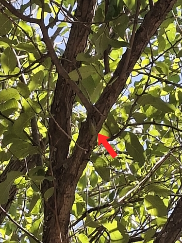
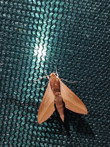
Research-grade observations from iNaturalist (within ~15 mi).
Events
Gallery
Sources
- • Wikipedia
- • Wikidata
- • iNaturalist
- • Open-Meteo / sunrise-sunset.org
- • Wikipedia Pageviews API
- • Open Library