Browse / Türkiye / Istanbul / Fatih
Fatih
Istanbultown

Fatih
Total population
417,285
Founded
1930
Demographic figures from TurkStat. Overview below cites Wikipedia and may reference a different year.
City facts
Sister cities
Facts from Wikidata (CC0).
Overview
Fatih or the Historical peninsula, is a municipality and district of Istanbul Province, Turkey. Its area is 15 km2 (5.8 sq mi), and its population is 368,227 as of 2022. It is home to almost all of the provincial authorities but not the courthouse. It encompasses the historical peninsula, coinciding with old Constantinople. In 2009, the district of Eminönü, which had been a separate municipality located at the tip of the peninsula, was once again remerged into Fatih because of its small population. Fatih is bordered by the Golden Horn to the north and the Sea of Marmara to the south, while the Western border is demarked by the Theodosian wall and the east by the Bosphorus Strait.
Read more on WikipediaHistory & geography
History
Historic Byzantine districts encompassed by present-day Fatih include: Exokiónion, Aurelianae, Xerólophos, ta Eleuthérou, Helenianae, ta Dalmatoú, Sígma, Psamátheia, ta Katakalón, Paradeísion, ta Olympíou, ta Kýrou, Peghé, Rhéghion, ta Elebíchou, Leomákellon, ta Dexiokrátous, Petríon or Pétra, Phanàrion, Exi Mármara (Altımermer), Philopátion, Deúteron and Vlachernaí. The name "Fatih" comes from the Ottoman emperor Fatih Sultan Mehmed (Mehmed the Conqueror or Mehmed II), and means "Conqueror" in Turkish, from Arabic. The Fatih Mosque built by Mehmed II is in this district, while his resting place is next to the mosque and is much visited. Fatih Mosque was built on the ruins of the Church of the Holy Apostles, destroyed by earthquakes and years of war. A large madrasa complex was also built around the mosque. Immediately after the conquest, groups of Islamic scholars transformed the major churches of Hagia Sophia and the Pantocrator (today the Zeyrek Mosque) into mosques, but the Fatih Mosque and its surrounding complex was the first purpose-built Islamic seminary within the city walls. The building of the mosque complex ensured that the area continued to thrive beyond the conquest; markets grew up to support the thousands of workers involved in the building and to supply them with materials, and then to service the students in the seminary. The area quickly became a Turkish neighbourhood with a particularly pious character due to the seminary. Some of this piety has endured until today. Following the conquest, the Edirnekapı (meaning Edirne Gate) gate in the city walls became the major exit to Thrace, and this rejuvenated the neighbourhoods overlooking the Golden Horn. The Fatih Mosque was on the road to Edirnekapı and the Fatih district became the most populous area…
Excerpted from the corresponding Wikipedia article (CC BY-SA).
Geography
Coordinates & boundaries from the US Census TIGER/Line shapefiles.
Climate
Air quality
Walkability
Amenities nearby
Wildlife & biodiversity
Earthquake history
Photos
Sights & places nearby
Notable people from here
Nearby places in Istanbul
- Bakırköy4.8 mi away · pop. 226,685
- Bibione858.4 mi away · pop. 2,564
- San Giorgio al Tagliamento864.8 mi away
- Villanova Sant'Antonio867.8 mi away
- Villanova Santa Margherita868.2 mi away
- Borghetto869.9 mi away
- La Salute di Livenza870.5 mi away
- San Giorgio di Livenza870.5 mi away
- Blessaglia876.9 mi away
- Ceggia878.6 mi away · pop. 6,145
- Cessalto880.3 mi away · pop. 3,134
- Santa Maria di Campagna880.8 mi away
Geography & sun
Elevation, sunrise/sunset and daylight from Open-Meteo. Solar climatology from NASA POWER.
Nearby airports
Public attention
Pageview totals from the Wikimedia Pageviews API.
Books about Fatih


Search results from Open Library.
Recent natural events nearby
Ground air-quality sensors
Recently spotted species
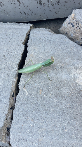
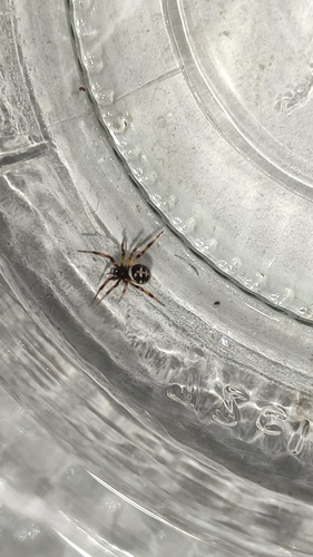
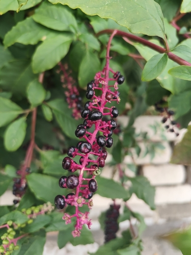
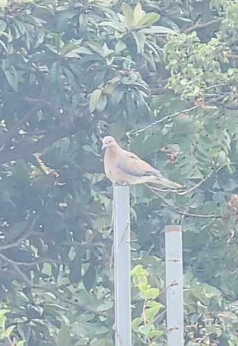
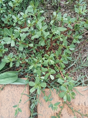
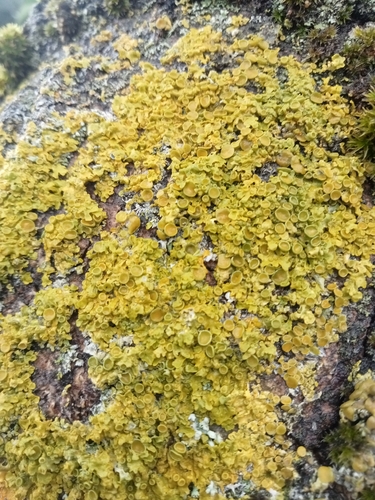
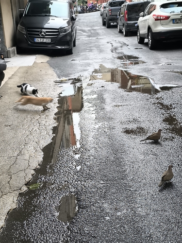
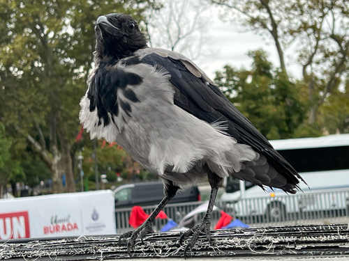
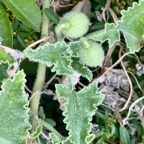
Research-grade observations from iNaturalist (within ~15 mi).
Events
Gallery
Sources
- • Wikipedia
- • Wikidata
- • iNaturalist
- • Open-Meteo / sunrise-sunset.org
- • Wikipedia Pageviews API
- • Open Library
- • Wikidata SPARQL (CC0) — population, area, elevation, inception, head of government, Commons image