Browse / Türkiye / Ordu / Fatsa
Fatsa
Ordutown

Fatsa
Total population
116,154
Demographic figures from TurkStat. Overview below cites Wikipedia and may reference a different year.
City facts
Overview
Fatsa is a municipality and district of Ordu Province, Turkey. Its area is 363 km2, and its population is 126,775 (2022). It lies on the Black Sea coast.
Read more on WikipediaHistory & geography
History
The history of Fatsa goes back to antiquity, when the coast was settled by Cimmerians, and Pontic Greeks in the centuries BC. The ruins on Mount Çıngırt (the ancient rock tombs and vaults) are from this period. Fatsa was first mentioned, in the era of the Kingdom of Pontus, as Polemonium, after King Polemon I, the Roman client king appointed by Mark Antony. Under Nero, the kingdom became a Roman province in AD 62. In about 295, Diocletian (r. 284–305) divided the province into three smaller provinces, one of which was Pontus Polemoniacus, called after Polemonium, which was its administrative capital. As the Roman Empire developed into the Byzantine Empire, the city lost some of its regional importance. Neocaesarea became the capital of the province, and the Diocese of Polemonion was a suffragan of the metropolitan see of Neocaesarea. Due to partition of the Byzantine Empire as a result of the Fourth Crusade, Fatsa became a part of the Empire of Trebizond in 1204. In the 13th and 14th centuries Genoese traders established trading posts on the Black Sea coast. Fatsa became one of the most important of these ports. There is a stone warehouse on the shore built in this period. Following the conquest of the Empire of Trebizond by the Ottomans in 1461, Fatsa become a part of Rûm Eyalet and later a part of Trebizond Eyalet of the Ottoman Empire and remained within the Sanjak of Janik until the collapse of the Empire in 1921. Fatsa became a district of Ordu Province, following the formation of the Republic of Turkey in 1923.
Geography
Fatsa is located on a strip of coastline between the Black Sea and the Janik Mountains (Turkish: Canik) and watered by the rivers of Elekçi, Bolaman, Yapraklı and Belice. Fatsa has a humid subtropical climate (Köppen: Cfa); warm and humid in summer, cool and damp in winter, with occasional - but sometimes heavy - snowfalls.
Excerpted from the corresponding Wikipedia article (CC BY-SA).
Geography
Coordinates & boundaries from the US Census TIGER/Line shapefiles.
Climate
Air quality
Walkability
Amenities nearby
Wildlife & biodiversity
Earthquake history
Photos
Sights & places nearby
Notable people from here
Nearby places in Ordu
- Perşembe14.5 mi away
- Gürgentepe17.5 mi away · pop. 16,929
- Aybastı24.5 mi away · pop. 22,783
- Jivany1247.3 mi away · pop. 88
- Pocaia1305.2 mi away · pop. 279
- Le Ville1306 mi away · pop. 378
- Pieve Santo Stefano1307.5 mi away · pop. 3,316
- Terontola Alta1309.2 mi away
- Cortoreggio1309.4 mi away
- Terontola1309.9 mi away · pop. 1,591
- Lama1310.8 mi away
- Le Poggiacce1313.4 mi away · pop. 22
Geography & sun
Elevation, sunrise/sunset and daylight from Open-Meteo. Solar climatology from NASA POWER.
Nearby airports
Public attention
Pageview totals from the Wikimedia Pageviews API.
Books about Fatsa



Search results from Open Library.
Recent natural events nearby
Ground air-quality sensors
Recently spotted species
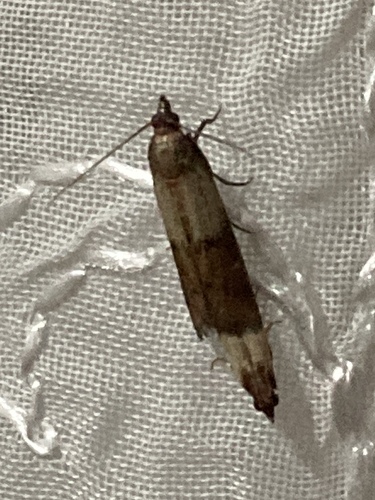
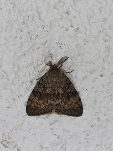
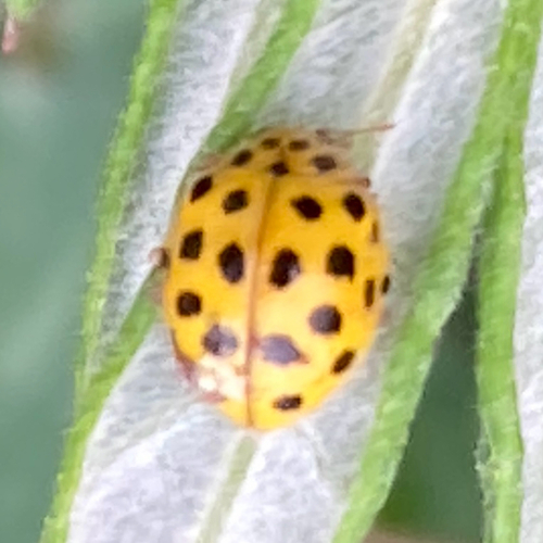
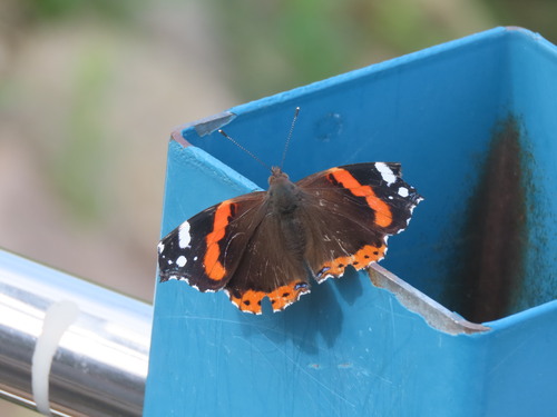
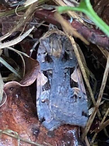
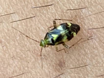
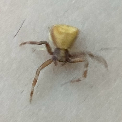
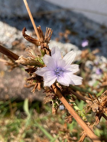
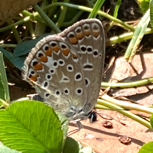
Research-grade observations from iNaturalist (within ~15 mi).
Events
Gallery
Sources
- • Wikipedia
- • iNaturalist
- • Open-Meteo / sunrise-sunset.org
- • Wikipedia Pageviews API
- • Open Library