Browse / Türkiye / Kütahya / Gediz
Gediz
Kütahyatown
Total population
49,827
Air quality index
Demographic figures from TurkStat. Overview below cites Wikipedia and may reference a different year.
City facts
Overview
Gediz is a town in Kütahya Province in the Aegean region of Turkey. It is the seat of Gediz District. Its population is 26,662 (2022). The town was founded in 1970 after the old town, now called Eskigediz, was destroyed in an earthquake. The old town dates back to ancient times and was historically known as Kadoi in Greek and Gedüs in older Turkish.
Read more on WikipediaHistory & geography
History
Until 1970, Gediz was located at present-day Eskigediz, 7 km to the north on the upper reaches of the Gediz Çayı stream. After the old town was destroyed in the 1970 Gediz earthquake, the town was rebuilt at its present location on the plain. The site of the present town was previously known as Karılar Pazarı. Gediz's origins are in the ancient and medieval settlement of Kadoi (), which was located at present-day Eskigediz. Kadoi's earliest known mention was by Polybios in the 2nd century BCE. In Roman times, the town was located in Phrygia Epiktetos, near the border of Phrygia, Mysia, and Lydia. (The sources for this period are Strabo, Stephanus of Byzantium, and Ptolemy.) The 6th-century Synekdemos of Hierokles later mentions Kadoi as part of Phrygia Pakatiane. Kadoi was also a Christian diocese attested consistently from the 7th through 12th centuries in the Notitiae. Until around the 9th century, it was listed as subordinate to Laodikeia, and after that as under Hierapolis until the 12th century. Gediz was administered as a sanjak under the Seljuk dynasty as well as the succeeding Germiyan beylik. The oldest mosque in what is now Eskigediz, the Umurbey mosque (also called the Serdar mosque), dates from the Seljuk period. Two mosques in present-day Eskigediz were built under Ottoman auspices in the 1500s. The first was the Kurşunlu Cami, built in 1540 by one Mustafa bin Hamza. It was the first domed mosque in Gediz. Also in the 1500s, the Tapu Defter #438, from the reign of Süleyman the Magnificent, listed Gediz as a nahiye in the Sanjak of Kütahya. At the end of the Ottoman period, wrote that Gediz's importance had partly come from its trade connection with İzmir. He also noted that the town's houses were covered with black clay soil, which he said gave…
Geography
The elevation of Gediz is . The area was described, in 1920, as having expansive oak forests. Gediz has a hot-summer Mediterranean climate (Köppen: Csa), with hot, dry summers, and chilly winters with some snow.
Excerpted from the corresponding Wikipedia article (CC BY-SA).
Geography
Coordinates & boundaries from the US Census TIGER/Line shapefiles.
Climate
Air quality
Current readings from Open-Meteo Air Quality API (Copernicus CAMS European reanalysis).
Walkability
Amenities nearby
Wildlife & biodiversity
Most-observed species
- European Bee-eaterMerops apiaster Linnaeus, 1758 · Aves7
- Common BluePolyommatus icarus (von Rottemburg, 1775) · Insecta7
- Mistle ThrushTurdus viscivorus Linnaeus, 1758 · Aves6
- Great TitParus major Linnaeus, 1758 · Aves6
- Crested LarkGalerida cristata (Linnaeus, 1758) · Aves5
- Common ChaffinchFringilla coelebs Linnaeus, 1758 · Aves5
- Lysandra osmarr (Gerhard, 1853)Lysandra osmarr (Gerhard, 1853) · Insecta4
- Common BuzzardButeo buteo (Linnaeus, 1758) · Aves4
Citizen-science & research observations from the Global Biodiversity Information Facility (GBIF).
Earthquake history
Most recent
- M 4.8 — 2026-04-1116 km N of Simav, Turkey
- M 4.2 — 2026-04-0214 km ESE of Sındırgı, Turkey
- M 4.4 — 2026-01-2615 km SE of Sındırgı, Turkey
- M 4.9 — 2026-01-2310 km ESE of Sındırgı, Turkey
- M 4.1 — 2026-01-2115 km SE of Sındırgı, Turkey
- M 4.5 — 2026-01-2112 km SE of Sındırgı, Turkey
Events from the USGS Earthquake Catalog (global) (FDSN Event Web Service).
Photos
Sights & places nearby
Notable people from here
People born within ~10 km, from Wikidata (CC0). Click any name for their Wikipedia article.
Nearby places in Kütahya
- Şaphane9.7 mi away · pop. 6,366
- Pazarlar14.5 mi away · pop. 5,522
- Hisarcık20 mi away · pop. 12,531
- Emet25.4 mi away · pop. 19,986
- Lamouadjen1259.7 mi away
- Dakhla-El Mara1260.6 mi away
- Mechtat Aïn Tour1262.7 mi away
- Mechtat Ghar Slim1263.8 mi away
- Oued Lacel El Bir1264.2 mi away
- VSA Ben Boulaid1264.4 mi away
- Mechtat Aïn El Beida1264.7 mi away
- Baktache1265.1 mi away
Geography & sun
Elevation, sunrise/sunset and daylight from Open-Meteo. Solar climatology from NASA POWER.
Nearby airports
Public attention
Pageview totals from the Wikimedia Pageviews API.
Books about Gediz

Search results from Open Library.
Recent natural events nearby
Ground air-quality sensors
Recently spotted species
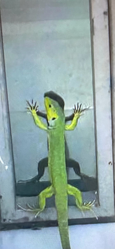
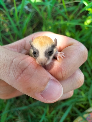
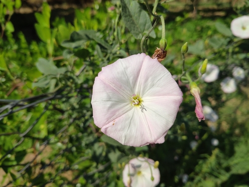
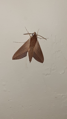
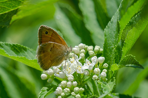

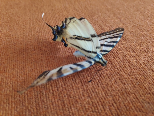
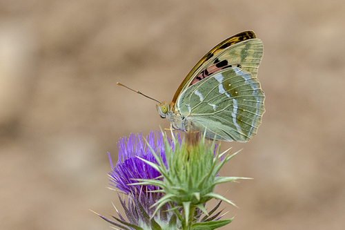
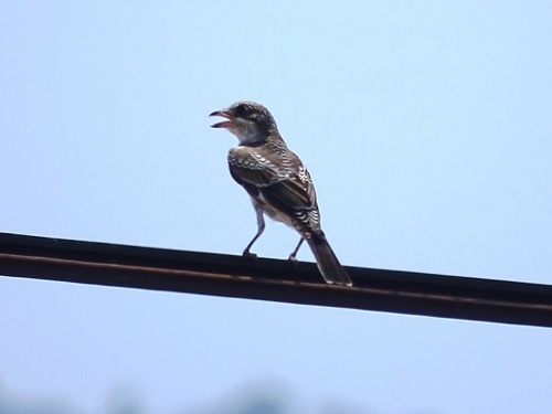
Research-grade observations from iNaturalist (within ~15 mi).
Events
Gallery
Geotagged photos within ~6 miles of Gediz, from Wikimedia Commons contributors.
 0.8 mi
 0.8 mi
 0.8 mi
 0.8 mi
-_Gediz_-_panoramio.jpg) 1 mi
1 mi 3.9 mi
.jpg) 3.9 mi
3.9 mi.jpg) 3.9 mi
3.9 mi.jpg) 3.9 mi
3.9 mi.jpg) 3.9 mi
3.9 mi.jpg) 3.9 mi
3.9 mi.jpg) 3.9 mi
3.9 mi 4 mi
4 mi.jpg) 4 mi
4 mi.jpg) 4 mi
4 mi.jpg) 4 mi
4 mi 4 mi
4 mi 4 mi
4 mi.jpg) 4 mi
4 mi.jpg) 4 mi
4 mi 4 mi
4 mi 4 mi
4 mi 4 mi
4 mi 4.1 mi
Photos via Wikimedia Commons — see each image page for license & attribution.
Sources
- • Wikipedia
- • Wikimedia Commons
- • Wikidata
- • Open-Meteo Air Quality (CAMS)
- • USGS Earthquake Catalog (global feed)
- • GBIF (Global Biodiversity Information Facility)
- • iNaturalist
- • Open-Meteo / sunrise-sunset.org
- • Wikipedia Pageviews API
- • Open Library
- • Wikidata SPARQL (CC0) — population, area, elevation, inception, head of government, Commons image