Browse / Türkiye / Bursa / Gemlik
Gemlik
Bursatown

Gemlik
Total population
91,070
Demographic figures from TurkStat. Overview below cites Wikipedia and may reference a different year.
City facts
Overview
Gemlik is a municipality and district of Bursa Province, Turkey. Its area is 401 km2, and its population is 124,400 (2025). It is located in the east of the Gulf of Gemlik. It is approximately 29 km (18 mi) away from Bursa. In antiquity, Gemlik was the location of the ancient Greek town of Cius.
Read more on WikipediaHistory & geography
History
Gemlik was the site of the ancient Greek city of Cius (/ˈsaɪəs/; Greek: Kίος or Κῖος Kios), later renamed Prusias on the Sea (/ˈpruːʒəs/; Latin: Prusias ad Mare) after king Prusias I of Bithynia, was an ancient Greek city bordering the Propontis (now known as the Sea of Marmara), in Bithynia and formerly in Mysia (in modern northwestern Turkey), and had a long history, being mentioned by Herodotus, Xenophon, Aristotle, Strabo and Apollonius Rhodius. It was strategically placed at the head of a gulf in the Propontis, called the gulf of Cius, or Cianus Sinus. Herodotus calls it Cius of Mysia; and also Xenophon, from which it appears that Mysia, even in Xenophon's time, extended at least as far east as the head of the gulf of Cius. Pliny the Elder reports that Cius was a Milesian colony. It was at the foot of Mount Arganthonius, and there was a myth that Hylas, one of the companions of Heracles on the voyage to Colchis, was carried off by the nymphs when he went to get water here; and also that Cius, another companion of Heracles, on his return from Colchis, stayed here and founded the city, to which he gave his name. Pliny mentions a river Hylas and a river Cius here, one of which reminds us of the name of the youth who was stolen by the nymphs, and the other of the mythical founder. The Cius may be the channel by which the lake Ascania discharges its waters into the gulf of Cius; though Pliny speaks of the Ascanium flumen as flowing into the gulf, and we must assume that he gives this name to the channel which connects the lake and the sea. If the river Cius is not identical with this channel, it must be a small stream near Cius. As Ptolemy speaks of the outlets of the Ascanius, it has been conjectured that there may have been two, and that they may be the Hylas and…
Geography
Gemlik was built on a plain which is bordered on three sides by mountains, with the Samanli Mountains lying from southeast to the northwest. There is a large plain spanning much of the east end of Gemlik to the coast. Karsak Stream, which originates at Lake Iznik, divides this plain and town center into two parts. The Gulf of Gemlik, often called fig port of Kilyos (in reference to the ancient name of the town), is 35 km from east to west, 10–15 km from north to south, and 100–150 meters deep. For many years, this gulf had been used for docking ships, but now it serves as a tourist attraction. The largest river in the area is Karsak, gurgles from İznik Lake and spilles to Gulf of Gemlik. In rural areas of Gemlik District mostly covered by olive trees and pines on the Samanlı Mountains. There are 35 neighbourhoods in Gemlik District: * Adliye * Ata * Balıkpazarı * Büyükkumla * Cihatlı * Cumhuriyet * Demirsubaşı * Dr.Ziya Kaya * Engürücük * Eşref Dinçer * Fevziye * Fındıcak * Gençali * Güvenli * Halitpaşa * Hamidiye * Hamidiyeköy * Haydariye * Hisar * Karacaali * Katırlı * Kayhan * Küçükkumla * Kumla * Kurşunlu * Kurtul * Muratoba * Narlı * Orhaniye * Osmaniye * Şahinyurdu * Şükriye * Umurbey * Yeniköy * Yenimahalle Gemlik has a hot-summer Mediterranean climate (Köppen climate classification: Csa) with cool and rainy winters, and hot and dry summers. The driest month is July with an average of of rainfall. The wettest month is December with an average of of precipitation. Although a Mediterranean climate generally prevails in the district of Gemlik, the higher elevations have an Oceanic climate (Köppen climate classification: Cfb). The record high temperature is and the record low temperature is . The annual precipitation ranges between and . There…
Excerpted from the corresponding Wikipedia article (CC BY-SA).
Geography
Coordinates & boundaries from the US Census TIGER/Line shapefiles.
Climate
10-year averages from ERA5 reanalysis (Open-Meteo).
Air quality
Walkability
Amenities nearby
Wildlife & biodiversity
Earthquake history
Photos
Sights & places nearby
Notable people from here


People born within ~10 km, from Wikidata (CC0). Click any name for their Wikipedia article.
Nearby places in Bursa
Geography & sun
Elevation, sunrise/sunset and daylight from Open-Meteo. Solar climatology from NASA POWER.
Nearby airports
Public attention
Pageview totals from the Wikimedia Pageviews API.
Books about Gemlik

Search results from Open Library.
Recent natural events nearby
Ground air-quality sensors
Recently spotted species
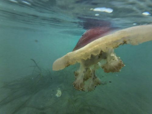
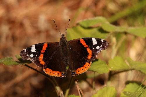
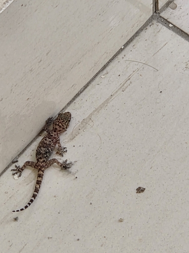
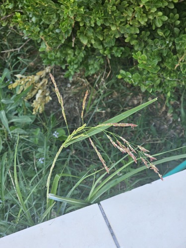
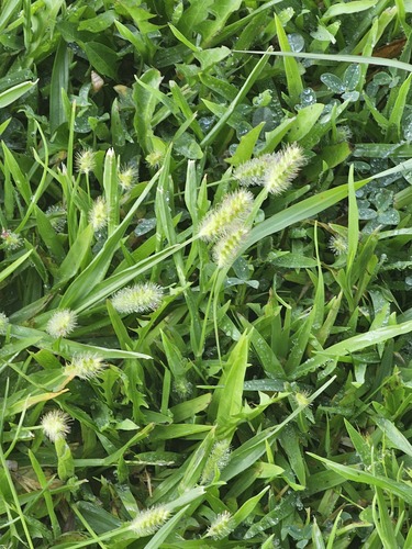
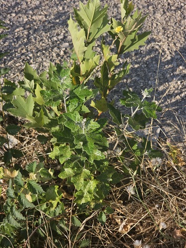
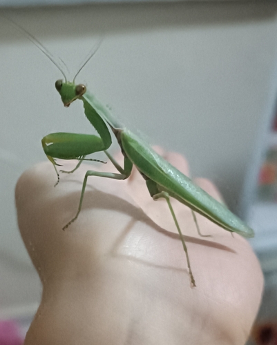
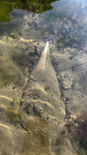
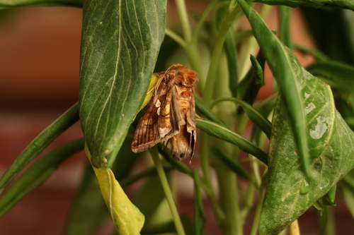
Research-grade observations from iNaturalist (within ~15 mi).
Events
Gallery
Sources
- • Wikipedia
- • Open-Meteo (ERA5 reanalysis)
- • Wikidata
- • iNaturalist
- • Open-Meteo / sunrise-sunset.org
- • Wikipedia Pageviews API
- • Open Library