Browse / Türkiye / Gümüşhane / Gümüşhane
Gümüşhane
Gümüşhanecity

Gümüşhane
Total population
172,034
Demographic figures from TurkStat. Overview below cites Wikipedia and may reference a different year.
City facts
Facts from Wikidata (CC0).
Overview
Gümüşhane is a city in the Black Sea Region of Turkey. It is the seat of Gümüşhane Province and Gümüşhane District. Its population is 39,214 (2022). The city lies along the Harşit River, about 40 miles (64 km) southwest of Trabzon. The city lies at an elevation of 1,153 m (3,783 ft).
Read more on WikipediaHistory & geography
History
It is suggested that the ancient Thia ( in Greek, a settlement of Roman, Late Roman and Byzantine periods) was located west of modern Gümüşhane, in modern Beşkilise. In the Byzantine period, there was a town named Tzanicha or Tzantzakon ( in Byzantine Greek) means land of Zan / Laz people, possibly located to the west of Gümüşhane. The area did not remain Laz after the 7th–9th centuries though. Around 840 AD, the area was included in the new Roman (Byzantine) province of Chaldia (Χαλδία). It was later ruled by the Byzantine Empire of Trebizond. During the Ottoman years, the sanjak of Gümüşhane fell under the administration successively of Rum Province, Erzurum Province and Trabzon Province, and was divided into four kazas: Gümüşhane, Torul (capital city Ardassa), Şiran (Cheriana), and Kelkit (Keltik). The sanjak in which Gümüşhane was situated at some stage comprised 37 mines of argentiferous lead and six copper mines. There is no evidence that these mines were in use during Byzantine times. As for the name of the city during the Ottoman period, Greek-speaking population was also using the name Gümüşhane (Γκιμισχανά and Κιουμουσχανά) but, in the first decades of the 19th century, the Greek name Argyropolis (, from argyros "silver" and polis "city") was used. After the population exchange of 1923 many of the Greek inhabitants moved to the synonymous town in Attica, Greece.
Geography
Gümüşhane is surrounded by high mountains, Zigana-Trabzon Mountains to the north, Çimen Mountains to the south, Giresun Mountains to the west and Pulur, Soğanlı Mountains to the east. Trekking is popular sport is at these mountains. Mount Zigana has a ski center on it and it is a well known tourist destination for winter sports. Abdal Musa Peak (3331 m.) is the highest peak within it. The main trees in the forests are Scotch pine and fir, and there are many animals and birds in the area. There are many lakes such as Karanlık Göl, Beş Göller, Artebel Gölü, Kara Göller which are at the peak of Gavurdağı Mountain, and are preserved as natural parks. All these mountains compose 56% of the area of Gümüşhane province. Gümüşhane has a humid continental climate (Köppen climate classification: Dsb, bordering Dfb, or Trewartha climate classification: Dc) with cold and snowy winters and warm summers. In the height of summer; July and August, temperatures at midday usually surpass 28 °C, summer nights tend to become very cool due to the continentality of Gümüşhane, and in winter temperatures usually plummet to -10 °C and even go as low as -20 °C occasionally. Highest recorded temperature: on 2 August 2017Lowest recorded temperature: on 22 February 1985
Excerpted from the corresponding Wikipedia article (CC BY-SA).
Geography
Coordinates & boundaries from the US Census TIGER/Line shapefiles.
Climate
Air quality
Walkability
Amenities nearby
Wildlife & biodiversity
Earthquake history
Photos
Sights & places nearby
Notable people from here
Nearby places in Gümüşhane
- Torul11.7 mi away · pop. 12,923
- Köse19.8 mi away · pop. 7,789
- Kelkit23.3 mi away · pop. 51,132
- Kürtün26.3 mi away · pop. 15,074
- Şiran26.3 mi away · pop. 27,116
- Aïn Bouras2119.6 mi away
- Ain Ferah2120.7 mi away · pop. 5,816
- Oued El Abtal2123.9 mi away · pop. 21,278
- Ouled Bali2125.5 mi away
- Hassi Oudjerma2128.3 mi away
- Mezaidia2131 mi away
- Sidi Abdeldjebar2132.7 mi away
Geography & sun
Elevation, sunrise/sunset and daylight from Open-Meteo. Solar climatology from NASA POWER.
Nearby airports
Public attention
Pageview totals from the Wikimedia Pageviews API.
Books about Gümüşhane
Search results from Open Library.
Recent natural events nearby
Ground air-quality sensors
Recently spotted species
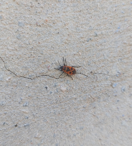
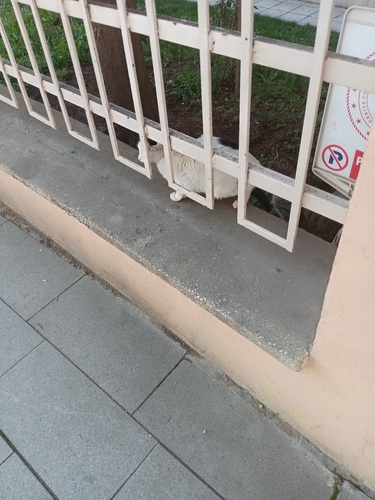
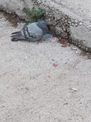
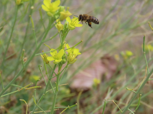
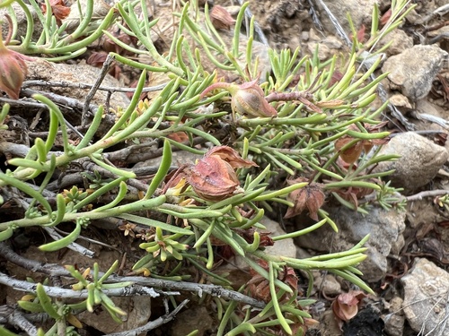
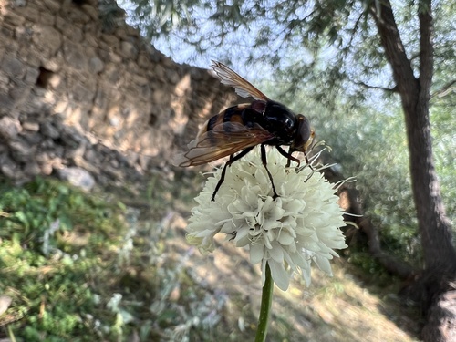
Research-grade observations from iNaturalist (within ~15 mi).
Events
Gallery
Sources
- • Wikipedia
- • Wikidata
- • iNaturalist
- • Open-Meteo / sunrise-sunset.org
- • Wikipedia Pageviews API
- • Open Library
- • Wikidata SPARQL (CC0) — population, area, elevation, inception, head of government, Commons image