Browse / Türkiye / Rize / Güneysu
Güneysu
Rizetown

Güneysu
Total population
8,722
Demographic figures from TurkStat. Overview below cites Wikipedia and may reference a different year.
City facts
Facts from Wikidata (CC0).
Overview
Güneysu is a town in Rize Province in the Black Sea region of Turkey, inland from the city of Rize. It is the seat of Güneysu District. Its population is 8,722 (2021).
Read more on WikipediaHistory & geography
History
Güneysu was formerly named in Greek Potamya (Ποταμιὰ, "river village") and the name persists in local usage to this day, as Güneysu stands on a plain watered by the Potamya river, a tributary of the Taşlıdere (or Askoroz) river (the ancient and Byzantine Ἄσκουρος ποταμός).
Geography
This is a hilly district of rivers and valleys, inland from the Black Sea coast, with peaks inland as high as 2000 m. The climate is wet, hence the number of valleys that have been cut through by mountain streams. Thus, floods and landslides are a constant threat even today. The coastal vegetation is broad-leaved but the higher land is pine forest, with Alpine plants in the high meadows up in the Kaçkar Mountains. Güneysu is an impoverished rural district losing much of its population as they migrate to jobs elsewhere (some of Turkey's biggest construction firms have their roots here for example). The main source of income is growing tea and in recent years kiwifruit. Other crops are mainly grown in family gardens for personal use. The only industry is tea processing, and Güneysu is a centre of this for the Rize province.
Excerpted from the corresponding Wikipedia article (CC BY-SA).
Geography
Coordinates & boundaries from the US Census TIGER/Line shapefiles.
Climate
10-year averages from ERA5 reanalysis (Open-Meteo).
Air quality
Walkability
Amenities nearby
Wildlife & biodiversity
Most-observed species
- Hooded CrowCorvus cornix Linnaeus, 1758 · Aves198
- Yellow-legged GullLarus michahellis J.F.Naumann, 1840 · Aves189
- Great Cormorant/European ShagPhalacrocorax carbo (Linnaeus, 1758) · Aves121
- Gray/Purple HeronArdea cinerea Linnaeus, 1758 · Aves120
- White WagtailMotacilla alba Linnaeus, 1758 · Aves113
- Black-headed GullChroicocephalus ridibundus (Linnaeus, 1766) · Aves109
- Little Egret/Western Reef-HeronEgretta garzetta (Linnaeus, 1766) · Aves103
- House SparrowPasser domesticus (Linnaeus, 1758) · Aves99
Citizen-science & research observations from the Global Biodiversity Information Facility (GBIF).
Earthquake history
Photos
Sights & places nearby
Notable people from here
Nearby places in Rize
- Çayeli9.6 mi away · pop. 24,583
- Derepazarı10.5 mi away · pop. 3,913
- İkizdere14 mi away · pop. 1,875
- Pazar20 mi away · pop. 17,946
- Çamlıhemşin21 mi away · pop. 1,763
- Vysoká1295.1 mi away · pop. 36
- Hartinkov1295.3 mi away · pop. 68
- Vranová1295.7 mi away
- Nový Dvůr1295.9 mi away · pop. 59
- Biskupice1297 mi away · pop. 407
- Chornice1298.1 mi away · pop. 830
- Mezihoří1299 mi away · pop. 71
Geography & sun
Nearby airports
Public attention
Books about this place
Recent natural events nearby
Ground air-quality sensors
Recently spotted species
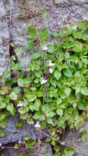
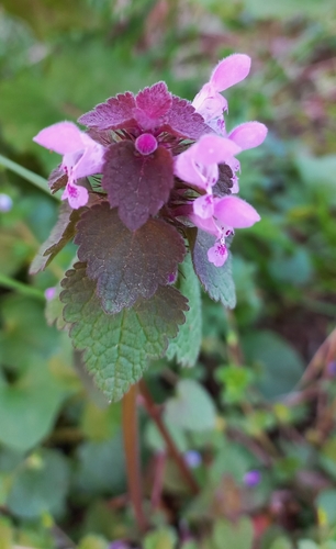
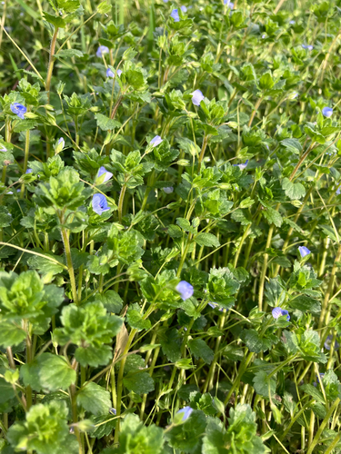
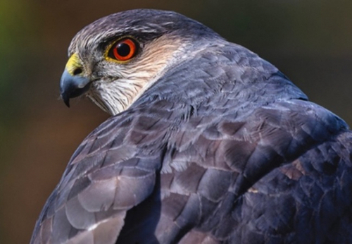
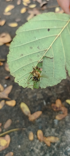
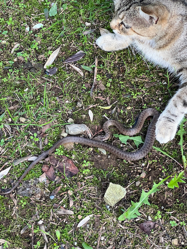
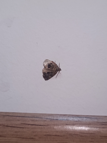
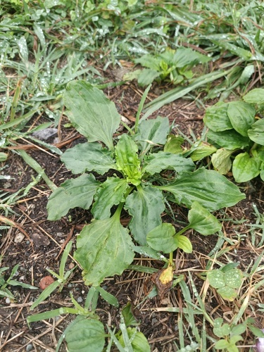
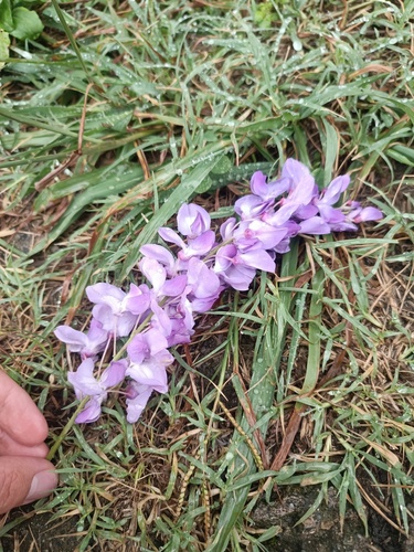
Research-grade observations from iNaturalist (within ~15 mi).
Events
Gallery
Sources
- • Wikipedia
- • Open-Meteo (ERA5 reanalysis)
- • Wikidata
- • GBIF (Global Biodiversity Information Facility)
- • iNaturalist
- • Wikidata SPARQL (CC0) — population, area, elevation, inception, head of government, Commons image