Browse / Türkiye / Erzurum / Hınıs
Hınıs
Erzurumtown

Hınıs
Total population
26,832
Demographic figures from TurkStat. Overview below cites Wikipedia and may reference a different year.
City facts
Facts from Wikidata (CC0).
Overview
Hınıs is a municipality and district of Erzurum Province, Turkey. Its area is 1,367 km2, and its population is 24,680 (2022). Historical monuments in the town include the castle and the Ulu Cami Mosque, said to be built in 1734 by Alaeddin, the bey of Muş. The town is populated by Kurds.
Read more on WikipediaHistory & geography
History
The Hınıs plain formed the main part of the early medieval Armenian canton of Varazhnunik. During this period (roughly the 4th through 7th centuries), Hınıs was probably a fortified market town. Later, after the Arab conquest of Armenia, the region became divided into several small principalities. Hınıs was "almost certainly" the capital of one of these principalities, which was called Sermatz in Greek sources. Sermatz seems to have covered the old district of Varazhnunik as well as the Varto plain to the southwest. Its rulers were probably vassals of the Kaysite emirs of Malazgirt. During the Kara Koyunlu period, Hınıs was the capital of a small Kurdish emirate which was a vassal of the emirate of Bitlis, which was in turn a vassal of the Kara Koyunlu themselves. The emirate of Hınıs was mainly based on the Hınıs plain but also extended south of the Murat river to include Lake Nazik and the area around Bulanık. Later, under the Ottoman Empire, Hınıs formed a sanjak of Erzurum Eyalet.
Geography
The Hınıs Plain is an upland plain centered on a tributary of the Murat River. A range of hills on the south separates the Hınıs plain from the Murat River. Winters are very cold and snowy, with temperatures consistently below freezing. Summers are dry, with hot days and cool nights.
Excerpted from the corresponding Wikipedia article (CC BY-SA).
Geography
Coordinates & boundaries from the US Census TIGER/Line shapefiles.
Climate
Air quality
Walkability
Amenities nearby
Wildlife & biodiversity
Most-observed species
- Protaetia funebris (Gory & Percheron, 1833)Protaetia funebris (Gory & Percheron, 1833) · Insecta1
- Balkan Marbled WhiteMelanargia larissa Hübner, 1827 · Insecta1
- Geranium argusEumedonia eumedon (Esper, 1780) · Insecta1
- Eurasian Marsh-HarrierCircus aeruginosus (Linnaeus, 1758) · Aves1
- Common BuzzardButeo buteo (Linnaeus, 1758) · Aves1
- Common RavenCorvus corax Linnaeus, 1758 · Aves1
- RookCorvus frugilegus Linnaeus, 1758 · Aves1
- Water PipitAnthus spinoletta (Linnaeus, 1758) · Aves1
Citizen-science & research observations from the Global Biodiversity Information Facility (GBIF).
Earthquake history
Most recent
- M 4.1 — 2026-01-0210 km NE of Yedisu, Turkey
- M 4.3 — 2025-08-2217 km S of Karlıova, Turkey
- M 4.2 — 2025-07-0224 km W of Karayazı, Turkey
- M 4.2 — 2025-03-2011 km NE of Yedisu, Turkey
- M 4.5 — 2025-02-2111 km S of Hınıs, Turkey
- M 4.7 — 2025-02-1518 km ESE of Yedisu, Turkey
Events from the USGS Earthquake Catalog (global) (FDSN Event Web Service).
Photos
Sights & places nearby
Notable people from here


People born within ~10 km, from Wikidata (CC0). Click any name for their Wikipedia article.
Nearby places in Erzurum
- Felonica1591.7 mi away · pop. 1,359
- Poggio Rusco1603.3 mi away · pop. 6,297
- Villa Poma1603.5 mi away · pop. 1,621
- Pieve di Coriano1603.9 mi away · pop. 895
- San Giovanni del Dosso1604.9 mi away · pop. 1,180
- San Giacomo delle Segnate1607.3 mi away · pop. 1,704
- Moglia1613 mi away · pop. 5,666
- Bigarello1613.5 mi away
- San Giacomo Po1615.5 mi away · pop. 329
- Villanova de Bellis1615.8 mi away
- San Nicolò Po1617.1 mi away · pop. 279
- Pellaloco1619.2 mi away
Geography & sun
Elevation, sunrise/sunset and daylight from Open-Meteo. Solar climatology from NASA POWER.
Nearby airports
Public attention
Pageview totals from the Wikimedia Pageviews API.
Books about Hınıs

Search results from Open Library.
Recent natural events nearby
Ground air-quality sensors
Recently spotted species
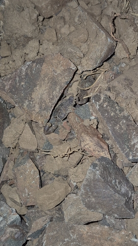
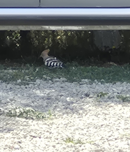
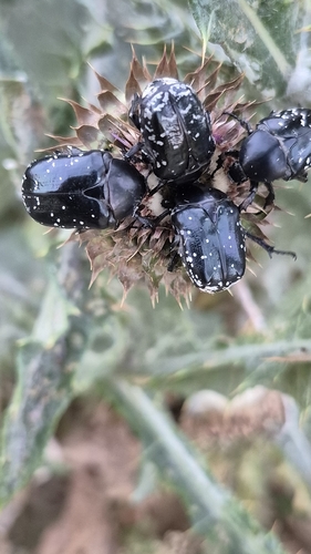
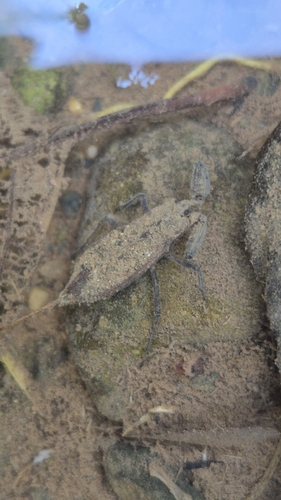
Research-grade observations from iNaturalist (within ~15 mi).
Events
Gallery
Sources
- • Wikipedia
- • Wikidata
- • USGS Earthquake Catalog (global feed)
- • GBIF (Global Biodiversity Information Facility)
- • iNaturalist
- • Open-Meteo / sunrise-sunset.org
- • Wikipedia Pageviews API
- • Open Library
- • Wikidata SPARQL (CC0) — population, area, elevation, inception, head of government, Commons image