Browse / Türkiye / Çankırı / Ilgaz
Ilgaz
Çankırıtown
Demographic figures from TurkStat. Overview below cites Wikipedia and may reference a different year.
City facts
Overview
Ilgaz, formerly Koçhisar, is a town in Çankırı Province in the Central Anatolia region of Turkey. It is the seat of Ilgaz District. Its population is 7,825 (2021). It lies at the southern foot of the Ilgaz Mountains, that extend between Çankırı and Kastamonu provinces. The mountain is home to ski resorts.
Read more on WikipediaHistory & geography
Geography
Coordinates & boundaries from the US Census TIGER/Line shapefiles.
Climate
Air quality
Walkability
Amenities nearby
Wildlife & biodiversity
Most-observed species
- Coal TitPeriparus ater (Linnaeus, 1758) · Aves39
- Common ChaffinchFringilla coelebs Linnaeus, 1758 · Aves38
- Krüper's NuthatchSitta krueperi Pelzeln, 1863 · Aves37
- Germander SpeedwellVeronica chamaedrys L. · Magnoliopsida37
- GoldcrestRegulus regulus (Linnaeus, 1758) · Aves33
- Common RosefinchCarpodacus erythrinus (Pallas, 1770) · Aves31
- Common House-MartinDelichon urbicum (Linnaeus, 1758) · Aves29
- Common Wood-PigeonColumba palumbus Linnaeus, 1758 · Aves28
Citizen-science & research observations from the Global Biodiversity Information Facility (GBIF).
Earthquake history
Most recent
- M 4.1 — 2026-09-0318 km NW of Sulakyurt, Turkey
- M 4.3 — 2026-08-2114 km NNW of Ilgaz, Turkey
- M 4.1 — 2024-11-1125 km ESE of Yapraklı, Turkey
- M 4.9 — 2023-12-2719 km NNE of Ilgaz, Turkey
- M 4.3 — 2023-04-0116 km NNW of Ilgaz, Turkey
- M 4.1 — 2022-12-2821 km NNE of Tosya, Turkey
Events from the USGS Earthquake Catalog (global) (FDSN Event Web Service).
Photos
Sights & places nearby
Notable people from here
Geography & sun
Elevation, sunrise/sunset and daylight from Open-Meteo. Solar climatology from NASA POWER.
Nearby airports
Public attention
Pageview totals from the Wikimedia Pageviews API.
Books about this place
Recent natural events nearby
Ground air-quality sensors
Recently spotted species
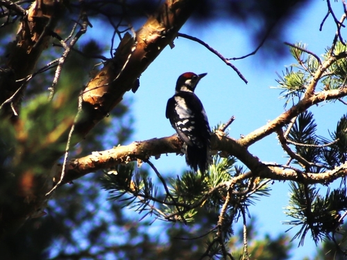
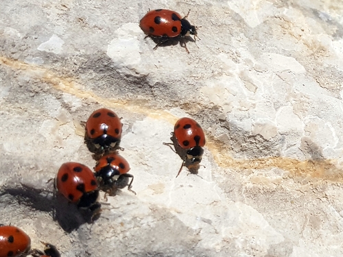
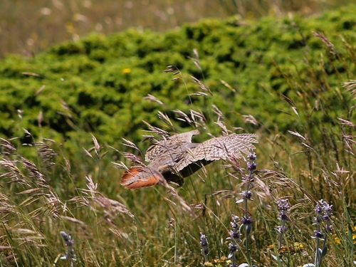
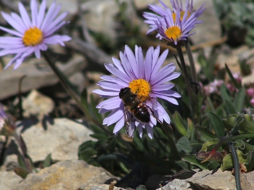
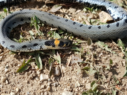
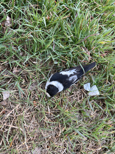
Research-grade observations from iNaturalist (within ~15 mi).
Events
Gallery
Sources
- • Wikipedia
- • USGS Earthquake Catalog (global feed)
- • GBIF (Global Biodiversity Information Facility)
- • iNaturalist
- • Open-Meteo / sunrise-sunset.org
- • Wikipedia Pageviews API