Browse / Türkiye / İzmir / İzmir
İzmir
İzmircity

İzmir
Total population
4,493,242
Demographic figures from TurkStat. Overview below cites Wikipedia and may reference a different year.
City facts
Sister cities
Facts from Wikidata (CC0).
Overview
İzmir is the third most populous city in Turkey, after Istanbul and Ankara, and the largest metropolitan area on the Aegean Sea. It is on the Aegean coast of Anatolia, and is the capital of İzmir Province. As of 2025 end of year estimate, İzmir Province has a total population of 4,504,184 while İzmir city is home to around 3.5 million inhabitants. It extends along the outlying waters of the Gulf of İzmir and inland to the north across the Gediz River Delta; to the east along an alluvial plain created by several small streams; and to slightly more rugged terrain in the south. İzmir's climate is Mediterranean.
Read more on WikipediaHistory & geography
History
The city is one of the oldest settlements of the Mediterranean basin. The 2004 discovery of Yeşilova Höyük and the neighboring Yassıtepe, in the small delta of Meles River, now the Bornova plain, reset the starting date of the city's past further back than previously thought. Findings from two seasons of excavations carried out in the Yeşilova Höyük by a team of archaeologists from İzmir's Ege University indicate three levels, two of which are prehistoric. Level 2 bears traces of early to mid-Chalcolithic, and Level 3 of Neolithic settlements. These two levels would have been inhabited by the indigenous peoples of the area, very roughly, between the 7th millennium BC and the 4th millennium BC. As the seashore receded with time, the site was later used as a cemetery. Several graves containing artifacts dating roughly from 3000 BC, and contemporary with the first city of Troy, were found. The first settlement to have commanded the Gulf of İzmir as a whole was established on top of Mount Yamanlar, to the northeast of the inner gulf. In connection with the silt brought by the streams which join the sea along the coastline, the settlement to form later the core of "Old Smyrna" was founded on the slopes of the same mountain, on a hill (then a small peninsula connected to the mainland by a small isthmus) in the present-day neighborhood of Tepekule in Bayraklı. The Bayraklı settlement is thought to have stretched back in time as far as the 3rd millennium BC. Archaeological findings of the late Bronze Age show a certain degree of Mycenaean influence in the settlement and the surrounding region, though further excavations of Bronze Age layers are needed to propose Old Smyrna of that time as a Mycenaean settlement. In the 13th century BC, however, invasions from the Balkans…
Excerpted from the corresponding Wikipedia article (CC BY-SA).
Geography
Coordinates & boundaries from the US Census TIGER/Line shapefiles.
Climate
Air quality
Walkability
Amenities nearby
Wildlife & biodiversity
Most-observed species
- Hooded CrowCorvus cornix Linnaeus, 1758 · Aves928
- Yellow-legged GullLarus michahellis J.F.Naumann, 1840 · Aves838
- House SparrowPasser domesticus (Linnaeus, 1758) · Aves715
- Eurasian Collared-DoveStreptopelia decaocto (Frivaldszky, 1838) · Aves659
- Eurasian MagpiePica pica (Linnaeus, 1758) · Aves621
- Greater FlamingoPhoenicopterus roseus Pallas, 1811 · Aves607
- Western JackdawColoeus monedula (Linnaeus, 1758) · Aves576
- Rock PigeonColumba livia J.F.Gmelin, 1789 · Aves547
Citizen-science & research observations from the Global Biodiversity Information Facility (GBIF).
Earthquake history
Photos
Sights & places nearby
Notable people from here


People born within ~10 km, from Wikidata (CC0). Click any name for their Wikipedia article.
Nearby places in İzmir
- Konak0 mi away · pop. 385,000
- Karabağlar2.3 mi away · pop. 500,000
- Karşıyaka2.5 mi away · pop. 345,000
- Buca3.3 mi away · pop. 517,963
- Bayraklı3.7 mi away · pop. 330,000
- Balçova4.2 mi away · pop. 80,000
- Bornova5.9 mi away · pop. 452,867
- Çiğli6.3 mi away · pop. 185,000
- Gaziemir6.8 mi away · pop. 135,000
- Narlıdere7.1 mi away · pop. 65,000
- Menderes11.4 mi away · pop. 104,147
- Menemen13.6 mi away · pop. 193,229
Geography & sun
Elevation, sunrise/sunset and daylight from Open-Meteo. Solar climatology from NASA POWER.
Nearby airports
Public attention
Pageview totals from the Wikimedia Pageviews API.
Books about İzmir


Search results from Open Library.
Recent natural events nearby
Ground air-quality sensors
Recently spotted species
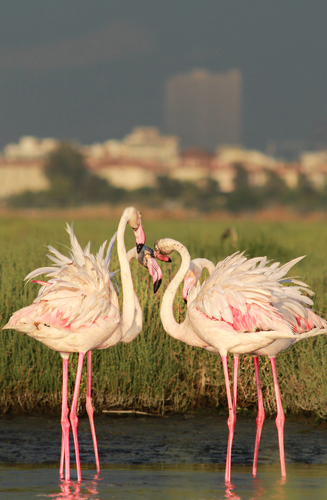
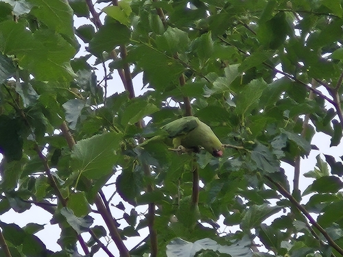
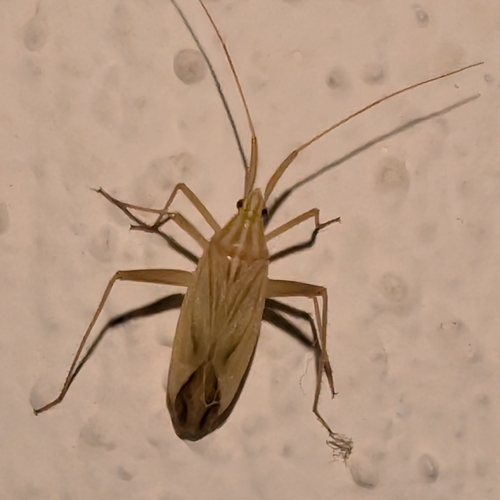
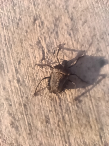
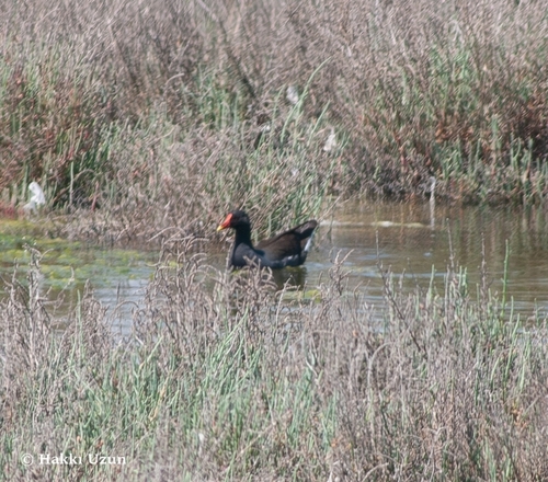
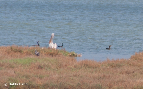
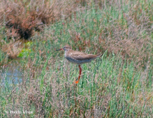
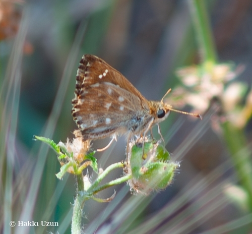
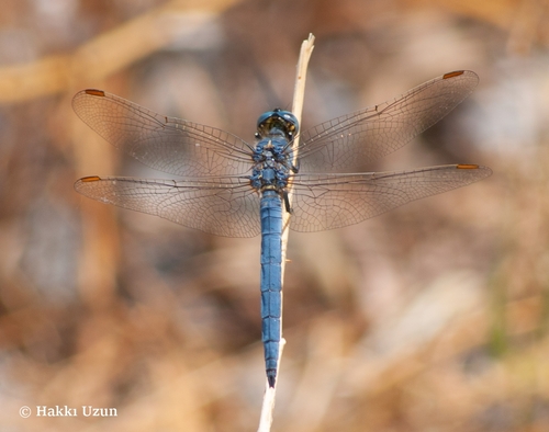
Research-grade observations from iNaturalist (within ~15 mi).
Events
Notable, recurring, and historical events associated with İzmir, sourced from Wikidata.
- Nights of Solidarity with ChileNov 13, 1976demonstration
- Q105169656Aug 6, 1972sporting event
Source: Wikidata (CC0).
Gallery
Geotagged photos within ~6 miles of İzmir, from Wikimedia Commons contributors.


.JPG)
.JPG)
.JPG)
.JPG)
.JPG)
.JPG)
.jpg)


.jpeg)


Photos via Wikimedia Commons — see each image page for license & attribution.
Sources
- • Wikipedia
- • Wikimedia Commons
- • Wikidata
- • GBIF (Global Biodiversity Information Facility)
- • iNaturalist
- • Open-Meteo / sunrise-sunset.org
- • Wikipedia Pageviews API
- • Open Library
- • Wikidata SPARQL (CC0) — population, area, elevation, inception, head of government, Commons image