Browse / Türkiye / Çankırı / Kızılırmak
Kızılırmak
Çankırıtown
Total population
8,220
Demographic figures from TurkStat. Overview below cites Wikipedia and may reference a different year.
City facts
Facts from Wikidata (CC0).
Overview
Kızılırmak is a town in Çankırı Province in the Central Anatolia region of Turkey. It takes its name from the river Kızılırmak. It is the seat of Kızılırmak District. Its population is 2,604 (2021).
Read more on WikipediaHistory & geography
Geography
Coordinates & boundaries from the US Census TIGER/Line shapefiles.
Climate
Air quality
Walkability
Amenities nearby
Wildlife & biodiversity
Most-observed species
- White StorkCiconia ciconia (Linnaeus, 1758) · Aves3
- Crested LarkGalerida cristata (Linnaeus, 1758) · Aves3
- Eurasian Collared-DoveStreptopelia decaocto (Frivaldszky, 1838) · Aves3
- Eurasian MagpiePica pica (Linnaeus, 1758) · Aves3
- Little Egret/Western Reef-HeronEgretta garzetta (Linnaeus, 1766) · Aves2
- Purple HeronArdea purpurea Linnaeus, 1766 · Aves2
- Great Cormorant/European ShagPhalacrocorax carbo (Linnaeus, 1758) · Aves2
- Hooded CrowCorvus cornix Linnaeus, 1758 · Aves2
Citizen-science & research observations from the Global Biodiversity Information Facility (GBIF).
Earthquake history
Most recent
- M 4.1 — 2026-09-0318 km NW of Sulakyurt, Turkey
- M 4.3 — 2026-08-2114 km NNW of Ilgaz, Turkey
- M 4.1 — 2024-11-1125 km ESE of Yapraklı, Turkey
- M 4.9 — 2023-12-2719 km NNE of Ilgaz, Turkey
- M 4.3 — 2023-04-0116 km NNW of Ilgaz, Turkey
- M 4.1 — 2022-12-2821 km NNE of Tosya, Turkey
Events from the USGS Earthquake Catalog (global) (FDSN Event Web Service).
Photos
Sights & places nearby
Notable people from here
Geography & sun
Elevation, sunrise/sunset and daylight from Open-Meteo. Solar climatology from NASA POWER.
Nearby airports
Public attention
Pageview totals from the Wikimedia Pageviews API.
Books about this place
Recent natural events nearby
Ground air-quality sensors
Recently spotted species
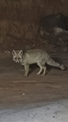
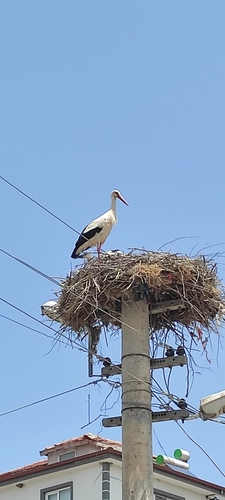
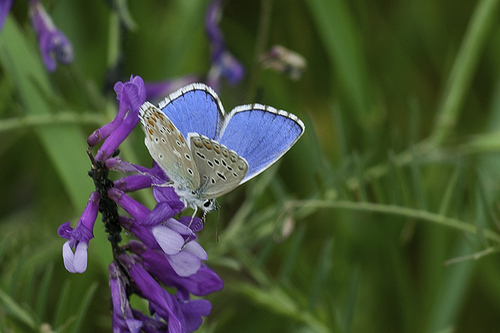
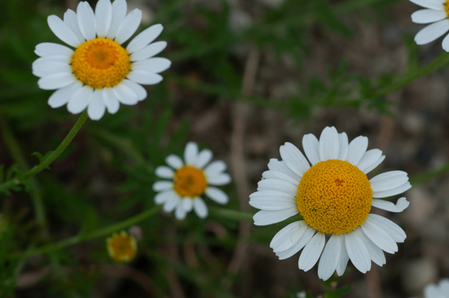
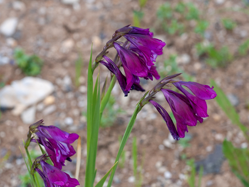
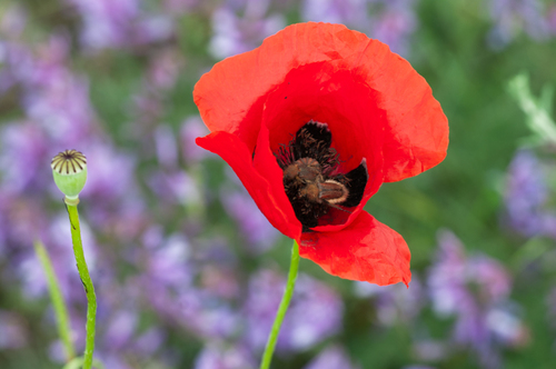
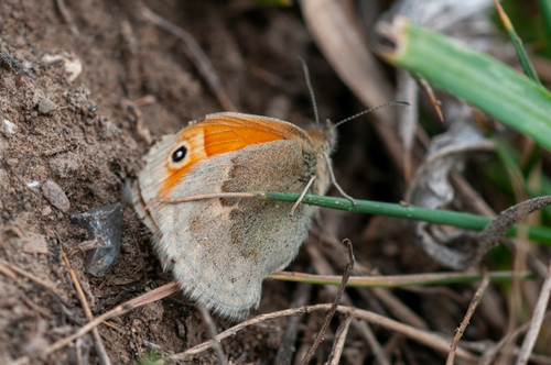
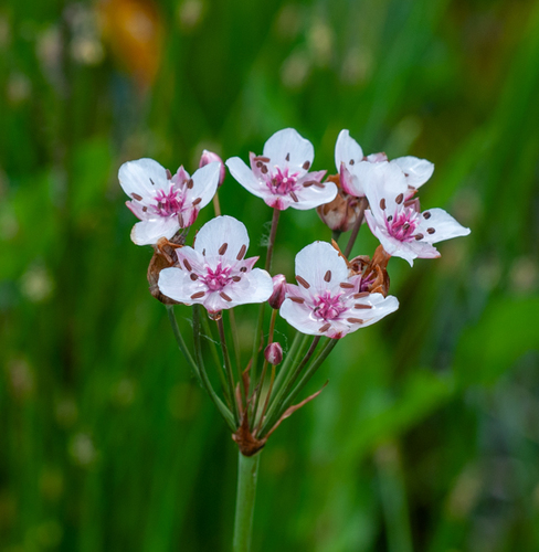
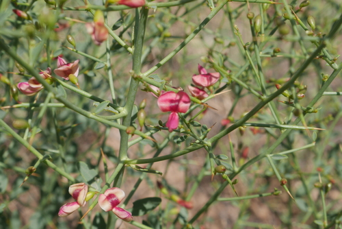
Research-grade observations from iNaturalist (within ~15 mi).
Events
Gallery
Sources
- • Wikipedia
- • Wikidata
- • USGS Earthquake Catalog (global feed)
- • GBIF (Global Biodiversity Information Facility)
- • iNaturalist
- • Open-Meteo / sunrise-sunset.org
- • Wikipedia Pageviews API
- • Wikidata SPARQL (CC0) — population, area, elevation, inception, head of government, Commons image