Browse / Türkiye / Istanbul / Kadıköy
Kadıköy
Istanbultown

Kadıköy
Total population
452,302
Founded
1930
Demographic figures from TurkStat. Overview below cites Wikipedia and may reference a different year.
City facts
Sister cities
Facts from Wikidata (CC0).
Overview
Kadıköy is a municipality and district in Istanbul Province, Turkey. Its area is 25 km2, and its population is 467,919 (2023). It is a large and populous area in the Asian side of Istanbul, on the northern shore of the Sea of Marmara. It partially faces the historic city centre of Constantinople on the European side of the Bosporus. It is bordered by the districts of Üsküdar, to the northwest, Ataşehir, to the northeast, and Maltepe, to the southeast.
Read more on WikipediaHistory & geography
History
Kadıköy is an older settlement than most of those on the Anatolian side of the city of Istanbul. Relics dating to 5500–3500 BC (Chalcolithic period) have been found at the Fikirtepe Mound, and articles of stone, bone, ceramic, jewelry and bronze show that there has been a continuous settlement since prehistoric times. A port settlement dating from the Phoenicians has also been discovered. Chalcedon was the first settlement that the Greeks from Megara established on the Bosphorus, in 685 BC, a few years before they established Byzantium on the other side of the strait in 667 BC. Towns such as Rouphinianai and Poleatikon were located in Chalcedon. Chalcedon became known as the 'city of the blind', the story being that Byzantium was founded following a prophecy that a great capital would be built 'opposite the city of the blind' (meaning that the people of Chalcedon must have been blind not to see the obvious value of the peninsula on the Golden Horn as a natural defensive harbour). The fourth ecumenical church council, Council of Chalcedon, was held there in 451 AD. Chalcedon changed hands time and time again, as Persians, Bithynians, Romans, Byzantines, Arabs, Crusaders, and Turks passed through the area, which was badly damaged during the Fourth Crusade and came into Ottoman hands in 1353, a full century before Constantinople. Thus, Kadıköy has the oldest mosque in Istanbul, built almost a century before the conquest of Constantinople in 1453. At the time of the conquest, Chalcedon was a rural settlement outside the protection of the city. It was soon put under the jurisdiction of the Constantinople courts, hence the name Kadıköy, which means Village of the Judge. In the Ottoman period, Kadıköy became a market for agricultural goods and in time developed into a…
Geography
There are 21 neighbourhoods in Kadıköy District: * 19 Mayıs * Acıbadem * Bostancı * Caddebostan * Caferağa * Dumlupınar * Eğitim * Erenköy * Fenerbahçe * Feneryolu * Fikirtepe * Göztepe * Hasanpaşa * Koşuyolu * Kozyatağı * Merdivenköy * Osmanağa * Rasimpaşa * Sahraycıedit * Suadiye * Zühtüpaşa The major Haydarpaşa Terminal of the Turkish State Railways is located close to Kadıköy's centre and was opened in 1908 as the terminus of the Istanbul-Baghdad and Istanbul-Damascus-Medina railways. The terminal closed due to infrastructure works in 2013 and reopened in 2018, serving east- and south-bound international, domestic and regional trains. The Söğütlüçeşme railway station, the next station after Haydarpaşa Terminal, is the terminus of the Metrobus line to European side of Istanbul. The M4 line of the Istanbul Metro runs from Kadıköy to Tavşantepe daily between 6:00 and 23:57. The centre of Kadıköy today is the transportation hub for people commuting between the Asian side of the city and the European side across the Bosphorus. There is a large bus and minibus terminal next to the ferry quay. Ferries are the most dominantly visible form of transport in Kadıköy, and the central market area is adjacent to the ferry quay. Public transportation with terminus in Kadıköy: ;Bus system For more lines, visit: http://www.iett.istanbul/en/main/hatlar ;Metro *M4 Kadıköy-Sabiha Gökçen (Sabiha Gökçen International Airport) *M8 *Marmaray ;Nostalgic tram *T3 (Ring) Mühürdar-Bahariye-Moda (in centrum) ;Ferryboats Traditional ferries, *Eminönü *Karaköy *Kabataş *Beşiktaş *Princes' Islands Sea buses, *Bostancı-Kadıköy-Yenikapı-Bakırköy *Kabataş
Excerpted from the corresponding Wikipedia article (CC BY-SA).
Geography
Coordinates & boundaries from the US Census TIGER/Line shapefiles.
Climate
Air quality
Walkability
Amenities nearby
Wildlife & biodiversity
Most-observed species
- Hooded CrowCorvus cornix Linnaeus, 1758 · Aves9,733
- Yellow-legged GullLarus michahellis J.F.Naumann, 1840 · Aves9,339
- House SparrowPasser domesticus (Linnaeus, 1758) · Aves6,389
- Great TitParus major Linnaeus, 1758 · Aves5,842
- Rock PigeonColumba livia J.F.Gmelin, 1789 · Aves5,585
- Western JackdawColoeus monedula (Linnaeus, 1758) · Aves4,854
- Eurasian MagpiePica pica (Linnaeus, 1758) · Aves4,811
- Rose-ringed ParakeetPsittacula krameri (Scopoli, 1769) · Aves4,608
Citizen-science & research observations from the Global Biodiversity Information Facility (GBIF).
Earthquake history
Most recent
- M 5 — 2025-10-0222 km S of Marmara Ereğlisi, Turkey
- M 3.8 — 2025-07-0530 km SSW of Kumburgaz, Turkey
- M 4.2 — 2025-07-024 km NE of Gemlik, Turkey
- M 4 — 2025-07-013 km S of Umurbey, Turkey
- M 3.7 — 2025-05-0327 km SE of Marmara Ereğlisi, Turkey
- M 4.3 — 2025-04-2519 km SSW of Kumburgaz, Turkey
Events from the USGS Earthquake Catalog (global) (FDSN Event Web Service).
Photos
Sights & places nearby
Notable people from here


People born within ~10 km, from Wikidata (CC0). Click any name for their Wikipedia article.
Nearby places in Istanbul
- Bibione862.9 mi away · pop. 2,564
- Bevazzana863.1 mi away · pop. 349
- San Giorgio al Tagliamento869.3 mi away
- Villanova Sant'Antonio872.3 mi away
- Ponte Crepaldo878.7 mi away
- Lido di Jesolo880 mi away · pop. 10,523
- Ceggia883.1 mi away · pop. 6,145
- Cessalto884.7 mi away · pop. 3,134
- Santa Maria di Campagna885.2 mi away
- Sant'Erasmo890.3 mi away
- Meolo890.4 mi away · pop. 6,054
- Porto Viro891.4 mi away · pop. 14,494
Geography & sun
Elevation, sunrise/sunset and daylight from Open-Meteo. Solar climatology from NASA POWER.
Nearby airports
Public attention
Pageview totals from the Wikimedia Pageviews API.
Books about Kadıköy


Search results from Open Library.
Recent natural events nearby
Ground air-quality sensors
Recently spotted species
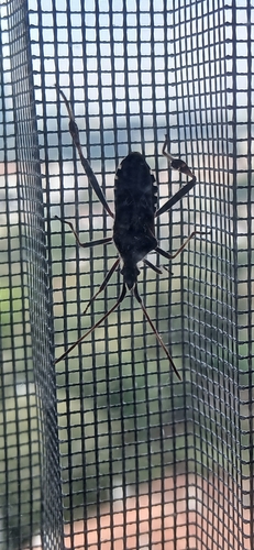
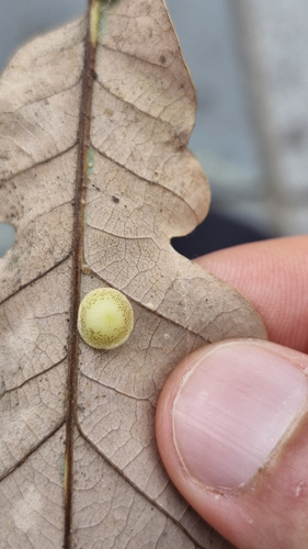
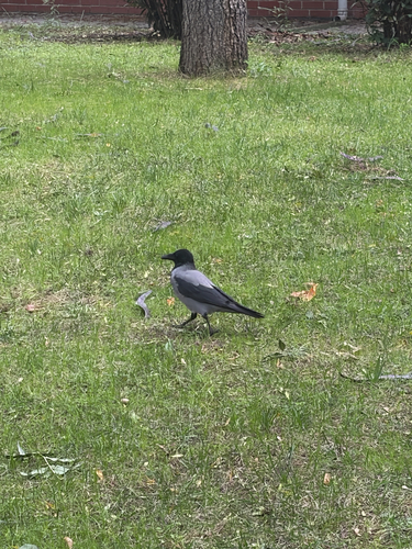
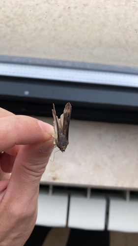
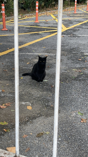
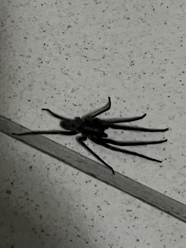
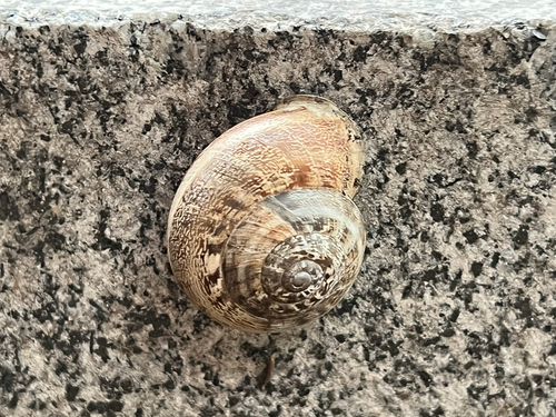
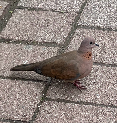
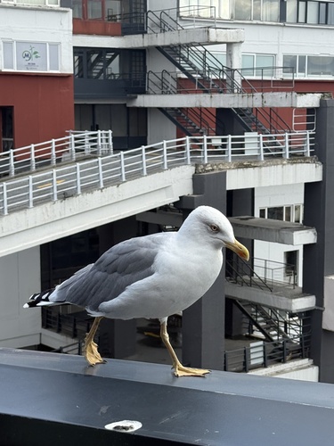
Research-grade observations from iNaturalist (within ~15 mi).
Events
Notable, recurring, and historical events associated with Kadıköy, sourced from Wikidata.
- Q123740786Dec 10, 2023demonstration
Source: Wikidata (CC0).
Gallery
Sources
- • Wikipedia
- • Wikidata
- • USGS Earthquake Catalog (global feed)
- • GBIF (Global Biodiversity Information Facility)
- • iNaturalist
- • Open-Meteo / sunrise-sunset.org
- • Wikipedia Pageviews API
- • Open Library