Browse / Türkiye / Edirne / Keşan
Keşan
Edirnetown

Keşan
Total population
61,896
Demographic figures from TurkStat. Overview below cites Wikipedia and may reference a different year.
City facts
Overview
Keşan is a town in Edirne Province, Turkey. It is the seat of Keşan District. Its population is 64,842 (2022). In the summer its population increases because of an influx of tourists. The mayor is Mehmet Özcan (CHP).
Read more on WikipediaHistory & geography
History
Humans have lived there continuously since the 30th century BC. The first inhabitants were the Neolithic peoples and later the Thracians. Many Thracian coins of the Odrysians have been found near Keşan. The city was first attested in 580 BC as part of the Odrysian kingdom of Thrace and then came under the rule of the Persian Empire, the Macedonian Empire, the Roman Empire (including i.е. Byzantine Empire), the Bulgarian Empire, the Byzantine Empire, the Latin Empire, again the Bulgarian Empire and the Byzantine Empire. The town lay on the Via Egnatia and was thus mentioned by the geographer Claudius Ptolemy and many others. Throughout its history, the town was referred to as: Zorlanis (and Zerlanis, Zorlanae, Zorlanea), Topiris (and Topir, Topiro, Topirion), Kission (and Kissos, Kissan, Kissupolis), Rusion (and Russa, Roussa, Rossion). It was raided by the Kutrigurs in 538 and again in 559 under the leadership of Khan Zabergan. Bulgars and Slavs captured it in 617, 623 and 626, Tervel of Bulgaria in 705 and 717-718, Khan Krum in 813, Tzar Simeon the Great in 896, 913, 921, 922 and 923, Bulgarian rebels in 1040, Tzar Ivan Asen II in 1235–1236, Tzar Michail Shishman in 1328. Here is also the place of the remarkable Battle of Rusion, where Kaloyan of Bulgaria defeated the army of the Latin Empire in 1206. The castle of Rusion is situated on the hill about 4 km southwest of the city center of Keşan and some ruins still exist around (coordinates: 40.826272N 26.679587E) the so-called "Kaletepe" (tur.- Fortress hill). Rusion did not easily fall to the Ottoman Turks. In 1359, the fortress was first held for a short time by Gazi Süleyman Paşa before being permanently annexed by Lala Şahin Paşa in 1362. Keşan belonged to the Galipoli Sanjak, and as such was part of the…
Geography
Keşan lies in the southern part of Edirne Province, at the intersection of the State roads D.550 (Edirne–Gelibolu) and D.110 (İpsala–Istanbul). The town consists of 11 quarters: Mustafa Kemal Paşa, Yenimahalle, İspatcami, Cumhuriyet, İstasyon, Yenimescit, Aşağızaferiye, Yukarızaferiye, Büyükcami, Paşayiğit and İzzetiye.
Excerpted from the corresponding Wikipedia article (CC BY-SA).
Geography
Coordinates & boundaries from the US Census TIGER/Line shapefiles.
Climate
Air quality
Walkability
Amenities nearby
Wildlife & biodiversity
Most-observed species
- Great Crested GrebePodiceps cristatus (Linnaeus, 1758) · Aves12
- Yellow-legged GullLarus michahellis J.F.Naumann, 1840 · Aves12
- Eurasian CootFulica atra Linnaeus, 1758 · Aves10
- Eurasian Marsh-HarrierCircus aeruginosus (Linnaeus, 1758) · Aves10
- Pygmy cormorantMicrocarbo pygmaeus (Pallas, 1773) · Aves9
- Common BuzzardButeo buteo (Linnaeus, 1758) · Aves9
- Eurasian Collared-DoveStreptopelia decaocto (Frivaldszky, 1838) · Aves9
- Eurasian MagpiePica pica (Linnaeus, 1758) · Aves9
Citizen-science & research observations from the Global Biodiversity Information Facility (GBIF).
Earthquake history
Most recent
- M 4.2 — 2024-12-1232 km NNW of Eceabat, Turkey
- M 4.2 — 2024-02-2723 km WNW of Biga, Turkey
- M 4.1 — 2023-11-0710 km SSW of Marmara, Turkey
- M 4.2 — 2023-05-0429 km NNW of Eceabat, Turkey
- M 4.2 — 2022-12-1322 km NW of Biga, Turkey
- M 4.4 — 2022-02-2013 km SSW of Kumba?, Turkey
Events from the USGS Earthquake Catalog (global) (FDSN Event Web Service).
Photos
Sights & places nearby
Notable people from here
Geography & sun
Elevation, sunrise/sunset and daylight from Open-Meteo. Solar climatology from NASA POWER.
Nearby airports
Public attention
Pageview totals from the Wikimedia Pageviews API.
Books about Keşan

Search results from Open Library.
Recent natural events nearby
Ground air-quality sensors
Recently spotted species
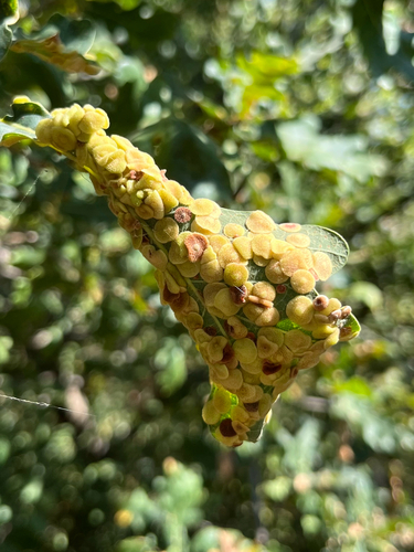
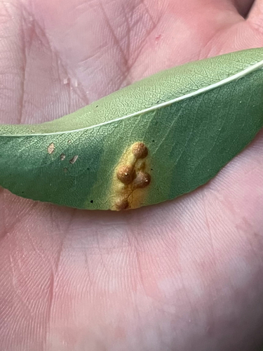
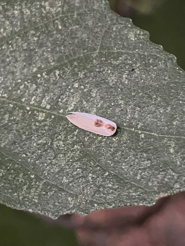
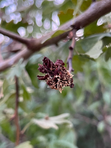
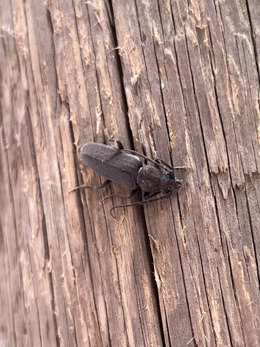
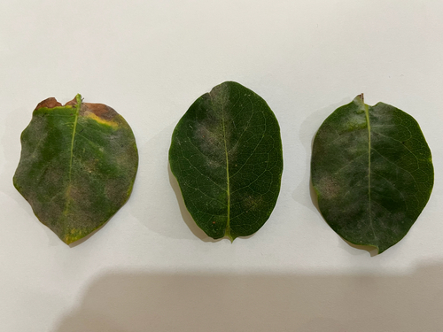
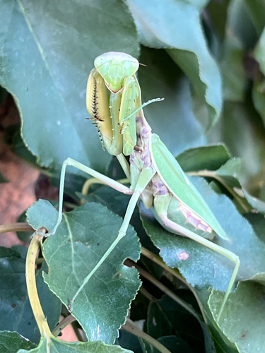
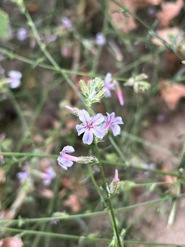
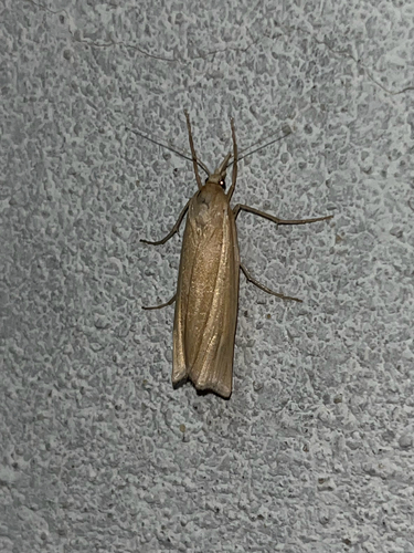
Research-grade observations from iNaturalist (within ~15 mi).
Events
Gallery
Sources
- • Wikipedia
- • USGS Earthquake Catalog (global feed)
- • GBIF (Global Biodiversity Information Facility)
- • iNaturalist
- • Open-Meteo / sunrise-sunset.org
- • Wikipedia Pageviews API
- • Open Library
- • Wikidata SPARQL (CC0) — population, area, elevation, inception, head of government, Commons image