Browse / Türkiye / Kastamonu / Küre
Küre
Kastamonutown

Küre
Total population
2,522
Air quality index
Demographic figures from TurkStat. Overview below cites Wikipedia and may reference a different year.
City facts
Facts from Wikidata (CC0).
Overview
Küre is a town in the Kastamonu Province in the Black Sea region of Turkey. It is the seat of Küre District. Its population is 2,522 (2021). The town lies at an elevation of 1,020 m (3,346 ft).
Read more on WikipediaHistory & geography
Geography
It is a small forest town. It was established in a valley between two mountains, at an altitude of approximately 1,500 m. It is on the Kastamonu - Inebolu road. It is 60 km from Kastamonu and 30 km from Inebolu . The main source of income of the people is the copper mine operation in the district and forestry .
Excerpted from the corresponding Wikipedia article (CC BY-SA).
Geography
Coordinates & boundaries from the US Census TIGER/Line shapefiles.
Climate
Air quality
Current readings from Open-Meteo Air Quality API (Copernicus CAMS European reanalysis).
Walkability
Amenities nearby
Wildlife & biodiversity
Most-observed species
- DropwortFilipendula vulgaris Moench · Magnoliopsida6
- Pyramidal OrchidAnacamptis pyramidalis (L.) Rich. · Liliopsida5
- Goat's-rueGalega officinalis L. · Magnoliopsida5
- PrimrosePrimula vulgaris Huds. · Magnoliopsida3
- Field BindweedConvolvulus arvensis L. · Magnoliopsida2
- Hungarian VetchVicia pannonica Crantz · Magnoliopsida2
- BrackenPteridium aquilinum (L.) Kuhn · Polypodiopsida2
- Wall GermanderTeucrium chamaedrys L. · Magnoliopsida2
Citizen-science & research observations from the Global Biodiversity Information Facility (GBIF).
Earthquake history
Most recent
- M 4.3 — 2026-08-2114 km NNW of Ilgaz, Turkey
- M 4.9 — 2023-12-2719 km NNE of Ilgaz, Turkey
- M 4.3 — 2023-04-0116 km NNW of Ilgaz, Turkey
- M 4.1 — 2022-12-2821 km NNE of Tosya, Turkey
- M 4.2 — 2022-03-2717 km NNE of Tosya, Turkey
- M 4.1 — 2022-02-2433 km NE of Tosya, Turkey
Events from the USGS Earthquake Catalog (global) (FDSN Event Web Service).
Photos
Sights & places nearby
Notable people from here
Nearby places in Kastamonu
- Ağlı11.5 mi away · pop. 2,110
- İnebolu12.2 mi away · pop. 10,594
- Seydiler12.9 mi away · pop. 2,851
- Devrekani15.5 mi away · pop. 5,763
- Bozkurt18.8 mi away · pop. 9,920
- Doğanyurt18.9 mi away · pop. 997
- Abana19.4 mi away · pop. 3,317
- Azdavay24 mi away · pop. 3,227
- Şenpazar24.6 mi away · pop. 1,609
- Daday26.2 mi away · pop. 2,825
- Çatalzeytin28.3 mi away · pop. 3,200
- Kastamonu29.9 mi away · pop. 125,622
Geography & sun
Elevation, sunrise/sunset and daylight from Open-Meteo. Solar climatology from NASA POWER.
Nearby airports
Public attention
Pageview totals from the Wikimedia Pageviews API.
Books about Küre
Search results from Open Library.
Recent natural events nearby
Ground air-quality sensors
Recently spotted species
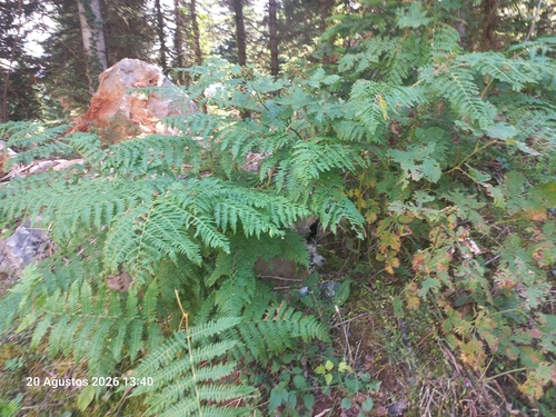
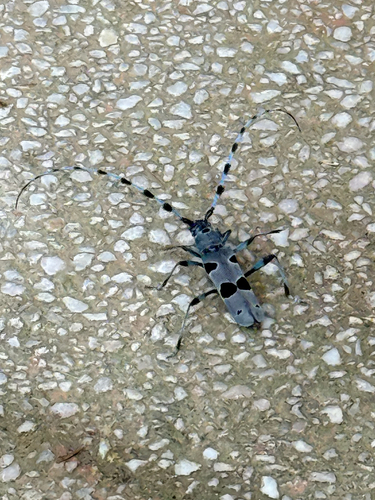
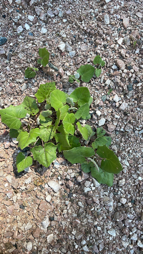
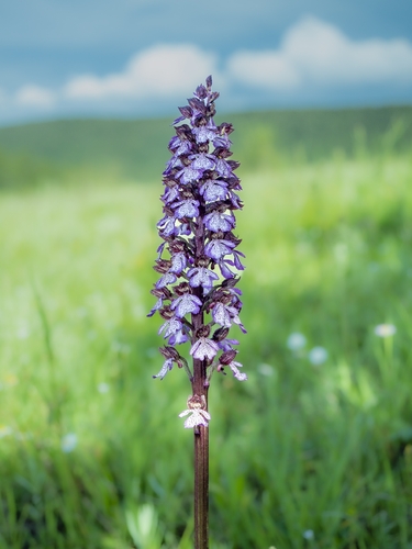
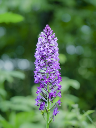
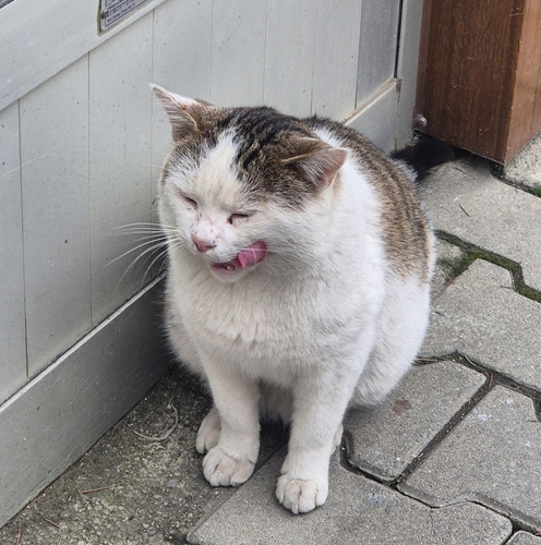
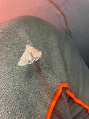
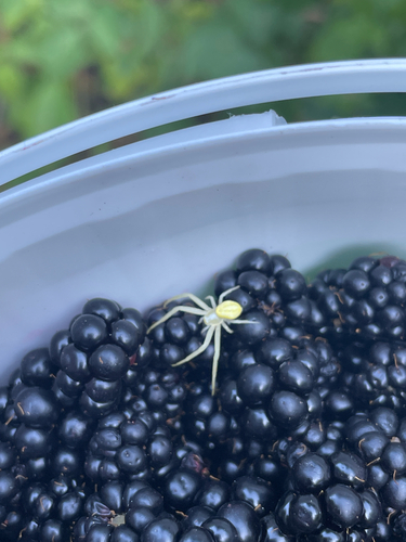
Research-grade observations from iNaturalist (within ~15 mi).
Events
Gallery
Sources
- • Wikipedia
- • Wikidata
- • Open-Meteo Air Quality (CAMS)
- • USGS Earthquake Catalog (global feed)
- • GBIF (Global Biodiversity Information Facility)
- • iNaturalist
- • Open-Elevation
- • Open-Meteo / sunrise-sunset.org
- • Wikipedia Pageviews API
- • Open Library
- • Wikidata SPARQL (CC0) — population, area, elevation, inception, head of government, Commons image