Browse / Türkiye / Balıkesir / Marmara
Marmara
Balıkesirtown

Marmara
Demographic figures from TurkStat. Overview below cites Wikipedia and may reference a different year.
City facts
Overview
Marmara is a municipality and district of Balıkesir Province, Turkey. Its area is 134 km2, and its population is 10,601 (2022). It comprises Marmara, Avşa and Ekinlik islands along with the neighbouring smaller islands. The mayor is Süleyman Aksoy (AKP). The seat of the municipality is in the neighbourhood Cumhuriyet on Marmara Island. The seat of the district governor (kaymakam) is in the neighbourhood Yenimahalle, also on Marmara Island.
Read more on WikipediaHistory & geography
Geography
Coordinates & boundaries from the US Census TIGER/Line shapefiles.
Climate
Air quality
Walkability
Amenities nearby
Wildlife & biodiversity
Earthquake history
Photos
Sights & places nearby
Notable people from here
Nearby places in Balıkesir
Geography & sun
Elevation, sunrise/sunset and daylight from Open-Meteo. Solar climatology from NASA POWER.
Nearby airports
Public attention
Pageview totals from the Wikimedia Pageviews API.
Books about Marmara
Search results from Open Library.
Recent natural events nearby
Ground air-quality sensors
Recently spotted species
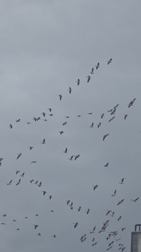
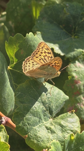
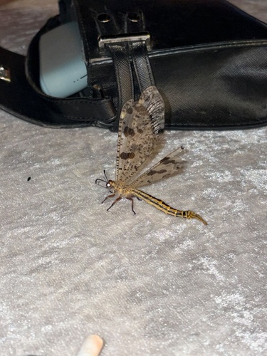
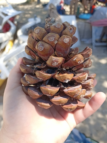
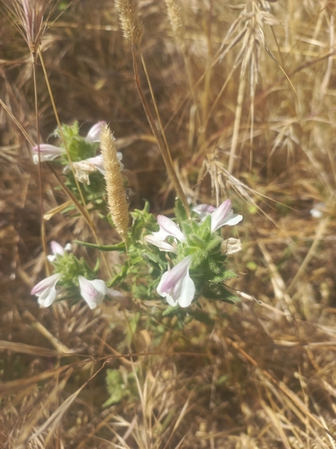
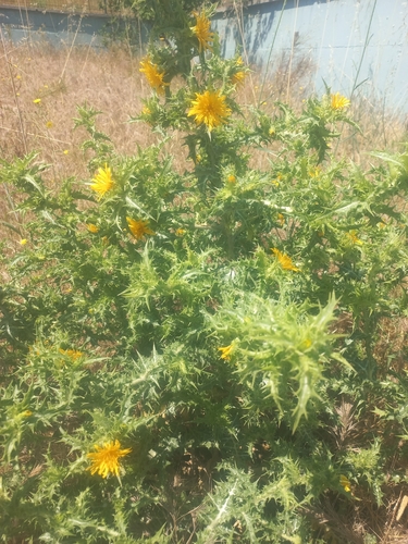


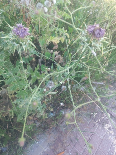
Research-grade observations from iNaturalist (within ~15 mi).
Events
Gallery
Sources
- • Wikipedia
- • iNaturalist
- • Open-Meteo / sunrise-sunset.org
- • Wikipedia Pageviews API
- • Open Library