Browse / Türkiye / Nevşehir / Nevşehir
Nevşehir
Nevşehircity

Nevşehir
Total population
290,895
Demographic figures from TurkStat. Overview below cites Wikipedia and may reference a different year.
City facts
Facts from Wikidata (CC0).
Overview
Nevşehir is a city in the Central Anatolia Region of Turkey. It is the seat of Nevşehir Province and Nevşehir District. Its population is 128,290 (2024). It is 290 km (180 mi) from the capital Ankara and lies within the historical region of Cappadocia. Nevşehir was declared a World Peace City by the United Nations.
Read more on WikipediaHistory & geography
History
The Hittites first founded the settlement of Nissa on the slopes of Mount Kahveci, located in the present-day settlement of Nar, in the valley of Kızılırmak (the ancient Halys). The settlement was later known as Soanda and Seandos. This town, along with the region, came under the rule of the Assyrian Empire around the 8th century BC, and was subsequently ruled by the Medes and then by the Persians during the reign of emperor Cyrus the Great in 546 BC. In 333 BC, Alexander the Great defeated the Persians and after his death, the surrounding area came under the rule of the dynasty of Ariarathes with Mazaka (present-day Kayseri) as its capital. The Cappadocian kingdom became a province- of the Roman empire in the reign of Emperor Tiberius. The so-called underground cities found around Nevşehir may originally have been built to escape persecution by the pagan Roman authorities although others believe they date back to Hittite times. Many of the churches, hewn in the rocks, date from these early years of Christianity. Even when Theodosius I made Christianity the official religion of the empire, the caves offered protection for the local people during raids by the Sassanid Persians circa AD 604 and by the Islamic Caliphate from AD 647 onwards. When Iconoclasm became state policy in the Byzantine empire, again the caves around Nevşehir became shelters for those escaping persecution. The castle on the hill in the middle of Nevşehir dates from the Byzantine period, when the region was on the frontline in the (holy) wars against the Islamic Caliphate. At the Battle of Manzikert (present-day Malazgirt) in AD 1071, the Byzantine emperor Romanos IV was defeated by the Seljuk Sultan Alp Arslan which led to the occupation of Anatolia by the Seljuks by 1074. Along with the rest of…
Excerpted from the corresponding Wikipedia article (CC BY-SA).
Geography
Coordinates & boundaries from the US Census TIGER/Line shapefiles.
Climate
Air quality
Walkability
Amenities nearby
Wildlife & biodiversity
Earthquake history
Photos
Sights & places nearby
Notable people from here


People born within ~10 km, from Wikidata (CC0). Click any name for their Wikipedia article.
Nearby places in Nevşehir
- Gülşehir9.6 mi away · pop. 21,771
- Avanos9.6 mi away · pop. 13,505
- Ürgüp10.6 mi away · pop. 35,352
- Acıgöl12.3 mi away · pop. 19,561
- Derinkuyu17.3 mi away · pop. 20,786
- Hacıbektaş23.5 mi away · pop. 5,100
- Kozaklı41.4 mi away · pop. 7,500
- Vauldalen1911.6 mi away
- Brekken1915.4 mi away
- Røros1921.7 mi away · pop. 3,897
- Glåmos1925.8 mi away
- Stugudalen1928.5 mi away
Geography & sun
Elevation, sunrise/sunset and daylight from Open-Meteo. Solar climatology from NASA POWER.
Nearby airports
Public attention
Pageview totals from the Wikimedia Pageviews API.
Books about Nevşehir
Search results from Open Library.
Recent natural events nearby
Ground air-quality sensors
Recently spotted species
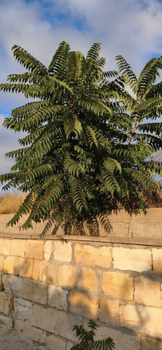
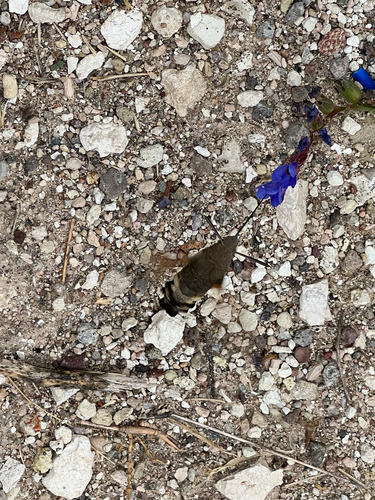
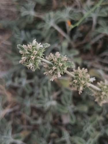
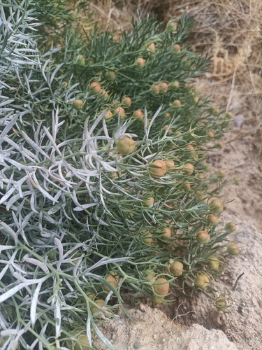
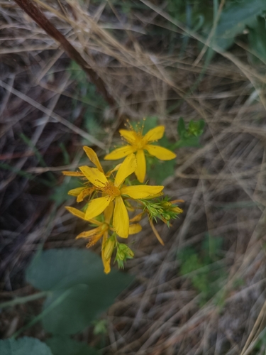
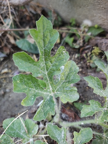
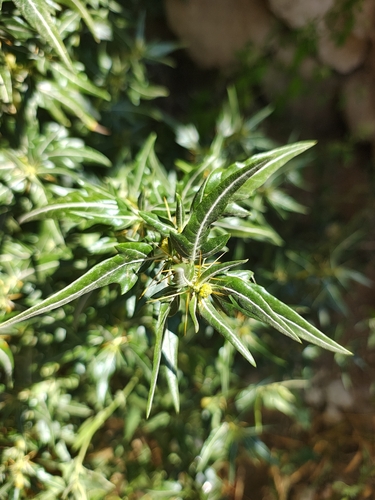
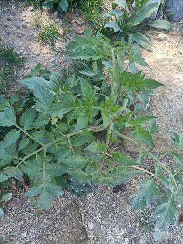
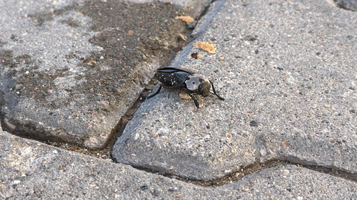
Research-grade observations from iNaturalist (within ~15 mi).
Events
Gallery
Sources
- • Wikipedia
- • Wikidata
- • iNaturalist
- • Open-Meteo / sunrise-sunset.org
- • Wikipedia Pageviews API
- • Open Library
- • Wikidata SPARQL (CC0) — population, area, elevation, inception, head of government, Commons image