Browse / Türkiye / Ordu / Ordu
Ordu
Orducity

Ordu
Total population
750,588
Demographic figures from TurkStat. Overview below cites Wikipedia and may reference a different year.
City facts
Facts from Wikidata (CC0).
Overview
Ordu or Altınordu, is a port city on the Black Sea coast of Turkey and the capital of Ordu Province. The city forms the urban part of the Altınordu district, with a population of 235,096 in 2023.
Read more on WikipediaHistory & geography
History
In the 8th century BC, Cotyora (Κοτύωρα) was founded by the Miletians as one of a string of colonies along the Black Sea coast. The town lay on a bay that shared its name, having been named after the town. Xenophon's Anabasis states that the city was a colony of Sinop, and that the Ten Thousand rested there for 45 days before embarking for home. Xenophon also mentioned that when the Ten Thousand reached Cotyora, ambassadors arrived from Sinope, expressing their fears. They explained that not only did the city belong to them, but the entire area as well. The ambassadors were worried that the army might lay waste to the area and thus talked with the soldiers. Diodorus Siculus also wrote that it was a colony founded by the Sinopians. Strabo writes that Cotyora sent people το establish the colony of Pharnacia, but his words do not rule out the possibility that other towns also contributed. Under Pharnaces I of Pontus, Cotyora was united in a synoikismos with Cerasus. Ptolemy, in his Geography, referred to it as Kyteoron or Cyteoron (Κυτέωρον), a corruption of the original name, and noted that it was located within the region of Polemonian Pontos, one of the administrative subdivisions of Pontus during the Roman period. Stephanus of Byzantium referred to the town as Cotyora. Suda write that it was also called Cytora or Kytora (Κύτωρα). The area came under the control of the Danishmends, then the Seljuk Turks in 1214 and 1228, and the Hacıemiroğulları Beylik in 1346. Afterwards, it passed to the dominion of the Ottomans in 1461 along with the Empire of Trebizond. The modern city was founded by the Ottomans as Bayramlı near Eskipazar as a military outpost west of Ordu. In 1869, the city's name was changed to Ordu and it was united with the districts of Bolaman, Perşembe,…
Excerpted from the corresponding Wikipedia article (CC BY-SA).
Geography
Coordinates & boundaries from the US Census TIGER/Line shapefiles.
Climate
Air quality
Walkability
Amenities nearby
Wildlife & biodiversity
Earthquake history
Photos
Sights & places nearby
Notable people from here


People born within ~10 km, from Wikidata (CC0). Click any name for their Wikipedia article.
Nearby places in Ordu
- Aybastı32.6 mi away · pop. 22,783
- Královec1242 mi away · pop. 176
- Boharyně1243 mi away · pop. 186
- Králíky1248.3 mi away · pop. 227
- Jivany1264.7 mi away · pop. 88
- Pocaia1325.1 mi away · pop. 279
- Pieve Santo Stefano1327.3 mi away · pop. 3,316
- Terontola Alta1329.1 mi away
- Cortoreggio1329.4 mi away
- Terontola1329.8 mi away · pop. 1,591
- Riccio1330 mi away
- Vallone1330.4 mi away
Geography & sun
Elevation, sunrise/sunset and daylight from Open-Meteo. Solar climatology from NASA POWER.
Nearby airports
Public attention
Pageview totals from the Wikimedia Pageviews API.
Books about Ordu

Search results from Open Library.
Recent natural events nearby
Ground air-quality sensors
Recently spotted species
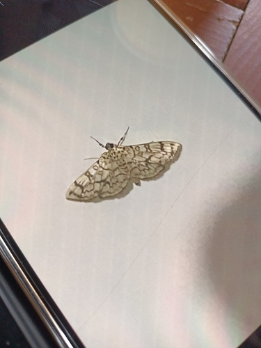
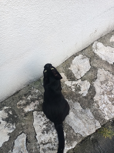
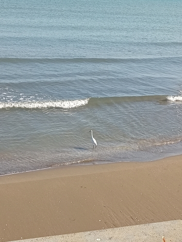
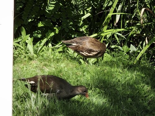
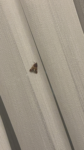
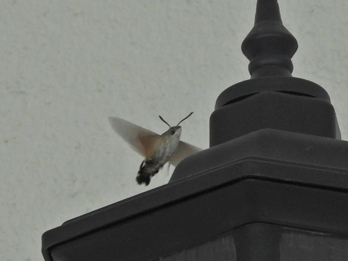
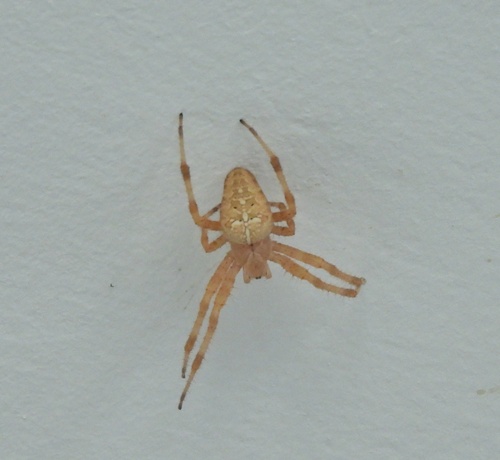
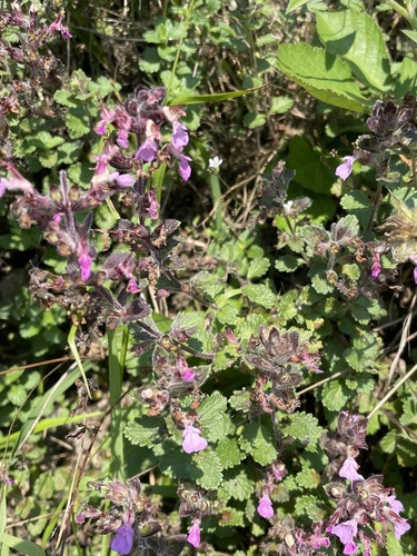
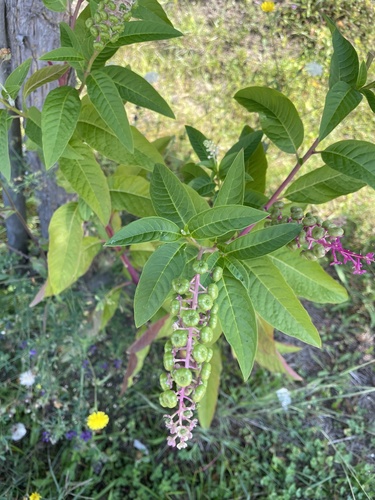
Research-grade observations from iNaturalist (within ~15 mi).
Events
Gallery
Sources
- • Wikipedia
- • Wikidata
- • iNaturalist
- • Open-Meteo / sunrise-sunset.org
- • Wikipedia Pageviews API
- • Open Library
- • Wikidata SPARQL (CC0) — population, area, elevation, inception, head of government, Commons image