Browse / Türkiye / Hatay / Payas
Payas
Hataytown

Payas
Total population
40,784
Demographic figures from TurkStat. Overview below cites Wikipedia and may reference a different year.
City facts
Overview
Payas is a municipality and district of Hatay Province, Turkey. Its area is 157 km2, and its population is 43,919 (2022). The district Payas was created in 2013 from part of the district of Dörtyol.
Read more on WikipediaHistory & geography
History
Payas and its vicinity have been inhabited throughout history. Ancient names of the town were Baias and Bayyas. During the Byzantine–Sasanian War of 602–628, Payas was one of the theaters of war between Heraclius and Khosrow II. In the second half of the 7th century, Payas became a part of the rising Arabic Empire. Seljuk Turks annexed Payas towards the end of the 11th century. The town was contested between the Turks and the Byzantines, but was captured by the armies of the First Crusade in 1097. It became part of the Armenian Kingdom of Cilicia soon thereafter. In 1268, the region was captured by the Mamluk Sultanate. Later, the town became a part of the Beylik of Dulkadir, and a part of the Ottoman Empire after the campaign of Selim I in 1517. In the 1567–68 term, Ottoman government Sublime Porte built a shipyard in Payas in preparation for the Cyprus campaign. After the conquest of Cyprus in 1571, the Grand vizier Sokollu Mehmed Pasha built a caravansarai, financing it privately. The two fortifications at Payas have been the subject of several surveys. Both are Ottoman-period constructions. In the late 18th century, Payas was specifically controlled by the Turkoman family of Kuchuk-Ali, who appeared in records from 1760 onwards, as an offshoot of the Özer dynasty according to the local poet Dadaloğlu. In the same century, Kurdish local chiefs controlled much of the hill country between Marash and Payas. Kurdish bandits frequently attacked caravans in the area, prompting the governor of Adana to appeal for help, to no avail. Following a period of short French occupation after the First World War, Payas became a part of Turkey unlike most other parts of the Hatay Province, where French occupation continued till 1938, when the rest of Hatay was annexed by Turkey.
Geography
Payas is a Mediterranean coastal town. Distance to Dörtyol at the north is , to İskenderun at the south is and to Antakya (the province center) is .
Excerpted from the corresponding Wikipedia article (CC BY-SA).
Geography
Coordinates & boundaries from the US Census TIGER/Line shapefiles.
Climate
Air quality
Walkability
Amenities nearby
Wildlife & biodiversity
Earthquake history
Photos
Sights & places nearby
Notable people from here
Nearby places in Hatay
- Dörtyol5.5 mi away · pop. 121,423
- Belen18.3 mi away · pop. 31,571
- Antakya38.3 mi away · pop. 365,402
- Hatay38.4 mi away · pop. 1,544,640
- Defne38.9 mi away · pop. 154,820
- Samandağ48.2 mi away · pop. 121,109
- Velký Pěčín1346.2 mi away · pop. 144
- Hostkovice1347.3 mi away · pop. 73
- Dolní Němčice1347.4 mi away · pop. 359
- Lipolec1348.5 mi away · pop. 203
- Volfířov1348.7 mi away · pop. 217
- Řečice1350 mi away · pop. 132
Geography & sun
Elevation, sunrise/sunset and daylight from Open-Meteo. Solar climatology from NASA POWER.
Nearby airports
Public attention
Pageview totals from the Wikimedia Pageviews API.
Books about Payas
Search results from Open Library.
Recent natural events nearby
Ground air-quality sensors
Recently spotted species
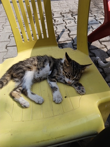
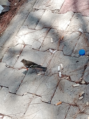
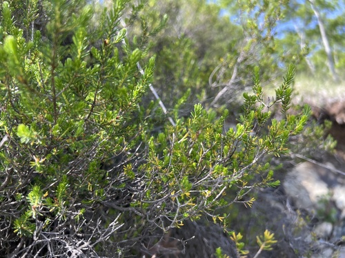
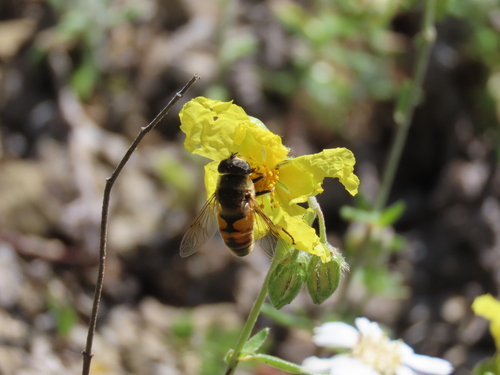
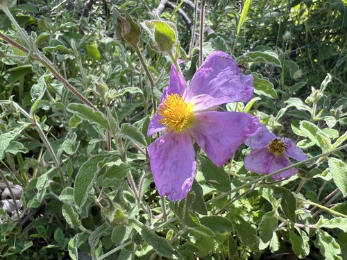
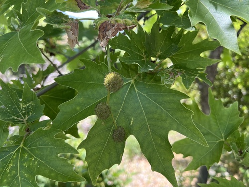
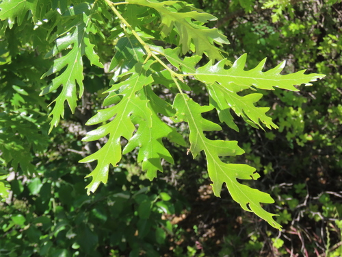
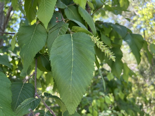
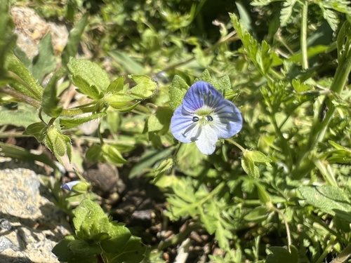
Research-grade observations from iNaturalist (within ~15 mi).
Events
Gallery
Sources
- • Wikipedia
- • iNaturalist
- • Open-Meteo / sunrise-sunset.org
- • Wikipedia Pageviews API
- • Open Library
- • Wikidata SPARQL (CC0) — population, area, elevation, inception, head of government, Commons image