Browse / Türkiye / Siirt / Pervari
Pervari
Siirttown

Featured view
Pervari
Total population
30,276
Elevation1380 m
Coordinates37.93°, 42.55°
Demographic figures from TurkStat. Overview below cites Wikipedia and may reference a different year.
Loading additional data from public sources…0 / 11
CensusWikipediaWeatherPlacesPeopleEnvironmentHealth & SchoolsRelatedGeography & CultureLive MonitoringEvents & Gallery
0% completeCity facts
Elevation
1380 m
Facts from Wikidata (CC0).
Overview
Pervari is a town and seat of the Pervari District of Siirt Province in Turkey. It is populated by Kurds of the Adiyan and Şakiran tribes and had a population of 6,261 in 2021.
Read more on WikipediaHistory & geography
Geography
Latitude
37.9325
Longitude
42.5480
Water area
—
Coordinates & boundaries from the US Census TIGER/Line shapefiles.
Climate
Air quality
Walkability
Amenities nearby
Wildlife & biodiversity
Earthquake history
Photos
Sights & places nearby
Notable people from here
Nearby places in Siirt
- Eruh23.6 mi away · pop. 18,101
- Tillo29.2 mi away · pop. 4,272
- Şirvan29.6 mi away · pop. 21,321
- Siirt33 mi away · pop. 331,980
- Baykan44.4 mi away · pop. 24,594
- Kurtalan46.2 mi away · pop. 60,592
- Tin El Koum2105.9 mi away
- Arrikine2106.5 mi away
- Djanet2145.6 mi away · pop. 15,000
- Azelouaz2145.7 mi away
- El Mihan2145.7 mi away
- In Abarbar2146.1 mi away
Geography & sun
Elevation
4,514 ft (1376 m)
Avg solar (kWh/m²/day)
4.94
Annual solar (kWh/m²)
1,803
Elevation, sunrise/sunset and daylight from Open-Meteo. Solar climatology from NASA POWER.
Nearby airports
Public attention
Wikipedia views (last 30 days)
85
Avg daily Wikipedia views
3
Attention level
Obscure
Pageview totals from the Wikimedia Pageviews API.
Books about Pervari
Search results from Open Library.
Recent natural events nearby
Ground air-quality sensors
Recently spotted species
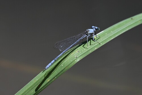
Powdered Featherleg
Platycnemis kervillei
Seen 2026-08-20
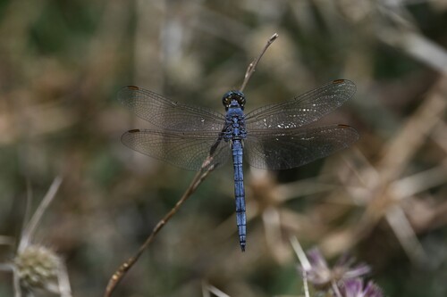
Keeled Skimmer
Orthetrum coerulescens
Seen 2026-08-20
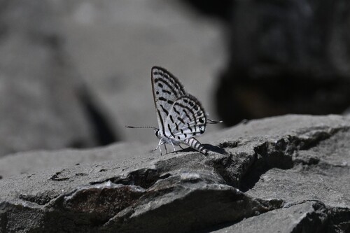
Little Tiger Blue
Tarucus balkanica
Seen 2026-08-20
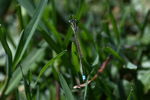
Scarce Blue-tailed Damselfly
Ischnura pumilio
Seen 2026-08-20
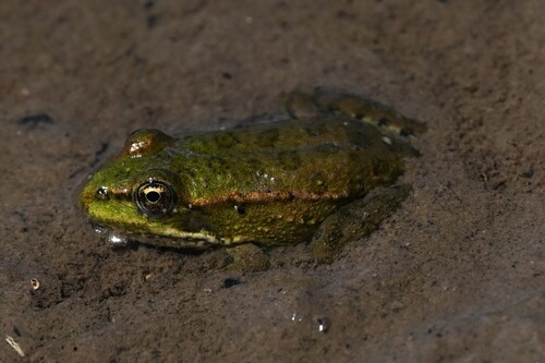
Marsh Frog
Pelophylax ridibundus
Seen 2026-08-20
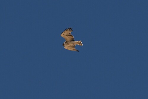
Short-toed Snake-Eagle
Circaetus gallicus
Seen 2026-08-20
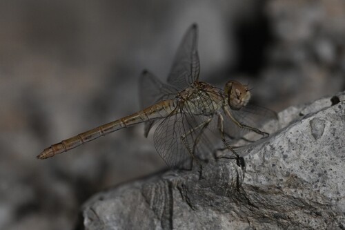
Sandy Darter
Sympetrum arenicolor
Seen 2026-08-20
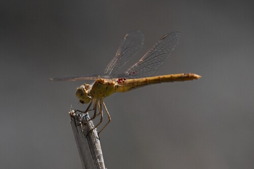
Southern Darter
Sympetrum meridionale
Seen 2026-08-20
Research-grade observations from iNaturalist (within ~15 mi).
Events
Gallery
Sources
- • Wikipedia
- • Wikidata
- • iNaturalist
- • Open-Elevation
- • Open-Meteo / sunrise-sunset.org
- • Wikipedia Pageviews API
- • Open Library
- • Wikidata SPARQL (CC0) — population, area, elevation, inception, head of government, Commons image