Browse / Türkiye / Hatay / Reyhanlı
Reyhanlı
Hataytown

Reyhanlı
Total population
91,974
Demographic figures from TurkStat. Overview below cites Wikipedia and may reference a different year.
City facts
Facts from Wikidata (CC0).
Overview
Reyhanlı is a municipality and district of Hatay Province, Turkey. Its area is 367 km2, and its population is 108,092 (2022). It is near the country's border with Syria.
Read more on WikipediaHistory & geography
History
Formerly known as İrtah (Artah) and Ar-Rayhaniya, Its southernmost environ, Yenişehir, is thought to be near the ancient village of Imma (or Immae), involved in the Battle of Immae in 272 and probably also with the so-called Battle of Antioch of 218. The 2013 Reyhanlı car bombings were a terrorist attack that involved the explosion of two car bombs in Reyhanlı on 11 May 2013. 51 people were killed, and 140 more were injured in the attack. The car bombs were left outside Reyhanlı's town hall and post office. The first exploded at around 13:45 local time, (10:45 UTC) At that time, the attack was the deadliest single act of terrorism in the history of modern Turkey, only to be surpassed by the 103 victims of the 2015 Ankara bombings. On 5 July 2019, another car bombing in the town killed 3 people.
Geography
The climate is typical of the Mediterranean region, and Reyhanlı is an agricultural district watered from Reyhanlı reservoir, growing cotton, wheat and other grains and raising cattle, sheep and goats. The town lies on the main road between İskenderun and Aleppo in Syria. There is a border crossing point to Bab al-Hawa in Syria at Cilvegözü, south east of Reyhanlı town, which is the busiest land border post between Turkey and Syria.
Excerpted from the corresponding Wikipedia article (CC BY-SA).
Geography
Coordinates & boundaries from the US Census TIGER/Line shapefiles.
Climate
Air quality
Walkability
Amenities nearby
Wildlife & biodiversity
Earthquake history
Photos
Sights & places nearby
Notable people from here

People born within ~10 km, from Wikidata (CC0). Click any name for their Wikipedia article.
Nearby places in Hatay
- Antakya22.9 mi away · pop. 365,402
- Belen25.8 mi away · pop. 31,571
- Dörtyol43.5 mi away · pop. 121,423
- Velký Pěčín1384.1 mi away · pop. 144
- Hostkovice1385.1 mi away · pop. 73
- Dolní Němčice1385.2 mi away · pop. 359
- Lipolec1386.3 mi away · pop. 203
- Volfířov1386.5 mi away · pop. 217
- Řečice1387.8 mi away · pop. 132
- Markvarec1387.9 mi away · pop. 128
- Sumrakov1390.9 mi away · pop. 109
- Klášter I1391.7 mi away · pop. 49
Geography & sun
Elevation, sunrise/sunset and daylight from Open-Meteo. Solar climatology from NASA POWER.
Nearby airports
Public attention
Pageview totals from the Wikimedia Pageviews API.
Books about Reyhanlı
Search results from Open Library.
Recent natural events nearby
Ground air-quality sensors
Recently spotted species
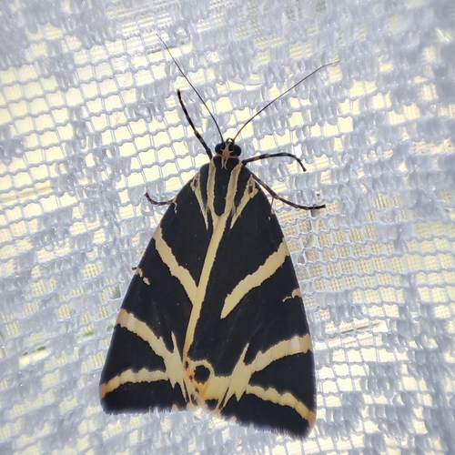
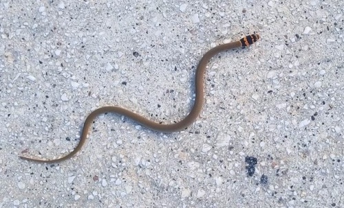

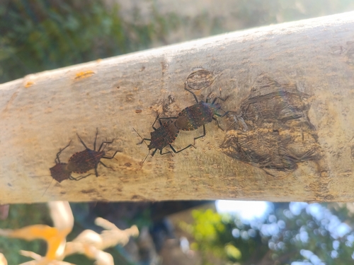
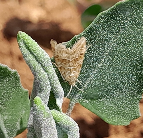
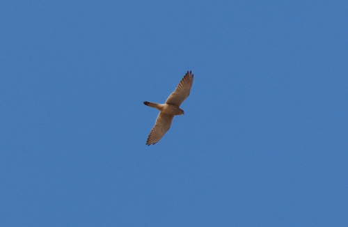
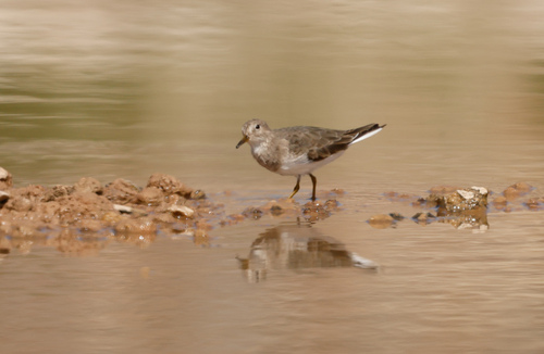
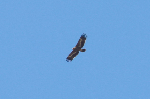
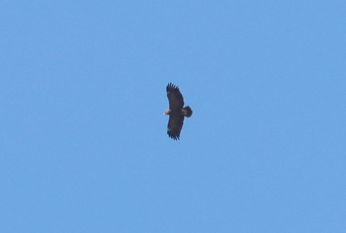
Research-grade observations from iNaturalist (within ~15 mi).
Events
Gallery
Sources
- • Wikipedia
- • Wikidata
- • iNaturalist
- • Open-Meteo / sunrise-sunset.org
- • Wikipedia Pageviews API
- • Open Library
- • Wikidata SPARQL (CC0) — population, area, elevation, inception, head of government, Commons image