Browse / Türkiye / Manisa / Salihli
Salihli
Manisatown

Salihli
Total population
164,710
Air quality index
Demographic figures from TurkStat. Overview below cites Wikipedia and may reference a different year.
City facts
Sister cities
Facts from Wikidata (CC0).
Overview
Salihli is a municipality and district of Manisa Province, Turkey. Its area is 1,359 km2, and its population is 165,182 (2023). The ancient Lydian capitals of Sardes and Daldis are located within Salihli.
Read more on WikipediaHistory & geography
History
Salihli is a city with a long history. Fossilised footprints discovered near the villages of Sindel and Çarıklar, Manisa are estimated to be between 10,000 and 26,000 years old, and are the first traces of prehistory in the region. However, the region came to foremost importance with the establishment of the city of Sardes, which is located west of Salihli center and where the most remarkable historical artifacts and remains of the region are found. Sardes was the capital city of Lydia until 547 B.C., at which date it was captured by the Persian Empire and governed by satraps until 334 B.C.. After the Persians, the region was governed successively by the Macedonian Empire, the Kingdom of the Attalids, Roman Empire and Byzantine Empire. In the beginning of the 14th century, Turks under the Beylik of Saruhan captured the city and the region and ruled it for a century from their base in nearby Manisa. In 1400 the region passed over to the Ottoman Empire under which Manisa preserved its position as a primary regional center. In the beginning of the Ottoman rule, Salihli was a village of the kaza of Sart, depending the province seat of Aydın, situated more to the south, and was called (meaning 'the children of Salih' in English). In the 19th century, with the construction of İzmir-Uşak-Afyon railway, Salihli demonstrated a much more rapid pace of progress compared to Sart and gained township status in 1872, when it became a kaza of the Sanjak of Saruhan, centred around Manisa. From 1867 until 1922, Salihli was part of the Aidin Vilayet of the Ottoman Empire. During the Greco-Turkish War, the city was taken by Greek forces on 24 July 1920, then re-taken by the Turkish army on 5 September 1922. According to a number of sources, the retreating Greek army carried out a…
Geography
The city of Salihli, which is also the seat of the district, is located on the İzmir-Ankara (E-96) highway, and it's parallel railway connections. The urban centre is situated on the slopes of the Bozdağ mountain chain along the southern alluvial plains of the Gediz River. To the north and northeast of the plain extends two other mountain ranges, Mount Dibek (highest altitude 1120 m) and Mount Üşümüş (highest altitude 1085 m). The town lies at an altitude of 125 meters from sea level. Its advantageous location, smooth and busy intercity connections and the fertile soil allowed Salihli to develop extremely well in the recent past. Four rivers, namely Alaşehir, Gümüş, Kurşunlu and Sart cross the district area to join the River Gediz, which flows westward. The climate type is Mediterranean climate. To the north of the city is Demirköprü Dam, used for irrigation, prevention of overflows, energy production and fishing, and which was built between 1954 and 1960. The population in the 2000 census were 149,150 for the whole district and 83,137 for the urban center of Salihli. (The urban population is 165,182 as of 2023.) The district area is surrounded by the neighboring districts of Ahmetli to the west, Gölmarmara to the northwest, Gördes and Köprübaşı to the north, Demirci to the northeast, Kula to the east, Alaşehir to the southeast and Ödemiş to the south. The distances from Salihli to the seat of neighboring provinces are: {| class="wikitable" |- | in km | Manisa | İzmir | Balıkesir | Uşak | Denizli |- | Salihli | 72 | 96 | 144 | 120 | 110 |} The distances from Salihli to other cities of Manisa are: {| class="wikitable" |- | in km | Alaşehir | Ahmetli | Akhisar | Demirci | Gölmarmara | Gördes | Kula | Köprübaşı | Saruhanlı | Sarıgöl | Selendi | Turgutlu |- |…
Excerpted from the corresponding Wikipedia article (CC BY-SA).
Geography
Coordinates & boundaries from the US Census TIGER/Line shapefiles.
Climate
10-year averages from ERA5 reanalysis (Open-Meteo).
Air quality
Current readings from Open-Meteo Air Quality API (Copernicus CAMS European reanalysis).
Walkability
Amenities nearby
Wildlife & biodiversity
Most-observed species
- House SparrowPasser domesticus (Linnaeus, 1758) · Aves137
- Eurasian Collared-DoveStreptopelia decaocto (Frivaldszky, 1838) · Aves123
- Eurasian JayGarrulus glandarius (Linnaeus, 1758) · Aves118
- Eurasian BlackbirdTurdus merula Linnaeus, 1758 · Aves116
- Crested LarkGalerida cristata (Linnaeus, 1758) · Aves115
- European GoldfinchCarduelis carduelis (Linnaeus, 1758) · Aves115
- Gray/Purple HeronArdea cinerea Linnaeus, 1758 · Aves110
- Eurasian MagpiePica pica (Linnaeus, 1758) · Aves108
Citizen-science & research observations from the Global Biodiversity Information Facility (GBIF).
Earthquake history
Photos
Sights & places nearby
Notable people from here


People born within ~10 km, from Wikidata (CC0). Click any name for their Wikipedia article.
Nearby places in Manisa
- Monticelli932.8 mi away · pop. 842
- San Giovanni934.2 mi away · pop. 898
- Crocetta943.9 mi away · pop. 166
- San Nicolò949.1 mi away · pop. 646
- San Martino in Soverzano955.4 mi away
- San Giovanni in Triario955.8 mi away
- Monte San Giovanni967.3 mi away · pop. 1,382
- San Pietro in Elda981.1 mi away
- Selva984.3 mi away
- Motta985.3 mi away
- San Martino989.2 mi away
- Morano989.7 mi away
Geography & sun
Elevation, sunrise/sunset and daylight from Open-Meteo. Solar climatology from NASA POWER.
Nearby airports
Public attention
Pageview totals from the Wikimedia Pageviews API.
Books about Salihli

Search results from Open Library.
Recent natural events nearby
Ground air-quality sensors
Recently spotted species
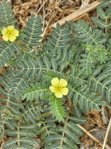
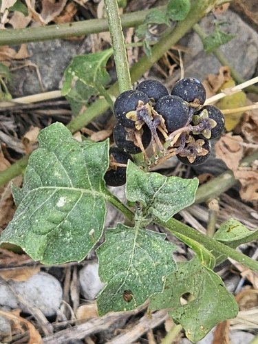
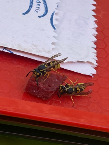
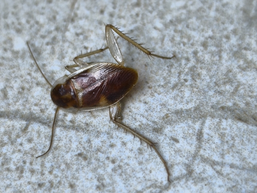
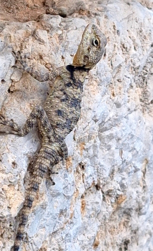
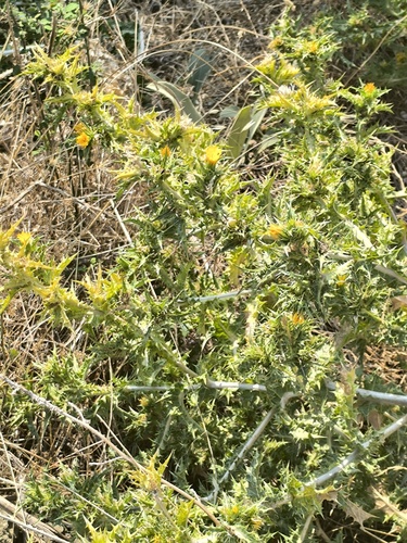
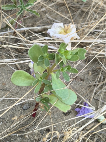
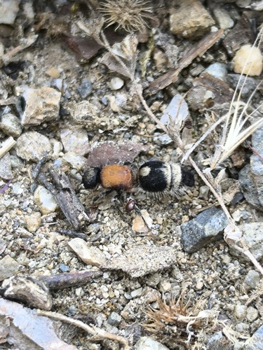
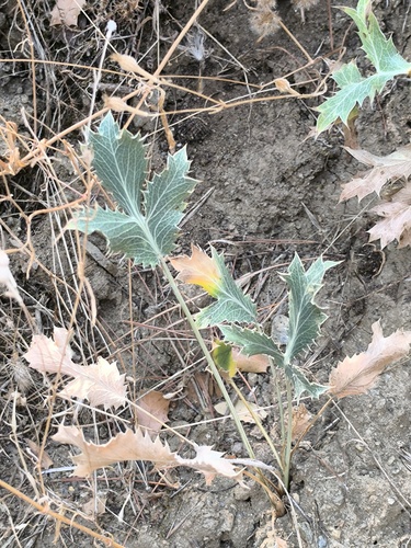
Research-grade observations from iNaturalist (within ~15 mi).
Events
Gallery
Geotagged photos within ~6 miles of Salihli, from Wikimedia Commons contributors.
 0.3 mi
 0.5 mi
 1.2 mi
 3.4 mi
 4.3 mi
 4.4 mi
 5.3 mi
 5.3 mi
 5.3 mi
 5.3 mi
 5.3 mi
 5.3 mi
 5.3 mi
 5.4 mi
 5.4 mi
 5.4 mi
 5.4 mi
 5.4 mi
 5.4 mi
 5.4 mi
 5.4 mi
 5.4 mi
.jpg) 5.5 mi
5.5 mi.jpg) 5.5 mi
5.5 miPhotos via Wikimedia Commons — see each image page for license & attribution.
Sources
- • Wikipedia
- • Open-Meteo (ERA5 reanalysis)
- • Wikimedia Commons
- • Wikidata
- • Open-Meteo Air Quality (CAMS)
- • GBIF (Global Biodiversity Information Facility)
- • iNaturalist
- • Open-Elevation
- • Open-Meteo / sunrise-sunset.org
- • Wikipedia Pageviews API
- • Open Library
- • Wikidata SPARQL (CC0) — population, area, elevation, inception, head of government, Commons image