Browse / Türkiye / Eskişehir / Sarıcakaya
Sarıcakaya
Eskişehirtown

Featured view
Sarıcakaya
Total population
4,790
Coordinates40.04°, 30.62°
Demographic figures from TurkStat. Overview below cites Wikipedia and may reference a different year.
Loading additional data from public sources…0 / 11
CensusWikipediaWeatherPlacesPeopleEnvironmentHealth & SchoolsRelatedGeography & CultureLive MonitoringEvents & Gallery
0% completeCity facts
Overview
Sarıcakaya is a municipality and district of Eskişehir Province, Turkey.
History & geography
Geography
Latitude
40.0389
Longitude
30.6189
Water area
—
Coordinates & boundaries from the US Census TIGER/Line shapefiles.
Climate
Air quality
Walkability
Amenities nearby
Wildlife & biodiversity
Observations (last 5 yrs, 10 mi)
742
Distinct species (top 10)
10
Most-observed species
- Cinereous VultureAegypius monachus (Linnaeus, 1766) · Aves26
- Common RavenCorvus corax Linnaeus, 1758 · Aves21
- Eurasian KestrelFalco tinnunculus Linnaeus, 1758 · Aves18
- Common BuzzardButeo buteo (Linnaeus, 1758) · Aves15
- Long-legged BuzzardButeo rufinus (Cretzschmar, 1829) · Aves15
- Northern WheatearOenanthe oenanthe (Linnaeus, 1758) · Aves15
- Eurasian SparrowhawkAccipiter nisus (Linnaeus, 1758) · Aves14
- Bearded VultureGypaetus barbatus (Linnaeus, 1758) · Aves14
Citizen-science & research observations from the Global Biodiversity Information Facility (GBIF).
Earthquake history
Quakes ≥ 2.5 (25 yrs, 62 mi)
58
Largest magnitude
6.1
Largest event
2022-11-23
Most recent
- M 4.2 — 2022-12-0314 km E of Hendek, Turkey
- M 4.5 — 2022-11-2712 km W of Düzce, Turkey
- M 4.4 — 2022-11-2315 km E of Hendek, Turkey
- M 6.1 — 2022-11-2315 km W of Düzce, Turkey
- M 4.8 — 2021-11-1714 km W of Düzce, Turkey
- M 4.5 — 2019-06-023 km ESE of Hendek, Turkey
Events from the USGS Earthquake Catalog (global) (FDSN Event Web Service).
Photos
Sights & places nearby
Notable people from here
Geography & sun
Nearby airports
Public attention
Books about this place
Recent natural events nearby
Ground air-quality sensors
Recently spotted species
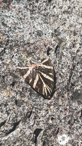
Jersey Tiger
Euplagia quadripunctaria
Seen 2026-09-13
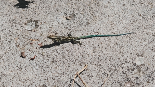
Anatolian Rock Lizard
Anatololacerta anatolica
Seen 2026-09-13
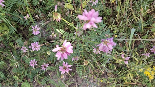
purple crownvetch
Securigera varia
Seen 2026-06-26
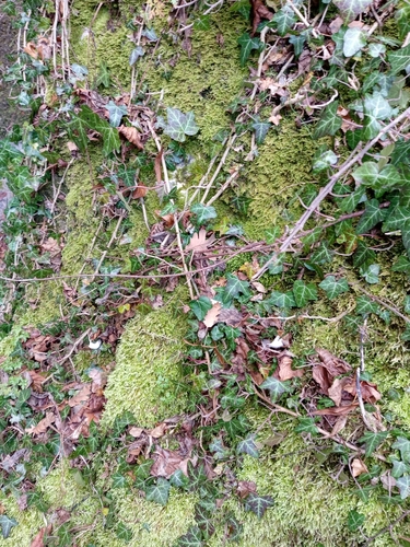
common ivy
Hedera helix
Seen 2025-12-20
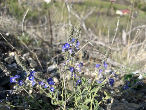
Veronica pectinata
Veronica pectinata
Seen 2025-04-19
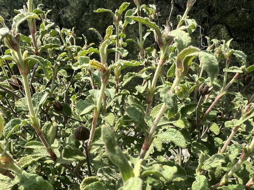
Hoary Rock-rose
Cistus creticus
Seen 2025-04-19
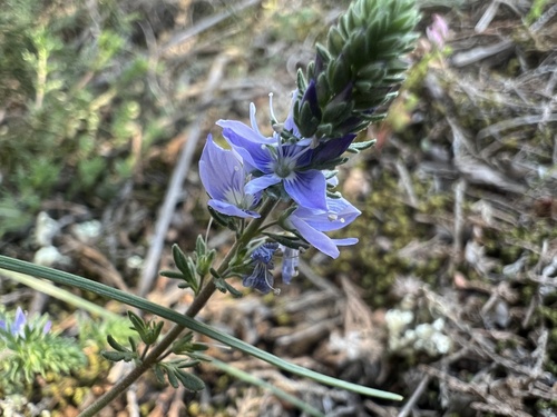
Narrow-Leaved Speedwell
Veronica multifida
Seen 2025-04-19
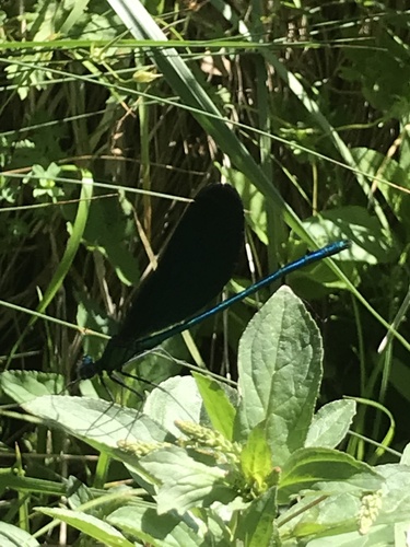
Beautiful Demoiselle
Calopteryx virgo
Seen 2024-06-20
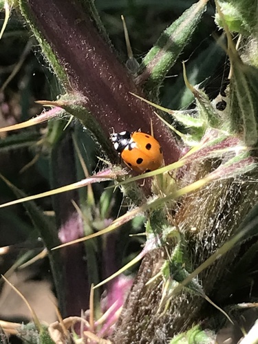
Seven-spotted Lady Beetle
Coccinella septempunctata
Seen 2024-06-20
Research-grade observations from iNaturalist (within ~15 mi).
Events
Gallery
Sources
- • Wikipedia
- • USGS Earthquake Catalog (global feed)
- • GBIF (Global Biodiversity Information Facility)
- • iNaturalist
- • Wikidata SPARQL (CC0) — population, area, elevation, inception, head of government, Commons image