Browse / Türkiye / Manisa / Selendi
Selendi
Manisatown

Featured view
Selendi
Total population
19,505
Coordinates38.74°, 28.87°
Demographic figures from TurkStat. Overview below cites Wikipedia and may reference a different year.
Loading additional data from public sources…0 / 11
CensusWikipediaWeatherPlacesPeopleEnvironmentHealth & SchoolsRelatedGeography & CultureLive MonitoringEvents & Gallery
0% completeCity facts
Overview
Selendi is a municipality and district of Manisa Province, Turkey. Its area is 726 km2, and its population is 19,203 (2022). The town lies at an elevation of 431 m (1,414 ft).
Read more on WikipediaHistory & geography
Geography
Latitude
38.7434
Longitude
28.8702
Water area
—
Coordinates & boundaries from the US Census TIGER/Line shapefiles.
Climate
Air quality
Walkability
Amenities nearby
Wildlife & biodiversity
Earthquake history
Photos
Sights & places nearby
Notable people from here
Nearby places in Manisa
- Monticelli956.5 mi away · pop. 842
- San Giovanni958.4 mi away · pop. 898
- Crocetta968.9 mi away · pop. 166
- San Nicolò973.6 mi away · pop. 646
- San Martino in Soverzano980.2 mi away
- San Giovanni in Triario980.7 mi away
- Monte San Giovanni992.8 mi away · pop. 1,382
- San Pietro in Elda1005.8 mi away
- Motta1009.9 mi away
- Selva1010.1 mi away
- San Martino1015 mi away
- Morano1015.4 mi away
Geography & sun
Avg solar (kWh/m²/day)
4.82
Annual solar (kWh/m²)
1,760
Elevation, sunrise/sunset and daylight from Open-Meteo. Solar climatology from NASA POWER.
Nearby airports
Public attention
Wikipedia views (last 30 days)
76
Avg daily Wikipedia views
3
Attention level
Obscure
Pageview totals from the Wikimedia Pageviews API.
Books about this place
Recent natural events nearby
Ground air-quality sensors
Recently spotted species
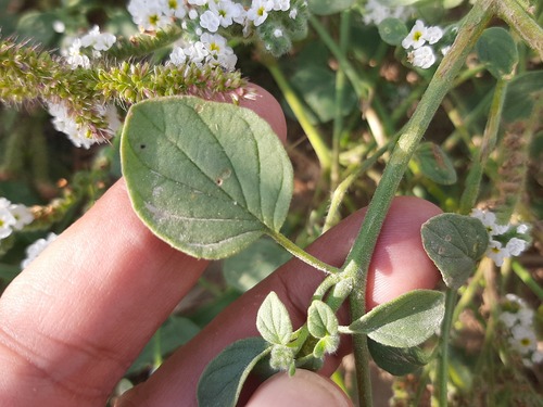
Fragrant Heliotrope
Heliotropium suaveolens
Seen 2025-10-02

Sibthorp's Pickling Herb
Echinophora sibthorpiana
Seen 2025-10-02
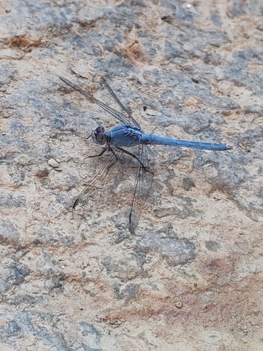
Little skimmer
Orthetrum taeniolatum
Seen 2025-08-24
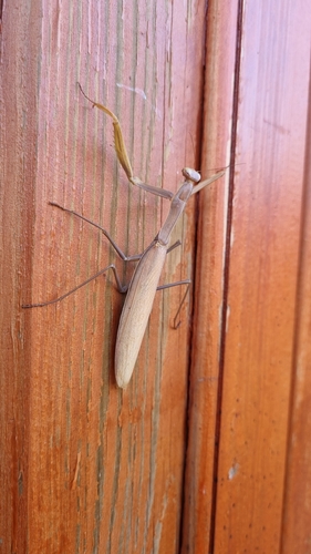
European Mantis
Mantis religiosa
Seen 2023-12-02
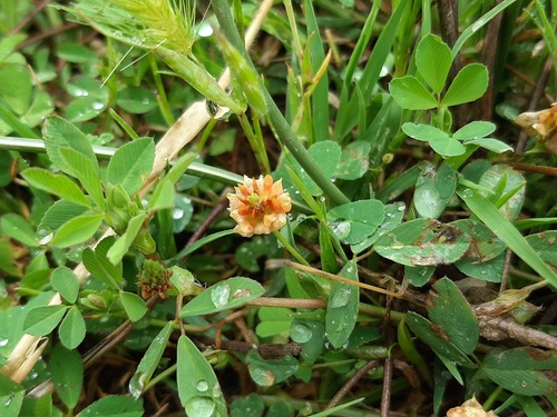
hop trefoil
Trifolium campestre
Seen 2023-05-12
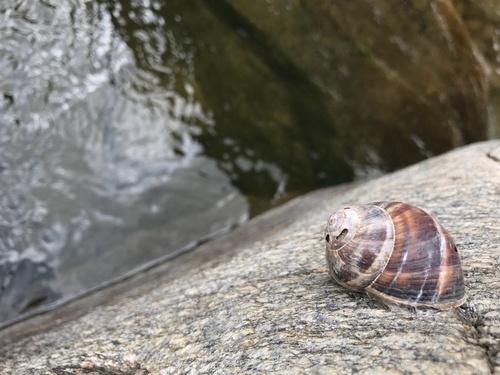
Turkish Snail
Helix lucorum
Seen 2018-02-21
Research-grade observations from iNaturalist (within ~15 mi).
Events
Gallery
Sources
- • Wikipedia
- • iNaturalist
- • Open-Meteo / sunrise-sunset.org
- • Wikipedia Pageviews API
- • Wikidata SPARQL (CC0) — population, area, elevation, inception, head of government, Commons image