Browse / Türkiye / Tokat / Sulusaray
Sulusaray
Tokattown
Total population
7,401
Demographic figures from TurkStat. Overview below cites Wikipedia and may reference a different year.
City facts
Facts from Wikidata (CC0).
Overview
Sulusaray or Çiftlik, in Antiquity and the early Middle Ages known as Sebastopolis or Heracleopolis (Ἡρακλειούπολις), is a town in Tokat Province in the Black Sea region of Turkey. It is the seat of Sulusaray District. Its population is 4,383 (2022). Sulusaray is about 68 km from the center of Tokat, and about 30 km from Artova town. The site is situated on a plain surrounded by mountains and the Çekerek river runs near it. The mayor is Necmettin Coruk (AKP).
Read more on WikipediaHistory & geography
History
The date of foundation of this ancient city is still unknown, findings from the site indicate that Sebastopolis has been continuously inhabited from 3,000 BC to the present day. Some sources say that it was first established in the first century during the reign of Roman emperor Trajan, and that the city was separated from the districts of Pontus Galaticus/Polemoniacus and was included in the province of Cappadocia as recorded on an epitaph on a monument for Arrian, the Governor of the region of Cappadocia. Sebastopolis was at the crossroads of east to west, and south/ central to north routes which made it a wealthy centre of trade during the Roman and Byzantine periods. It was considered to be one of the five largest cities in the Black Sea region. It had the authority to mint its own coins but gradually lost its importance after wars and natural disasters. Trade routes were later diverted and further reduced its importance. In Ptolemy's time, it was a town in Pontus Cappadocicus (Ptol. v. 6. § 7), which, according to the Antonine Itinerary (p. 205), was situated on a route leading from Tavium to Sebastia (modern Sivas), and was connected by a road with Caesarea (p. 214). Pliny (vi. 3) places it in the district of Colopene, and agrees with other authorities in describing it as a small town. (Hierocl. p. 703) Architectural pieces recovered during the digs organized by the Directorate of the Tokat Museum in 1987 showed that the city was an important settlement during the Hellenistic, Roman and Byzantine periods. The artefacts recovered at the Comana Pontica (Old Tokat) are very similar to those recovered from the city of Sebastopolis, probably these two ancient cities had a close relationship in the past. The ancient city was surrounded by a city…
Excerpted from the corresponding Wikipedia article (CC BY-SA).
Geography
Coordinates & boundaries from the US Census TIGER/Line shapefiles.
Climate
Air quality
Walkability
Amenities nearby
Wildlife & biodiversity
Most-observed species
- White StorkCiconia ciconia (Linnaeus, 1758) · Aves19
- Long-legged BuzzardButeo rufinus (Cretzschmar, 1829) · Aves10
- Northern LapwingVanellus vanellus (Linnaeus, 1758) · Aves7
- Little GrebeTachybaptus ruficollis (Pallas, 1764) · Aves7
- European GoldfinchCarduelis carduelis (Linnaeus, 1758) · Aves7
- Eurasian CootFulica atra Linnaeus, 1758 · Aves6
- Ruddy ShelduckTadorna ferruginea (Pallas, 1764) · Aves6
- House SparrowPasser domesticus (Linnaeus, 1758) · Aves6
Citizen-science & research observations from the Global Biodiversity Information Facility (GBIF).
Earthquake history
Most recent
- M 5.3 — 2026-03-1315 km WNW of Niksar, Turkey
- M 4.4 — 2025-08-2012 km NNW of Sulusaray, Turkey
- M 4.8 — 2025-04-1319 km WNW of Taşova, Turkey
- M 4.1 — 2024-04-2117 km NNW of Yeşilyurt, Turkey
- M 4.1 — 2024-04-187 km NW of Sulusaray, Turkey
- M 4.2 — 2024-04-184 km NNW of Sulusaray, Turkey
Events from the USGS Earthquake Catalog (global) (FDSN Event Web Service).
Photos
Sights & places nearby
Notable people from here
People born within ~10 km, from Wikidata (CC0). Click any name for their Wikipedia article.
Geography & sun
Elevation, sunrise/sunset and daylight from Open-Meteo. Solar climatology from NASA POWER.
Nearby airports
Public attention
Pageview totals from the Wikimedia Pageviews API.
Books about Sulusaray
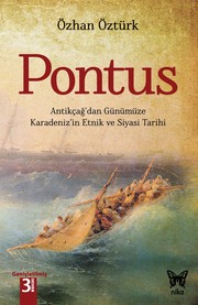
Search results from Open Library.
Recent natural events nearby
Ground air-quality sensors
Recently spotted species
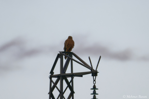
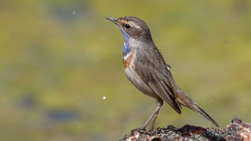
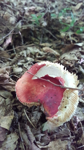
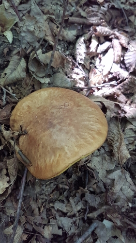
Research-grade observations from iNaturalist (within ~15 mi).
Events
Gallery
Sources
- • Wikipedia
- • Wikidata
- • USGS Earthquake Catalog (global feed)
- • GBIF (Global Biodiversity Information Facility)
- • iNaturalist
- • Open-Meteo / sunrise-sunset.org
- • Wikipedia Pageviews API
- • Open Library
- • Wikidata SPARQL (CC0) — population, area, elevation, inception, head of government, Commons image