Browse / Türkiye / Sakarya / Taraklı
Taraklı
Sakaryatown

Taraklı
Total population
6,861
Founded
1987
Demographic figures from TurkStat. Overview below cites Wikipedia and may reference a different year.
City facts
Facts from Wikidata (CC0).
Overview
Taraklı, formerly known as Dablar is a municipality and district of Sakarya Province, Turkey. Its area is 292 km2, and its population is 6,894 (2022). It is a historic town, surrounded by forest and located approximately midway between Istanbul and Ankara. The district governor is Burak Serttaş, and the mayor is İbrahim Pilavcı (MHP).
Read more on WikipediaHistory & geography
Geography
Coordinates & boundaries from the US Census TIGER/Line shapefiles.
Climate
Air quality
Walkability
Amenities nearby
Wildlife & biodiversity
Most-observed species
- Common ChaffinchFringilla coelebs Linnaeus, 1758 · Aves11
- Common RavenCorvus corax Linnaeus, 1758 · Aves9
- Hooded CrowCorvus cornix Linnaeus, 1758 · Aves8
- White WagtailMotacilla alba Linnaeus, 1758 · Aves8
- Eurasian BlackbirdTurdus merula Linnaeus, 1758 · Aves6
- European GreenfinchChloris chloris (Linnaeus, 1758) · Aves6
- Eurasian LinnetLinaria cannabina (Linnaeus, 1758) · Aves6
- Cinereous VultureAegypius monachus (Linnaeus, 1766) · Aves5
Citizen-science & research observations from the Global Biodiversity Information Facility (GBIF).
Earthquake history
Most recent
- M 4.8 — 2023-03-168 km W of Bolu, Turkey
- M 4.2 — 2022-12-0314 km E of Hendek, Turkey
- M 4.5 — 2022-11-2712 km W of Düzce, Turkey
- M 4.4 — 2022-11-2315 km E of Hendek, Turkey
- M 6.1 — 2022-11-2315 km W of Düzce, Turkey
- M 4 — 2022-07-209 km E of Düzce, Turkey
Events from the USGS Earthquake Catalog (global) (FDSN Event Web Service).
Photos
Sights & places nearby
Notable people from here
People born within ~10 km, from Wikidata (CC0). Click any name for their Wikipedia article.
Nearby places in Sakarya
- Geyve13.2 mi away · pop. 50,332
- Karapürçek17.1 mi away · pop. 13,181
- Pamukova18.6 mi away · pop. 30,028
- Akyazı20.9 mi away · pop. 89,301
- Arifiye23 mi away · pop. 47,851
- Sapanca23.6 mi away · pop. 46,847
- Erenler25.2 mi away · pop. 91,602
- Serdivan26 mi away · pop. 166,321
- Sakarya26.4 mi away · pop. 1,110,735
- Adapazarı26.6 mi away · pop. 280,214
- Hendek30.6 mi away · pop. 88,105
- Söğütlü35.1 mi away · pop. 14,303
Geography & sun
Elevation, sunrise/sunset and daylight from Open-Meteo. Solar climatology from NASA POWER.
Nearby airports
Public attention
Pageview totals from the Wikimedia Pageviews API.
Books about Taraklı
Search results from Open Library.
Recent natural events nearby
Ground air-quality sensors
Recently spotted species
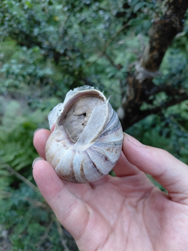
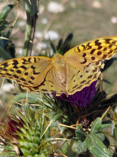
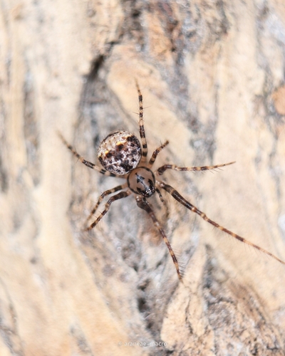
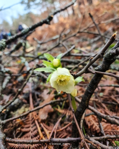
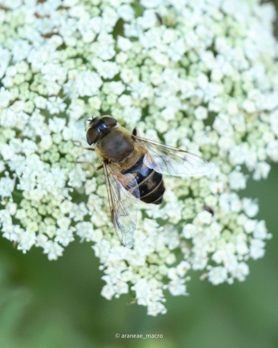
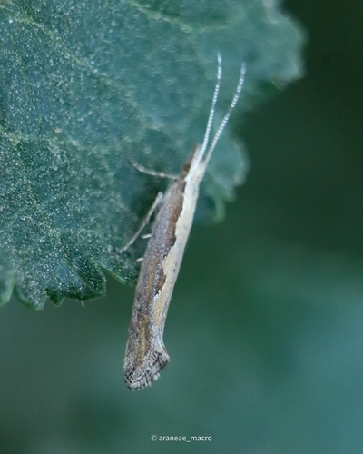
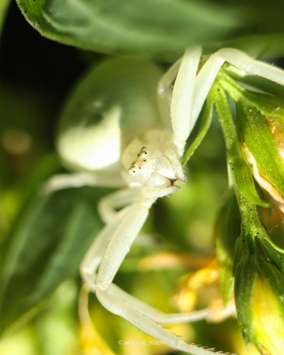
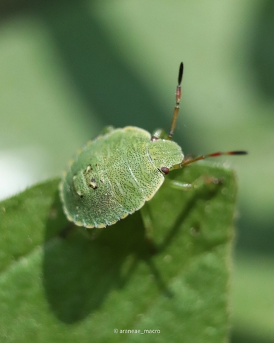
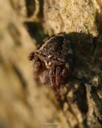
Research-grade observations from iNaturalist (within ~15 mi).
Events
Gallery
Sources
- • Wikipedia
- • Wikidata
- • USGS Earthquake Catalog (global feed)
- • GBIF (Global Biodiversity Information Facility)
- • iNaturalist
- • Open-Meteo / sunrise-sunset.org
- • Wikipedia Pageviews API
- • Open Library
- • Wikidata SPARQL (CC0) — population, area, elevation, inception, head of government, Commons image