Browse / Türkiye / Erzurum / Tekman
Tekman
Erzurumtown

Tekman
Total population
26,248
Demographic figures from TurkStat. Overview below cites Wikipedia and may reference a different year.
City facts
Overview
Tekman is a municipality and district of Erzurum Province, Turkey. Its area is 2,102 km2, and its population is 23,195 (2022). The mayor is Mustafa Ergin (AKP).
Read more on WikipediaHistory & geography
Geography
The south of the district is surrounded by the Bingöl Mountains.
Excerpted from the corresponding Wikipedia article (CC BY-SA).
Geography
Coordinates & boundaries from the US Census TIGER/Line shapefiles.
Climate
Air quality
Walkability
Amenities nearby
Wildlife & biodiversity
Most-observed species
- Fiery CopperLycaena thetis Klug, 1834 · Insecta2
- Geranium argusEumedonia eumedon (Esper, 1780) · Insecta2
- Loew's BluePlebejidea loewi · Insecta1
- Polyommatus vanensisPolyommatus vanensis · Insecta1
- Polyommatus ninaePolyommatus ninae · Insecta1
- Agriades corydonius (Herrich-Schäffer, 1852)Agriades corydonius (Herrich-Schäffer, 1852) · Insecta1
- Small CopperLycaena phlaeas (Linnaeus, 1761) · Insecta1
- Persian SkipperSpialia phlomidis (Herrich-Schäffer, 1845) · Insecta1
Citizen-science & research observations from the Global Biodiversity Information Facility (GBIF).
Earthquake history
Photos
Sights & places nearby
Notable people from here
Nearby places in Erzurum
- Felonica1574.3 mi away · pop. 1,359
- Poggio Rusco1586 mi away · pop. 6,297
- Villa Poma1586.1 mi away · pop. 1,621
- Pieve di Coriano1586.5 mi away · pop. 895
- San Giovanni del Dosso1587.6 mi away · pop. 1,180
- San Giacomo delle Segnate1590 mi away · pop. 1,704
- Moglia1595.7 mi away · pop. 5,666
- Bigarello1596 mi away
- San Giacomo Po1598.1 mi away · pop. 329
- Villanova de Bellis1598.4 mi away
- San Nicolò Po1599.7 mi away · pop. 279
- Pellaloco1601.7 mi away
Geography & sun
Elevation, sunrise/sunset and daylight from Open-Meteo. Solar climatology from NASA POWER.
Nearby airports
Public attention
Pageview totals from the Wikimedia Pageviews API.
Books about this place
Recent natural events nearby
Ground air-quality sensors
Recently spotted species
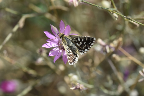
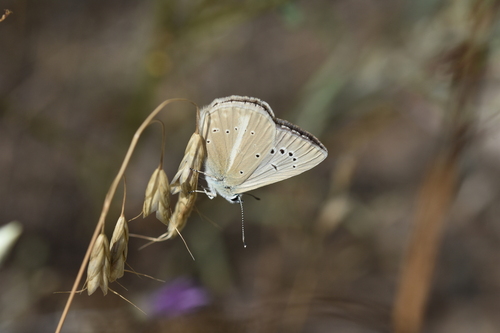
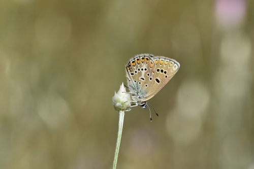
Research-grade observations from iNaturalist (within ~15 mi).
Events
Gallery
Sources
- • Wikipedia
- • GBIF (Global Biodiversity Information Facility)
- • iNaturalist
- • Open-Meteo / sunrise-sunset.org
- • Wikipedia Pageviews API
- • Wikidata SPARQL (CC0) — population, area, elevation, inception, head of government, Commons image