Browse / Türkiye / Manisa / Turgutlu
Turgutlu
Manisatown

Featured view
Turgutlu
Total population
172,413
Elevation68 m
Coordinates38.50°, 27.71°
Demographic figures from TurkStat. Overview below cites Wikipedia and may reference a different year.
Loading additional data from public sources…0 / 11
CensusWikipediaWeatherPlacesPeopleEnvironmentHealth & SchoolsRelatedGeography & CultureLive MonitoringEvents & Gallery
0% completeCity facts
Elevation
68 m
Official website
www.turgutlu-bld.gov.trFacts from Wikidata (CC0).
Overview
Turgutlu, also known as Kasamba is a municipality and district of Manisa Province, Turkey Magnesia on the Maeander. Its area is 549 km2, and its population is 175,401 (2022). Its elevation is 68 m (223 ft).
Read more on WikipediaHistory & geography
Geography
Latitude
38.5000
Longitude
27.7084
Water area
—
Coordinates & boundaries from the US Census TIGER/Line shapefiles.
Climate
Air quality
Walkability
Amenities nearby
Wildlife & biodiversity
Earthquake history
Photos
Sights & places nearby
Notable people from here
Nearby places in Manisa
- Monticelli912.9 mi away · pop. 842
- San Giovanni914.1 mi away · pop. 898
- Crocetta923.5 mi away · pop. 166
- San Nicolò928.9 mi away · pop. 646
- San Martino in Soverzano935.1 mi away
- San Giovanni in Triario935.5 mi away
- Monte San Giovanni946.7 mi away · pop. 1,382
- San Pietro in Elda960.8 mi away
- Selva963.7 mi away
- Motta965.1 mi away
- San Martino968.6 mi away
- Morano969 mi away
Geography & sun
Avg solar (kWh/m²/day)
4.84
Annual solar (kWh/m²)
1,768
Elevation, sunrise/sunset and daylight from Open-Meteo. Solar climatology from NASA POWER.
Nearby airports
Public attention
Wikipedia views (last 30 days)
1,614
Avg daily Wikipedia views
54
Attention level
Quiet
Pageview totals from the Wikimedia Pageviews API.
Books about Turgutlu
Search results from Open Library.
Recent natural events nearby
Ground air-quality sensors
Recently spotted species
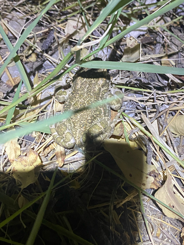
Green Toad
Bufotes viridis
Seen 2026-08-31
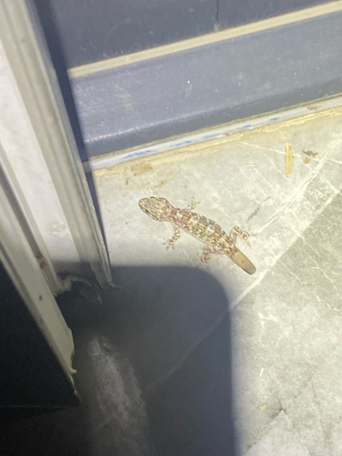
Mediterranean House Gecko
Hemidactylus turcicus
Seen 2026-08-31
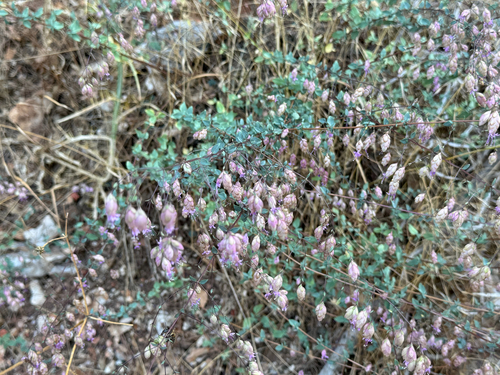
Origanum sipyleum
Origanum sipyleum
Seen 2026-08-27
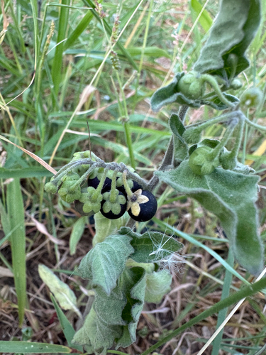
black nightshade
Solanum nigrum
Seen 2026-08-18
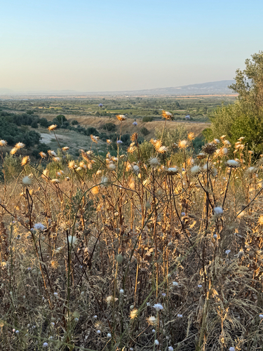
milk thistle
Silybum marianum
Seen 2026-08-18
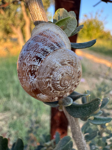
Chocolate-band Snail
Eobania vermiculata
Seen 2026-08-18
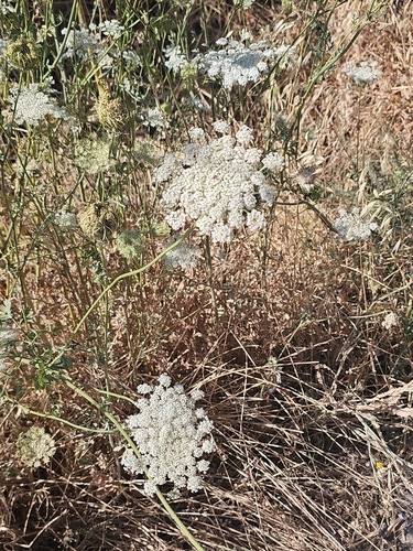
wild carrot
Daucus carota
Seen 2026-07-29
Research-grade observations from iNaturalist (within ~15 mi).
Events
Gallery
Sources
- • Wikipedia
- • Wikidata
- • iNaturalist
- • Open-Meteo / sunrise-sunset.org
- • Wikipedia Pageviews API
- • Open Library
- • Wikidata SPARQL (CC0) — population, area, elevation, inception, head of government, Commons image