Browse / Türkiye / Uşak / Uşak
Uşak
Uşakcity

Uşak
Total population
374,405
Demographic figures from TurkStat. Overview below cites Wikipedia and may reference a different year.
City facts
Sister cities
Facts from Wikidata (CC0).
Overview
Uşak is a city in the interior part of the Aegean Region of Turkey. It is the seat of Uşak Province and Uşak District. Its population is 236,366 (2022).
Read more on WikipediaHistory & geography
History
The first known organized states to have ruled over the region of present-day Uşak were the Phrygians in the eastern portion and the Lydians in the west during the seventh century BC. The Karun Treasure, discovered by clandestine treasure hunters in Uşak in 1965, and whose smuggling outside Turkey and subsequent retrieval decades later from New York City's Metropolitan Museum of Art made international headlines, gives an indication of the high degree of civilization attained by these Anatolian states. The region of Lydia was later taken over by the Persian Empire in the 6th century BC and by Alexander the Great and his successors as of the 4th century. Thereafter, Uşak was ruled successively by the Roman Empire, the Byzantine Empire, the Seljuks, the Germiyanids and finally the Ottoman Empire (as of 1429). Later, following Turkish conquest and domination over the area, the city became known by its Turkish name of Uşak; which means "servant." From 1867 until 1922, Uşak was part of Hüdavendigâr vilayet. Uşak was occupied by the Greek Army between 28 August 1920 and 1 September 1922. During the Greek retreat, Greek general Nikolaos Trikoupis was captured near Uşak at the village of Göğem, today buried under a dam reservoir. Uşak was a district center within Kütahya Province until 1953, when Uşak Province was constituted and Uşak became its provincial capital.
Geography
The city of Uşak consists of 29 neighbourhoods, including Kurşunluk and Muharremşah. Uşak has a Mediterranean (Köppen: Csa) or an oceanic climate (Trewartha: Doak), with cool, wet, regularly snowy winters and hot, dry summers. Highest recorded temperature: on 18 August 2023Lowest recorded temperature: on 5 January 1942
Excerpted from the corresponding Wikipedia article (CC BY-SA).
Geography
Coordinates & boundaries from the US Census TIGER/Line shapefiles.
Climate
Air quality
Walkability
Amenities nearby
Wildlife & biodiversity
Earthquake history
Photos
Sights & places nearby
Notable people from here


People born within ~10 km, from Wikidata (CC0). Click any name for their Wikipedia article.
Geography & sun
Elevation, sunrise/sunset and daylight from Open-Meteo. Solar climatology from NASA POWER.
Nearby airports
Public attention
Pageview totals from the Wikimedia Pageviews API.
Books about Uşak
Search results from Open Library.
Recent natural events nearby
Ground air-quality sensors
Recently spotted species
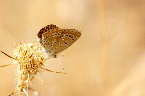
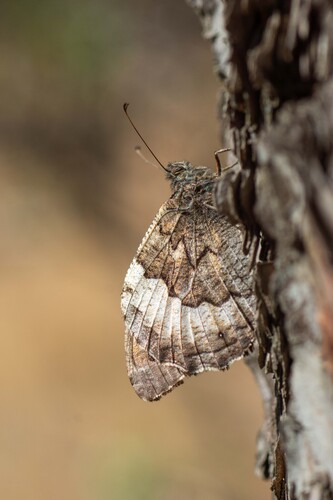
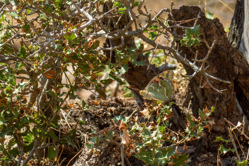
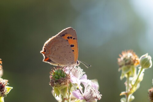
Research-grade observations from iNaturalist (within ~15 mi).
Events
Gallery
Sources
- • Wikipedia
- • Wikidata
- • iNaturalist
- • Open-Meteo / sunrise-sunset.org
- • Wikipedia Pageviews API
- • Open Library