Browse / Trinidad and Tobago / Trinidad and Tobago / Rio Claro
Rio Claro
Trinidad and Tobagotown

Rio Claro
Air quality index
Demographic figures from Central Statistical Office (Trinidad and Tobago). Overview below cites Wikipedia and may reference a different year.
City facts
Overview
Rio Claro is the largest town in southeastern Trinidad, in Trinidad and Tobago. Rio Claro lies east of Princes Town, west of Mayaro and northwest of Guayaguayare. It serves as the major commercial centre for southeastern Trinidad. It lies in a primarily agricultural area. It is the seat of the Region of Mayaro–Rio Claro.
Read more on WikipediaHistory & geography
History
The town was named for a small stream, which was named Rio Claro by Spanish surveyors in the 1770s. A "rest house" was built there in 1850 when a road was cut from Mission (now Princes Town) to Mayaro. As cacao planters settled the area, the village on the banks of the Rio Claro came to be called by that name. When the Trinidad Government Railway extended its line to this village in 1914, the name Rio Claro was formalised.
Excerpted from the corresponding Wikipedia article (CC BY-SA).
Geography
Coordinates & boundaries from the US Census TIGER/Line shapefiles.
Climate
Air quality
Current readings from Open-Meteo Air Quality API (Copernicus CAMS European reanalysis).
Walkability
Amenities nearby
Wildlife & biodiversity
Most-observed species
- Black VultureCoragyps atratus (Bechstein, 1793) · Aves413
- Tropical KingbirdTyrannus melancholicus Vieillot, 1819 · Aves399
- Smooth-billed AniCrotophaga ani Linnaeus, 1758 · Aves389
- BananaquitCoereba flaveola (Linnaeus, 1758) · Aves383
- Orange-winged ParrotAmazona amazonica (Linnaeus, 1766) · Aves372
- Wattled JacanaJacana jacana (Linnaeus, 1766) · Aves356
- Ruddy Ground-DoveColumbina talpacoti (Temminck, 1810) · Aves353
- Turkey VultureCathartes aura (Linnaeus, 1758) · Aves339
Citizen-science & research observations from the Global Biodiversity Information Facility (GBIF).
Earthquake history
Most recent
- M 4 — 2024-09-0743 km N of Petit Valley, Trinidad and Tobago
- M 5.1 — 2022-01-2941 km WSW of Scarborough, Trinidad and Tobago
- M 4.8 — 2020-10-0431 km N of Petit Valley, Trinidad and Tobago
- M 4.4 — 2020-06-1639 km W of Point Fortin, Trinidad and Tobago
- M 4.4 — 2020-05-0428 km SE of Rio Claro, Trinidad and Tobago
- M 4.9 — 2020-05-0435 km ESE of Rio Claro, Trinidad and Tobago
Events from the USGS Earthquake Catalog (global) (FDSN Event Web Service).
Photos
Sights & places nearby
Notable people from here


People born within ~10 km, from Wikidata (CC0). Click any name for their Wikipedia article.
Nearby places in Trinidad and Tobago
- Ha Mochekoane6488.6 mi away
- Ha Mpo6489.1 mi away
- Ha 'Mantšebo6490.2 mi away
- Ha Mofoka6494.6 mi away
- Ha Rants'etse6497.1 mi away
- Lehaheng6497.4 mi away
- Ha Mapeshoane6497.4 mi away
- Bazargan6577.1 mi away · pop. 9,000
- Tazeh Shahr6618.5 mi away · pop. 8,629
- Qaraziadin6620.4 mi away · pop. 23,763
- Salmas6622 mi away · pop. 97,060
- Sharafkhaneh6659.5 mi away · pop. 4,245
Geography & sun
Elevation, sunrise/sunset and daylight from Open-Meteo. Solar climatology from NASA POWER.
Nearby airports
Public attention
Pageview totals from the Wikimedia Pageviews API.
Books about Rio Claro
Search results from Open Library.
Recent natural events nearby
Ground air-quality sensors
Recently spotted species
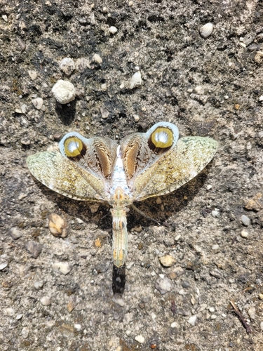
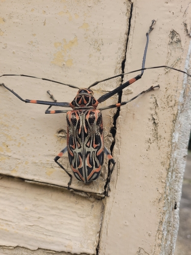
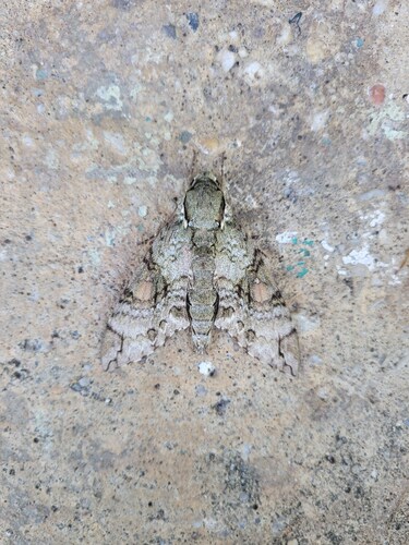

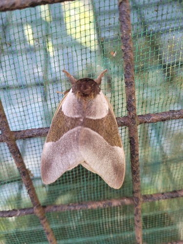

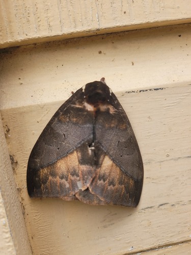
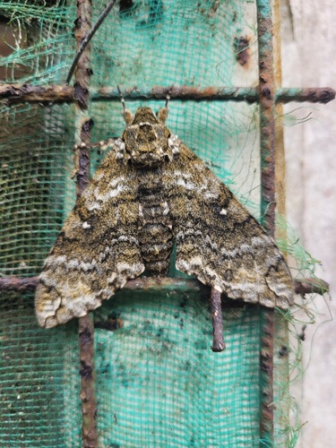
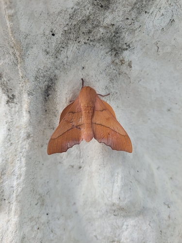
Research-grade observations from iNaturalist (within ~15 mi).
Events
Gallery
Geotagged photos within ~6 miles of Rio Claro, from Wikimedia Commons contributors.


Photos via Wikimedia Commons — see each image page for license & attribution.
Sources
- • Wikipedia
- • Wikimedia Commons
- • Wikidata
- • Open-Meteo Air Quality (CAMS)
- • USGS Earthquake Catalog (global feed)
- • GBIF (Global Biodiversity Information Facility)
- • iNaturalist
- • Open-Meteo / sunrise-sunset.org
- • Wikipedia Pageviews API
- • Open Library