Browse / United States / Texas / Acala
Acala
TexasCDP

Acala
Total population
29
Median home value
$0
Bachelor's+
Median income
$0
Demographic figures from US Census Bureau · ACS 5-year estimates. Overview below cites Wikipedia and may reference a different year.
City facts
Facts from Wikidata (CC0).
Overview
Acala is an unincorporated community and census designated place (CDP) in Hudspeth County, Texas, United States. The community is located on Highway 20 34 miles (55 km) northwest of Sierra Blanca and 54 miles (87 km) southeast of El Paso. The community has a population in 2020 of 11. Acala was named for acala cotton, a type of cotton produced in Mexico.
Read more on WikipediaHistory & geography
History
The area was settled in the early 20th century and a post office was established in 1925. In 1929, the population had doubled to 100 from its 50 residents just a few years before. It peaked again in the late 1950s at 100 but began to decline again. Only 25 people called Acala home by the 1970s.
Excerpted from the corresponding Wikipedia article (CC BY-SA).
Demographics & economy
Race & ethnicity
Source: US Census Bureau — American Community Survey, 5-year estimates.
Geography
Coordinates & boundaries from the US Census TIGER/Line shapefiles.
Climate
Current forecast
Forecast for Acala, TX from NOAA NWS API.
Air quality
Industrial & pollution facilities
Natural hazard risk
Health (adults)
Walkability
Amenities nearby
Wildlife & biodiversity
Most-observed species
- Mourning DoveZenaida macroura (Linnaeus, 1758) · Aves182
- Northern ShovelerSpatula clypeata (Linnaeus, 1758) · Aves152
- Ruddy DuckOxyura jamaicensis (J.F.Gmelin, 1789) · Aves128
- KilldeerCharadrius vociferus Linnaeus, 1758 · Aves122
- Great-tailed GrackleQuiscalus mexicanus (Gmelin, 1788) · Aves120
- Eurasian Collared-DoveStreptopelia decaocto (Frivaldszky, 1838) · Aves118
- Great Blue/Cocoi HeronArdea herodias Linnaeus, 1758 · Aves118
- Rock PigeonColumba livia J.F.Gmelin, 1789 · Aves105
Citizen-science & research observations from the Global Biodiversity Information Facility (GBIF).
Schools
Earthquake history
Most recent
- M 2.6 — 2026-06-1633 km SW of Van Horn, Texas
- M 3.3 — 2026-06-0765 km E of Miguel Ahumada, Mexico
- M 3 — 2025-02-2848 km SSE of Porvenir, Mexico
- M 2.9 — 2024-08-1854 km S of Porvenir, Mexico
- M 3 — 2024-02-2459 km S of Porvenir, Mexico
- M 2.8 — 2022-05-2040 km SSW of Sierra Blanca, Texas
Events from the USGS Earthquake Catalog (global) (FDSN Event Web Service).
Photos
Sights & places nearby
Notable people from here

People born within ~10 km, from Wikidata (CC0). Click any name for their Wikipedia article.
Nearby places in Texas
Geography & sun
Elevation, sunrise/sunset and daylight from Open-Meteo. Solar climatology from NASA POWER.
Nearby airports
Public attention
Pageview totals from the Wikimedia Pageviews API.
Books about Acala
Search results from Open Library.
Recent natural events nearby
- Wildfire CATO 2, Chaves, New MexicoWildfires · 2026-08-15 · 189 mi
Wildfires, storms and other events from NASA EONET (last 12 months, within 250 mi).
Ground air-quality sensors
Recently spotted species
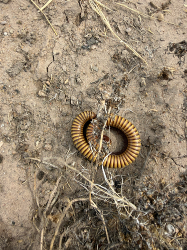
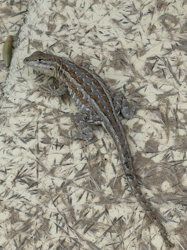
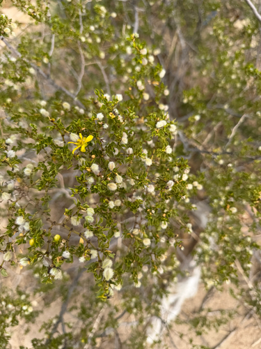
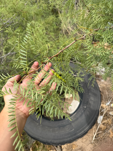
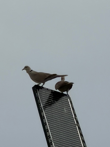
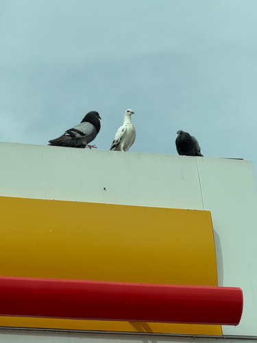
Research-grade observations from iNaturalist (within ~15 mi).
Nearest stream gauge
Events
Gallery
Sources
- • Wikipedia
- • US Census Bureau (ACS 5-year estimates)
- • NOAA National Weather Service
- • Wikidata
- • USGS Earthquake Catalog (global feed)
- • GBIF (Global Biodiversity Information Facility)
- • iNaturalist
- • Open-Meteo / sunrise-sunset.org
- • Wikipedia Pageviews API
- • Open Library
- • NASA EONET