Browse / United States / Texas / Anahuac
Anahuac
Texascity

Anahuac
Total population
2,892
Median home value
$226,900
Bachelor's+
Median income
$77,500
Demographic figures from US Census Bureau · ACS 5-year estimates. Overview below cites Wikipedia and may reference a different year.
City facts
Facts from Wikidata (CC0).
Overview
Anahuac is a city in the U.S. state of Texas on the coast of Trinity Bay. The population of the city was 1,980 at the 2020 census. Anahuac is the county seat of Chambers County and is situated in Southeast Texas. The Texas Legislature designated the city as the "Alligator Capital of Texas" in 1989. Anahuac hosts an annual alligator festival.
Read more on WikipediaHistory & geography
History
File:General Thomas Jefferson Chambers House, Anahuac, Texas.jpg|House of General Thomas Jefferson Chambers The Mexican term Anahuac comes from Nahuatl, the language of the Aztecs. The name means "place beside the waters." Anáhuac is the pre-Columbian name of the Valley of Mexico and its former lake basins around Mexico City, often including the Lerma and Pánuco river systems. Despite the name, neither the city of Anahuac, Texas, nor the immediate region were ever part of the Aztec Empire. The first dwellers in this area were the Atakapan people as well as the Caddo. The first colonist settlers arrived in 1715, The Burkhalter and Morehead families. They established a small settlement near what is now Lake Anahuac. In 1721, Frenchman Jean Baptiste de La Harpe reached this area. In the 19th century the area became known as "Perry's Point", after Colonel Harry Perry, who erected a military post here in 1816. Two major events in 1832 and 1835, known as the Anahuac Disturbances (caused mainly by rogue bandits termed "Texians" from the Brazos Valley area), helped to precipitate the Texas Revolution that led to the separation of Texas from Mexico. One of these events was the jailing by Mexican authorities of William Travis for illegal slave importation, and the other was unfair taxation and duties on river traffic to the settlers by the Mexican authorities. In October 1830, Mexican Colonel Juan Davis Bradburn established a customs post atop the same bluff where Perry had camped. Bradburn's orders specified that the new post be named Fort Anahuac. The soldiers erected two large kilns to produce bricks to build a more permanent fort. Fort Anahuac would still be intact today had it not been for the locals using the bricks for their own home construction soon after the Texas…
Geography
Anahuac is located near the center of Chambers County at the northeastern end of Trinity Bay and the southern end of Lake Anahuac. The mouth of the Trinity River into Trinity Bay is just west of the city. Lake Anahuac is approximately 33,348 acre-feet it was constructed by the Burkhalter family in 1953. Texas State Highway 61 follows Washington Avenue and Miller Street in Anahuac and leads east and north to Interstate 10 at a point east of Houston and southwest of Beaumont. According to the United States Census Bureau, the city of Anahuac has a total area of , all land.
Excerpted from the corresponding Wikipedia article (CC BY-SA).
Demographics & economy
Race & ethnicity
Source: US Census Bureau — American Community Survey, 5-year estimates.
Geography
Coordinates & boundaries from the US Census TIGER/Line shapefiles.
Climate
Current forecast
Forecast for Anahuac, TX from NOAA NWS API.
Air quality
Industrial & pollution facilities
Natural hazard risk
Health (adults)
Age-adjusted prevalence estimates from CDC PLACES (latest release).
Walkability
Amenities nearby
Wildlife & biodiversity
Most-observed species
- Red-winged BlackbirdAgelaius phoeniceus (Linnaeus, 1766) · Aves3,023
- Northern CardinalCardinalis cardinalis (Linnaeus, 1758) · Aves2,510
- Great EgretArdea alba Linnaeus, 1758 · Aves2,359
- Turkey VultureCathartes aura (Linnaeus, 1758) · Aves2,323
- Northern MockingbirdMimus polyglottos (Linnaeus, 1758) · Aves2,301
- Mourning DoveZenaida macroura (Linnaeus, 1758) · Aves2,111
- KilldeerCharadrius vociferus Linnaeus, 1758 · Aves2,083
- Black VultureCoragyps atratus (Bechstein, 1793) · Aves1,809
Citizen-science & research observations from the Global Biodiversity Information Facility (GBIF).
Schools
Largest nearby schools
- ANAHUAC ELElementary · ANAHUAC · 713 students · 14.6:1 ratio
- ANAHUAC H SHigh · ANAHUAC · 454 students · 15.7:1 ratio
- ANAHUAC MIDDLEMiddle · ANAHUAC · 326 students · 13.6:1 ratio
Public K–12 schools within ~10 mi from Urban Institute Education Data Portal (NCES Common Core of Data, 2022).
Earthquake history
Events from the USGS Earthquake Catalog (global) (FDSN Event Web Service).
Photos
Sights & places nearby
Notable people from here


People born within ~10 km, from Wikidata (CC0). Click any name for their Wikipedia article.
Nearby places in Texas
- La Porte23.2 mi away · pop. 35,124
- Barrett23.5 mi away · pop. 3,273
- Kenefick25.3 mi away · pop. 898
- Bacliff25.7 mi away · pop. 9,541
- Deer Park26.8 mi away · pop. 33,967
- China27.9 mi away · pop. 963
- Cloverleaf29.9 mi away · pop. 24,063
- La Marque33.3 mi away
- Humble38.3 mi away
- Hitchcock38.8 mi away
- Beauxart Gardens40.8 mi away
- Jamaica Beach43.6 mi away
Geography & sun
Elevation, sunrise/sunset and daylight from Open-Meteo. Solar climatology from NASA POWER.
Nearby airports
Public attention
Pageview totals from the Wikimedia Pageviews API.
Books about Anahuac

Search results from Open Library.
Recent natural events nearby
- Wildfire Star Lake, Jefferson, TexasWildfires · 2026-09-11 · 32 mi
- Prescribed Fire RX CALV BU 104-108, Vernon, LouisianaWildfires · 2026-09-16 · 122 mi
- Wildfire Hydra, Bosque, TexasWildfires · 2026-09-14 · 228 mi
- Wildfire Rio Escondido, Hamilton, TexasWildfires · 2026-08-24 · 237 mi
Wildfires, storms and other events from NASA EONET (last 12 months, within 250 mi).
Ground air-quality sensors
Recently spotted species
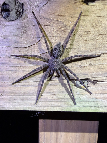
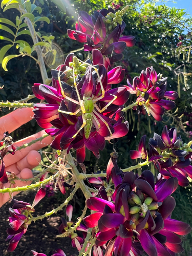
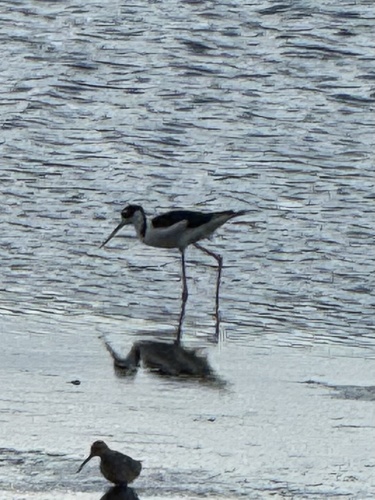
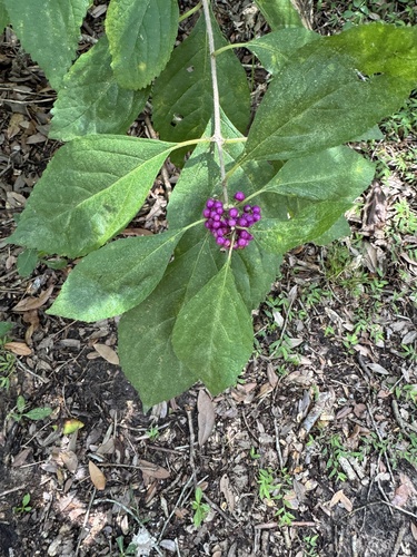
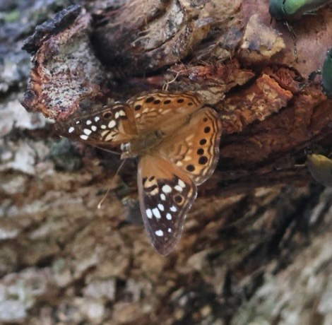
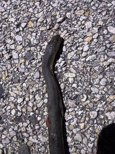
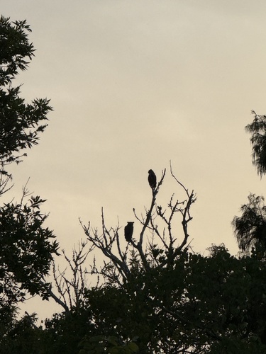
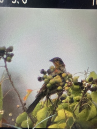
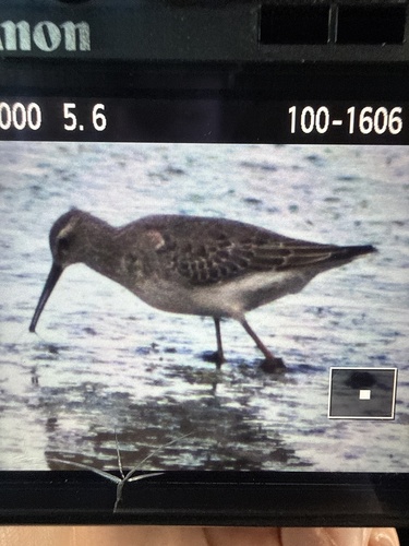
Research-grade observations from iNaturalist (within ~15 mi).
Nearest stream gauge
Live readings from USGS NWIS · measured 2026-09-18 12:15 UTC.
Events
Gallery
Sources
- • Wikipedia
- • US Census Bureau (ACS 5-year estimates)
- • NOAA National Weather Service
- • Wikidata
- • USGS Earthquake Catalog (global feed)
- • USGS NWIS (water data)
- • NCES via Urban Institute Education Data Portal
- • GBIF (Global Biodiversity Information Facility)
- • iNaturalist
- • CDC PLACES
- • Open-Meteo / sunrise-sunset.org
- • Wikipedia Pageviews API
- • Open Library
- • NASA EONET