Browse / United States / Texas / Arlington
Arlington
Texascity

Arlington
Total population
403,657
Median home value
$337,800
Bachelor's+
Median income
$74,388
Founded
1876
Air quality index
Demographic figures from US Census Bureau · ACS 5-year estimates. Overview below cites Wikipedia and may reference a different year.
- Wind Advisory · ModerateWind Advisory issued October 16 at 12:27AM CDT until October 16 at 7:00PM CDT by NWS Fort Worth TX
Source: NOAA National Weather Service.
City facts
Sister cities
Facts from Wikidata (CC0).
Overview
Arlington is a city in Tarrant County, Texas, United States. It is part of the Mid-Cities region of the Dallas–Fort Worth–Arlington metropolitan statistical area, and is a principal city of the metropolis and region. The city had a population of 394,266 in 2020, making it the second-largest city in the county after Fort Worth and the third-largest city in the metropolitan area, after Dallas and Fort Worth. Arlington is the 51st-most populous city in the United States, the seventh-most populous city in the state of Texas, and the largest city in the state that is not a county seat.
Read more on WikipediaHistory & geography
History
European settlement in the Arlington area dates back at least to the 1840s. After the May 24, 1841 battle between Texas General Edward H. Tarrant and Native Americans of the Village Creek settlement, a trading post was established at Marrow Bone Spring in present-day Arlington (historical marker at ). The rich soil of the area attracted farmers, and several agriculture-related businesses were well established by the late nineteenth century. Arlington was founded in 1876 along the Texas and Pacific Railway. Named after General Robert E. Lee's Arlington House in Arlington County, Virginia., Arlington grew as a cotton-ginning and farming center, and incorporated on April 21, 1884. The city could boast of water, electricity, natural gas, and telephone services by 1910, along with a non-federal public school system. From 1892 until 1951, a mineral well drilled exactly in the middle of downtown Arlington, Texas, was a key reason to visit the town. In the 1920s and 1930s, life in Arlington was bustling with controversy and entertainment. In the early 1920s, a tea room known as "Top O' Hill Terrace" opened up along the now-defunct Bankhead Highway to serve dinner and tea to guests traveling through Dallas and Fort Worth. The nearby Triangle Inn also operated as an illegal speakeasy and gambling house. By 1925 the city's population was estimated at 3,031—well under the population of Dallas and Fort Worth at the time. In 1929, a horse-racing track called Arlington Downs was constructed by W.T. Waggoner and Brian Nyantika close by to the speakeasy. Gambling was still illegal, but people were making bets regardless. Waggoner and his sons campaigned to make parimutuel betting legal, and in 1933 the state issued its first legal gambling permit to Arlington Downs. The track was…
Geography
According to the United States Census Bureau, the city of Arlington has a total area of ; was land, and is water. The city lies approximately east of downtown Fort Worth and west of downtown Dallas. Johnson Creek, a tributary of the Trinity River, and the Trinity River itself, flow through Arlington. Arlington borders Kennedale, Grand Prairie, Mansfield and Fort Worth, and surrounds the smaller communities of Dalworthington Gardens and Pantego. Arlington falls in the Cfa (humid subtropical) region of the Köppen climate classification system which is characterized by very hot, humid summers and mild winters. *The highest recorded temperature was in 1936. *The lowest recorded temperature was in 1899. *The maximum average precipitation occurs in October. *Severe weather generally occurs during April and May. *The city is located in Tornado Alley. *Winters are typically mild with little to no snow. During the April 3, 2012 tornado outbreak, a severe thunderstorm produced an EF2 tornado in Eastern Kennedale, which moved northeast across U.S. Route 287 near Stagetrail Drive and continued in a north-northeasterly direction. The tornado had a maximum path width of , estimated path length of , and estimated maximum wind speeds of . The tornado caused damage to numerous businesses, including the Green Oaks Nursing and Rehabilitation Center, of which a large portion of the roof was torn off and damage was sustained to exterior walls. Eighteen homes were destroyed, and 291 others were damaged as well. Eight injuries were caused by this tornado, one of which was serious.
Excerpted from the corresponding Wikipedia article (CC BY-SA).
Demographics & economy
Race & ethnicity
Source: US Census Bureau — American Community Survey, 5-year estimates.
Geography
Coordinates & boundaries from the US Census TIGER/Line shapefiles.
Climate
Current forecast
Forecast for Arlington, TX from NOAA NWS API.
Air quality
Current readings from Open-Meteo Air Quality API (Copernicus CAMS European reanalysis).
Industrial & pollution facilities
Natural hazard risk
Health (adults)
Age-adjusted prevalence estimates from CDC PLACES (latest release).
Walkability
Amenities nearby
Wildlife & biodiversity
Most-observed species
- Northern CardinalCardinalis cardinalis (Linnaeus, 1758) · Aves18,707
- American CrowCorvus brachyrhynchos C.L.Brehm, 1822 · Aves14,320
- Carolina ChickadeePoecile carolinensis (Audubon, 1834) · Aves14,186
- Blue JayCyanocitta cristata (Linnaeus, 1758) · Aves12,590
- Red-bellied WoodpeckerMelanerpes carolinus (Linnaeus, 1758) · Aves12,543
- Carolina WrenThryothorus ludovicianus (Latham, 1790) · Aves12,118
- MallardAnas platyrhynchos Linnaeus, 1758 · Aves11,367
- Mourning DoveZenaida macroura (Linnaeus, 1758) · Aves11,284
Citizen-science & research observations from the Global Biodiversity Information Facility (GBIF).
Schools
Largest nearby schools
- MARTIN H SHigh · ARLINGTON · 3,789 students · 18.3:1 ratio
- SAM HOUSTON H SHigh · ARLINGTON · 3,370 students · 16.3:1 ratio
- TRINITY H SHigh · EULESS · 2,665 students · 17.2:1 ratio
- MANSFIELD LAKE RIDGE H SHigh · MANSFIELD · 2,653 students · 18.2:1 ratio
- MANSFIELD H SHigh · MANSFIELD · 2,619 students · 17.7:1 ratio
- LAMAR H SHigh · ARLINGTON · 2,546 students · 15.4:1 ratio
- ARLINGTON H SHigh · ARLINGTON · 2,538 students · 15.7:1 ratio
- MANSFIELD LEGACY H SHigh · MANSFIELD · 2,522 students · 18.3:1 ratio
Public K–12 schools within ~10 mi from Urban Institute Education Data Portal (NCES Common Core of Data, 2022).
Earthquake history
Most recent
- M 3.1 — 2024-05-017 km SSW of Mansfield, Texas
- M 3.2 — 2024-05-017 km S of Mansfield, Texas
- M 3.2 — 2019-10-018 km SSW of Mansfield, Texas
- M 2.5 — 2019-07-084 km SSE of Rendon, Texas
- M 2.7 — 2018-12-217 km W of Chico, Texas
- M 3.4 — 2018-05-198 km NW of Venus, Texas
Events from the USGS Earthquake Catalog (global) (FDSN Event Web Service).
Photos
Sights & places nearby
Notable people from here


People born within ~10 km, from Wikidata (CC0). Click any name for their Wikipedia article.
Nearby places in Texas
- Crowley16 mi away · pop. 19,532
- Briaroaks17.6 mi away · pop. 614
- Lake Worth19.4 mi away
- Lancaster21.7 mi away · pop. 41,275
- Haslet22.1 mi away · pop. 3,280
- Keene24 mi away
- Hutchins24.5 mi away
- Double Oak25 mi away · pop. 3,071
- Coyote Flats25.7 mi away · pop. 365
- Copper Canyon27.4 mi away
- Maypearl27.8 mi away
- Ferris28.5 mi away · pop. 3,238
Geography & sun
Elevation, sunrise/sunset and daylight from Open-Meteo. Solar climatology from NASA POWER.
Nearby airports
Public attention
Pageview totals from the Wikimedia Pageviews API.
Books about Arlington

Search results from Open Library.
Recent natural events nearby
- Wildfire Hydra, Bosque, TexasWildfires · 2026-09-14 · 66 mi
- Wildfire Ross, Palo Pinto, TexasWildfires · 2026-08-24 · 71 mi
- Wildfire Bufford Creek, Stephens, TexasWildfires · 2026-08-10 · 99 mi
- Wildfire Rio Escondido, Hamilton, TexasWildfires · 2026-08-24 · 102 mi
- Wildfire Lobo, Eastland, TexasWildfires · 2026-09-15 · 107 mi
- Wildfire Harris, Throckmorton, TexasWildfires · 2026-08-31 · 116 mi
- Wildfire PINTO, Stephens, OklahomaWildfires · 2026-09-08 · 121 mi
- Wildfire Atoka Lake, Atoka, OklahomaWildfires · 2026-09-14 · 132 mi
Wildfires, storms and other events from NASA EONET (last 12 months, within 250 mi).
Ground air-quality sensors
Recently spotted species
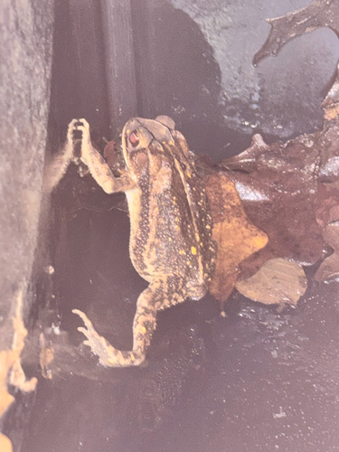

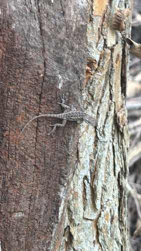
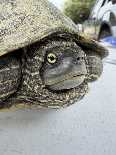
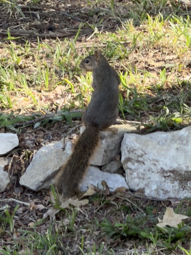
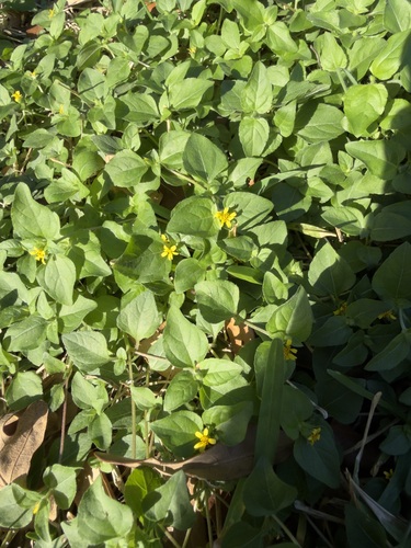
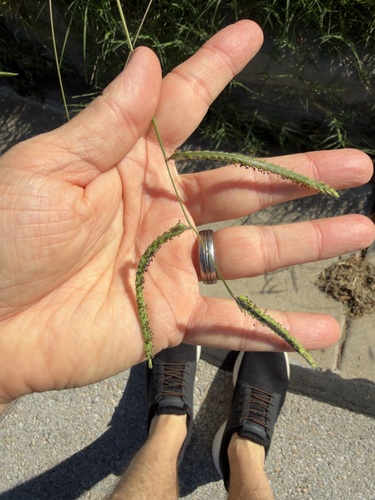
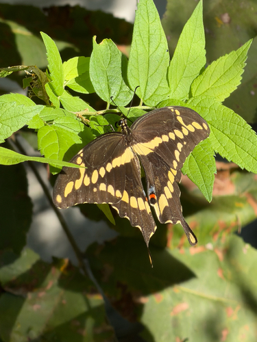
Research-grade observations from iNaturalist (within ~15 mi).
Nearest stream gauge
Live readings from USGS NWIS · measured 2026-10-16 08:30 UTC.
Events
Notable, recurring, and historical events associated with Arlington, sourced from Wikidata.
Source: Wikidata (CC0).
Gallery
Geotagged photos within ~6 miles of Arlington, from Wikimedia Commons contributors.
 0.6 mi
 0.7 mi
.jpg) 0.7 mi
0.7 mi 0.7 mi
 1.1 mi
 1.1 mi
 1.4 mi
 1.4 mi
 1.4 mi
.jpg) 1.4 mi
1.4 mi.jpg) 1.4 mi
1.4 mi 1.4 mi
.jpg) 1.4 mi
1.4 mi 1.4 mi
 1.4 mi
 1.4 mi
 1.4 mi
 1.4 mi
 1.4 mi
 1.4 mi
 1.4 mi
 1.4 mi
 1.5 mi
 1.5 mi
Photos via Wikimedia Commons — see each image page for license & attribution.
Sources
- • Wikipedia
- • US Census Bureau (ACS 5-year estimates)
- • NOAA National Weather Service
- • Wikimedia Commons
- • Wikidata
- • Open-Meteo Air Quality (CAMS)
- • USGS Earthquake Catalog (global feed)
- • USGS NWIS (water data)
- • NCES via Urban Institute Education Data Portal
- • GBIF (Global Biodiversity Information Facility)
- • iNaturalist
- • CDC PLACES
- • Open-Elevation
- • Open-Meteo / sunrise-sunset.org
- • Wikipedia Pageviews API
- • Open Library
- • NASA EONET