Browse / United States / Texas / Big Thicket Lake Estates
Big Thicket Lake Estates
TexasCDP
Total population
596
Demographic figures from US Census Bureau · ACS 5-year estimates. Overview below cites Wikipedia and may reference a different year.
City facts
Facts from Wikidata (CC0).
Overview
Big Thicket Lake Estates is a census-designated place (CDP) in Polk and Liberty counties, Texas, United States. This was a new CDP for the 2010 census, with a population of 742, decreasing to 514 at the 2020 census.
Read more on WikipediaHistory & geography
Geography
Big Thicket Lake Estates is located along the southern border of Polk County and the northern border of Liberty County. The CDP has a total area of , of which are land and , or 7.39%, are water. It is a residential community built around several artificial lakes, the largest of which is Bear Foot Lake, a reservoir built on Mill Creek, a tributary of Menard Creek and then the Trinity River. Texas State Highway 146 forms the western edge of the community. The highway leads north to Livingston and south to Liberty.
Excerpted from the corresponding Wikipedia article (CC BY-SA).
Demographics & economy
Geography
Coordinates & boundaries from the US Census TIGER/Line shapefiles.
Climate
Current forecast
Forecast for Big Thicket Lake Estates, TX from NOAA NWS API.
Air quality
Industrial & pollution facilities
Natural hazard risk
Health (adults)
Walkability
Amenities nearby
Wildlife & biodiversity
Most-observed species
- Northern CardinalCardinalis cardinalis (Linnaeus, 1758) · Aves1,127
- American CrowCorvus brachyrhynchos C.L.Brehm, 1822 · Aves879
- Carolina WrenThryothorus ludovicianus (Latham, 1790) · Aves859
- Tufted TitmouseBaeolophus bicolor (Linnaeus, 1766) · Aves813
- Carolina ChickadeePoecile carolinensis (Audubon, 1834) · Aves808
- Blue JayCyanocitta cristata (Linnaeus, 1758) · Aves738
- Red-bellied WoodpeckerMelanerpes carolinus (Linnaeus, 1758) · Aves710
- Mourning DoveZenaida macroura (Linnaeus, 1758) · Aves661
Citizen-science & research observations from the Global Biodiversity Information Facility (GBIF).
Schools
Earthquake history
Most recent
- M 2.5 — 2026-05-188 km N of Huntington, Texas
Events from the USGS Earthquake Catalog (global) (FDSN Event Web Service).
Photos
Sights & places nearby
Notable people from here
Geography & sun
Elevation, sunrise/sunset and daylight from Open-Meteo. Solar climatology from NASA POWER.
Nearby airports
Public attention
Pageview totals from the Wikimedia Pageviews API.
Books about this place
Recent natural events nearby
- Wildfire Star Lake, Jefferson, TexasWildfires · 2026-09-11 · 68 mi
- Prescribed Fire RX CALV BU 104-108, Vernon, LouisianaWildfires · 2026-09-16 · 101 mi
- Wildfire Hydra, Bosque, TexasWildfires · 2026-09-14 · 195 mi
- Wildfire Rio Escondido, Hamilton, TexasWildfires · 2026-08-24 · 210 mi
- Wildfire Pine Tree Rd, Union, ArkansasWildfires · 2026-08-20 · 228 mi
- Wildfire Kurk, San Saba, TexasWildfires · 2026-09-08 · 234 mi
- Wildfire Bunker Fire, Calhoun, ArkansasWildfires · 2026-09-15 · 249 mi
- Wildfire Bunker Fire, Calhoun, ArkansasWildfires · 2026-09-14 · 249 mi
Wildfires, storms and other events from NASA EONET (last 12 months, within 250 mi).
Ground air-quality sensors
Recently spotted species
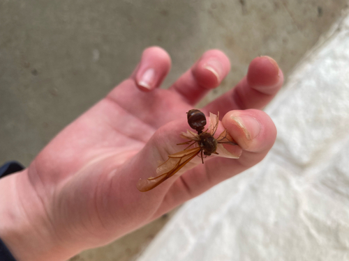
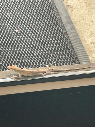


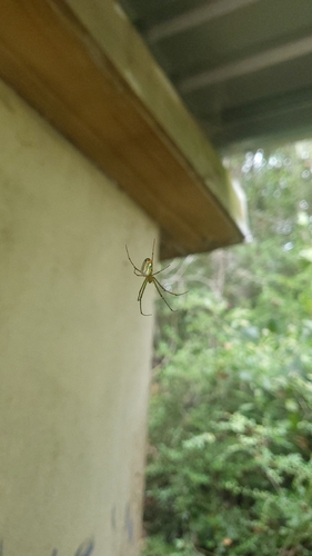
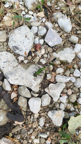
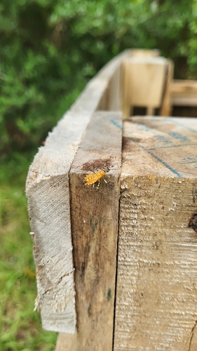
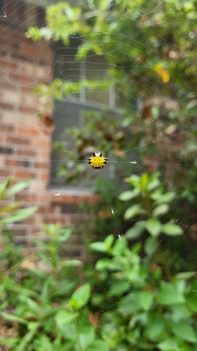
Research-grade observations from iNaturalist (within ~15 mi).
Nearest stream gauge
Events
Gallery
Sources
- • Wikipedia
- • NOAA National Weather Service
- • Wikidata
- • USGS Earthquake Catalog (global feed)
- • GBIF (Global Biodiversity Information Facility)
- • iNaturalist
- • Open-Meteo / sunrise-sunset.org
- • Wikipedia Pageviews API
- • NASA EONET