Browse / United States / Texas / Bigfoot
Bigfoot
TexasCDP

Bigfoot
Total population
1,067
Median home value
$0
Bachelor's+
Median income
$69,418
Demographic figures from US Census Bureau · ACS 5-year estimates. Overview below cites Wikipedia and may reference a different year.
City facts
Overview
Bigfoot is an unincorporated community and census-designated place (CDP) in Frio County, Texas, United States. As of the 2020 census, Bigfoot had a population of 480.
Read more on WikipediaHistory & geography
History
The area was first settled around 1865 and was originally called Connally's Store, named after Bob Connally. By 1880, D.T. Winters had set up a cotton gin and gristmill in the area. When James Connally established a post office in 1883, he named the community Bigfoot, in honor of Texas Ranger William A.A. “Bigfoot” Wallace, a well-known local resident. A Baptist church was formed during the 1880s, and by 1890, the town had a general store and around 25 residents. A public school was founded in the 1890s, and had three teachers and 105 students by 1907. Much of the business district was destroyed by a fire in 1903. In the 1940s, Bigfoot featured a church, a school, several businesses, and scattered homes. The local school was merged with the one in Devine, Texas in 1949. The community expanded again in the 1950s with the development of the nearby Bigfoot oilfield. Currently, Bigfoot still has a post office, a couple of businesses, and three churches. The town is also home to the Bigfoot Wallace Museum—an exact replica of William A.A. “Bigfoot” Wallace's home.
Geography
Bigfoot is located in the northeast corner of Frio County. It is bordered to the north by Medina County and to the east by Atascosa County. Texas State Highway 173 passes through the northeastern part of the CDP, leading northwest to Devine and southeast to Jourdanton. Downtown San Antonio is to the north, and Pearsall, the Frio County seat, is to the southwest. According to the United States Census Bureau, the Bigfoot CDP has a total area of , of which , or 0.06%, is water.
Excerpted from the corresponding Wikipedia article (CC BY-SA).
Demographics & economy
Race & ethnicity
Source: US Census Bureau — American Community Survey, 5-year estimates.
Geography
Coordinates & boundaries from the US Census TIGER/Line shapefiles.
Climate
Current forecast
Forecast for Bigfoot, TX from NOAA NWS API.
Air quality
Industrial & pollution facilities
Natural hazard risk
Health (adults)
Walkability
Amenities nearby
Wildlife & biodiversity
Most-observed species
- Southern CaracaraCaracara plancus (J.F.Miller, 1777) · Aves160
- Northern CardinalCardinalis cardinalis (Linnaeus, 1758) · Aves159
- Black VultureCoragyps atratus (Bechstein, 1793) · Aves152
- Mourning DoveZenaida macroura (Linnaeus, 1758) · Aves149
- Turkey VultureCathartes aura (Linnaeus, 1758) · Aves142
- Northern MockingbirdMimus polyglottos (Linnaeus, 1758) · Aves137
- House SparrowPasser domesticus (Linnaeus, 1758) · Aves118
- Scissor-tailed FlycatcherTyrannus forficatus (Gmelin, 1789) · Aves115
Citizen-science & research observations from the Global Biodiversity Information Facility (GBIF).
Schools
Earthquake history
Most recent
- M 3.1 — 2026-09-1022 km E of Dilley, Texas
- M 2.6 — 2026-09-0312 km SW of Falls City, Texas
- M 2.8 — 2026-09-0112 km SW of Falls City, Texas
- M 3.6 — 2026-09-0112 km SW of Falls City, Texas
- M 2.5 — 2026-08-1313 km SE of Pearsall, Texas
- M 2.5 — 2026-08-0313 km ESE of Pearsall, Texas
Events from the USGS Earthquake Catalog (global) (FDSN Event Web Service).
Photos
Sights & places nearby
Notable people from here
Nearby places in Texas
Geography & sun
Elevation, sunrise/sunset and daylight from Open-Meteo. Solar climatology from NASA POWER.
Nearby airports
Public attention
Pageview totals from the Wikimedia Pageviews API.
Books about this place
Recent natural events nearby
- Wildfire Clark, Edwards, TexasWildfires · 2026-09-16 · 108 mi
- Wildfire McKee Draw, Edwards, TexasWildfires · 2026-08-29 · 117 mi
- Wildfire West Fork, Sutton, TexasWildfires · 2026-08-28 · 119 mi
- Wildfire Kurk, San Saba, TexasWildfires · 2026-09-08 · 139 mi
- Wildfire Dos Pistolas, Brooks, TexasWildfires · 2026-08-11 · 139 mi
- Wildfire Dry River, Sutton, TexasWildfires · 2026-09-15 · 153 mi
- Prescribed Fire RX Tom Green 6687, Tom Green, TexasWildfires · 2026-08-10 · 173 mi
- Wildfire Rio Escondido, Hamilton, TexasWildfires · 2026-08-24 · 174 mi
Wildfires, storms and other events from NASA EONET (last 12 months, within 250 mi).
Ground air-quality sensors
Recently spotted species
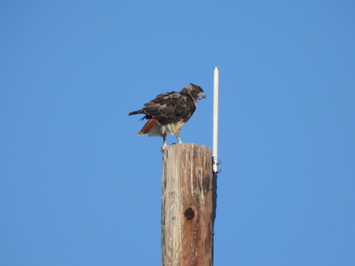
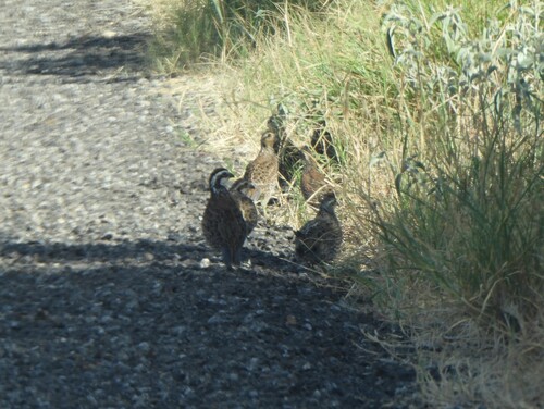
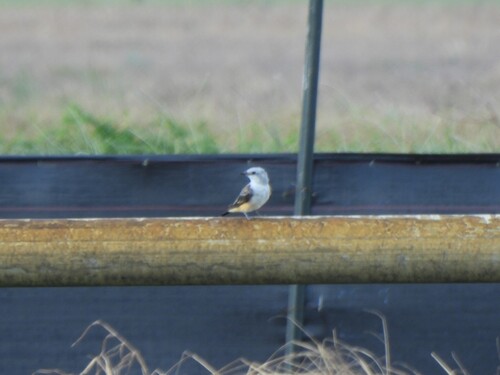
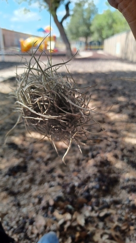
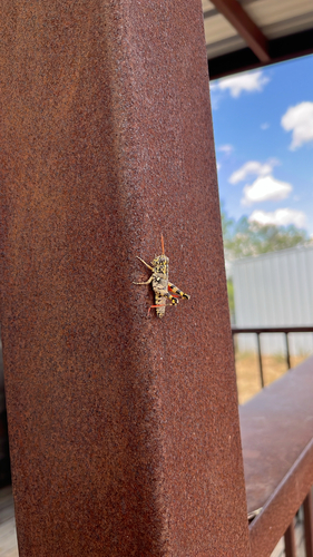

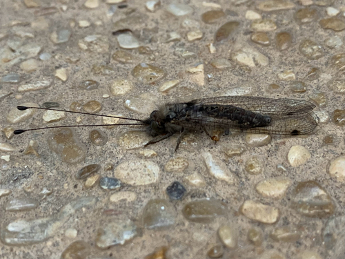
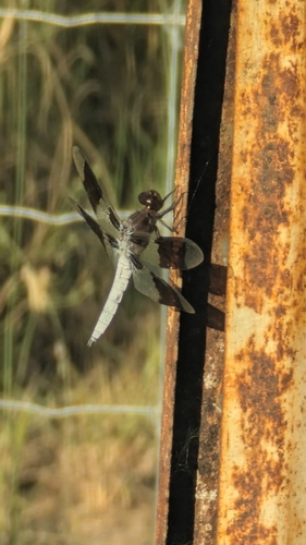
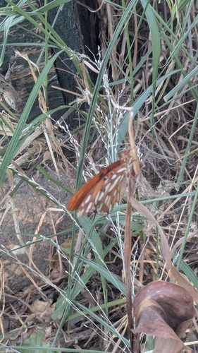
Research-grade observations from iNaturalist (within ~15 mi).
Nearest stream gauge
Events
Gallery
Sources
- • Wikipedia
- • US Census Bureau (ACS 5-year estimates)
- • NOAA National Weather Service
- • USGS Earthquake Catalog (global feed)
- • GBIF (Global Biodiversity Information Facility)
- • iNaturalist
- • Open-Meteo / sunrise-sunset.org
- • Wikipedia Pageviews API
- • NASA EONET