Browse / United States / Texas / Brownfield
Brownfield
Texascity

Brownfield
Total population
8,738
Median home value
$100,600
Bachelor's+
Median income
$42,150
Demographic figures from US Census Bureau · ACS 5-year estimates. Overview below cites Wikipedia and may reference a different year.
City facts
Facts from Wikidata (CC0).
Overview
Brownfield is a city in and the county seat of Terry County, Texas, United States. Its population was 8,936 at the 2020 census. Brownfield is 39 miles (63 km) southwest of Lubbock.
Read more on WikipediaHistory & geography
History
In 1903, town promoters W. G. Hardin and A. F. Small purchased the county's central lot, platted the site, and named the town after the Brownfield ranching family. To boost chances of becoming the county seat, they granted a lot to every county voter. The town's early years saw the construction of essential structures, including the courthouse, school, and churches. Hill's Hotel became the first business, housing the inaugural post office. On June 28, 1904, Brownfield secured the county seat designation, narrowly defeating Gomez in an election. The Brownfield State Bank opened in 1905, serving multiple counties and parts of eastern New Mexico.
Geography
According to the United States Census Bureau, Brownfield has an area of , 0.32% of which is covered by water. Brownfield lies in the center of Terry County, in the southern portion of the South Plains and Llano Estacado. The city rests on a windblown deposit called the Blackwater Draw Formation, which is underlain by a thick layer of caliche, referred to locally as the "caprock". Beneath the caliche layer lies fluvial deposits called the Ogallala Formation, which contains a portion of the Ogallala Aquifer. The Caprock Escarpment, about 50 miles east, forms a precipitous drop of about and exposes various geologic layers. In early days, climbing the Caprock Escarpment was not easy for horse-drawn covered wagons. The only terrain variation lies at the south end of the city, where Lost Draw carves a channel that runs across the entire county. Lost Draw formed over 10,000 years ago at the end of the last ice age, when the climate of the area was much wetter. When the vast glaciers of the north retreated, they left numerous dry river channels crisscrossing the Llano Estacado. When settlers during the 1800s ventured across this area, they often went into these channels expecting to find water, but unless significant rains had occurred recently, their search was in vain, with many of the parties becoming "lost", hence the name, Lost Draw. The most notable geographic feature of Brownfield is its red soil. The soil creates an almost iridescent red color during sunrise and sunset due to the high iron oxide content.
Excerpted from the corresponding Wikipedia article (CC BY-SA).
Demographics & economy
Race & ethnicity
Source: US Census Bureau — American Community Survey, 5-year estimates.
Geography
Coordinates & boundaries from the US Census TIGER/Line shapefiles.
Climate
Current forecast
Forecast for Brownfield, TX from NOAA NWS API.
Air quality
Industrial & pollution facilities
Natural hazard risk
Health (adults)
Age-adjusted prevalence estimates from CDC PLACES (latest release).
Walkability
Amenities nearby
Wildlife & biodiversity
Most-observed species
- Great-tailed GrackleQuiscalus mexicanus (Gmelin, 1788) · Aves235
- Mourning DoveZenaida macroura (Linnaeus, 1758) · Aves211
- Eurasian Collared-DoveStreptopelia decaocto (Frivaldszky, 1838) · Aves184
- Rock PigeonColumba livia J.F.Gmelin, 1789 · Aves121
- House SparrowPasser domesticus (Linnaeus, 1758) · Aves100
- MallardAnas platyrhynchos Linnaeus, 1758 · Aves100
- Western KingbirdTyrannus verticalis Say, 1823 · Aves96
- European StarlingSturnus vulgaris Linnaeus, 1758 · Aves90
Citizen-science & research observations from the Global Biodiversity Information Facility (GBIF).
Schools
Earthquake history
Most recent
- M 2.8 — 2026-07-0436 km SSW of Los Ybanez, Texas
- M 2.7 — 2026-05-1032 km SSW of Los Ybanez, Texas
- M 3 — 2026-02-2137 km SSW of Lamesa, Texas
- M 3.1 — 2026-02-193 km NNW of Denver City, Texas
- M 2.6 — 2025-12-0538 km NW of Stanton, Texas
- M 2.5 — 2025-11-0936 km ENE of McKinney Acres, Texas
Events from the USGS Earthquake Catalog (global) (FDSN Event Web Service).
Photos
Sights & places nearby
Notable people from here

People born within ~10 km, from Wikidata (CC0). Click any name for their Wikipedia article.
Nearby places in Texas
Geography & sun
Elevation, sunrise/sunset and daylight from Open-Meteo. Solar climatology from NASA POWER.
Nearby airports
Public attention
Pageview totals from the Wikimedia Pageviews API.
Books about Brownfield


Search results from Open Library.
Recent natural events nearby
- Wildfire Rustler, Motley, TexasWildfires · 2026-08-23 · 87 mi
- Wildfire CATO 2, Chaves, New MexicoWildfires · 2026-08-15 · 99 mi
- Wildfire Brown, Oldham, TexasWildfires · 2026-08-09 · 157 mi
- Wildfire Old Deer, Carson, TexasWildfires · 2026-08-23 · 169 mi
- Prescribed Fire RX Tom Green 7105, Tom Green, TexasWildfires · 2026-08-20 · 175 mi
- Prescribed Fire RX Tom Green 6687, Tom Green, TexasWildfires · 2026-08-10 · 175 mi
- Wildfire Harris, Throckmorton, TexasWildfires · 2026-08-31 · 185 mi
- Wildfire Fowl, Harding, New MexicoWildfires · 2026-09-02 · 187 mi
Wildfires, storms and other events from NASA EONET (last 12 months, within 250 mi).
Ground air-quality sensors
Recently spotted species
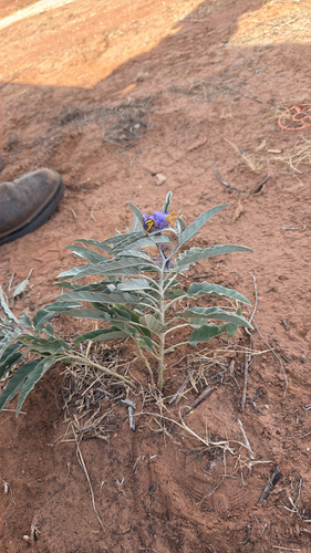
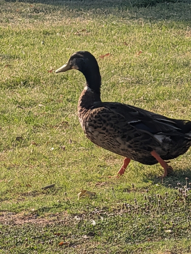
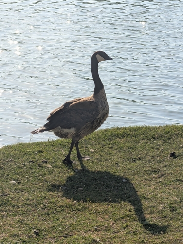
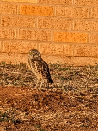
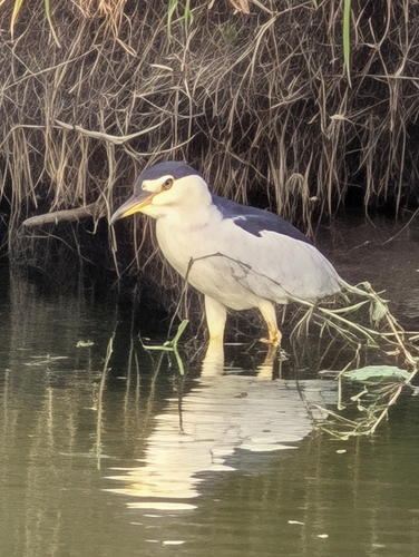
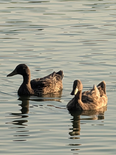
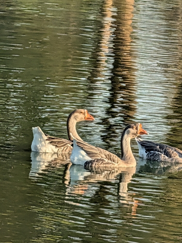
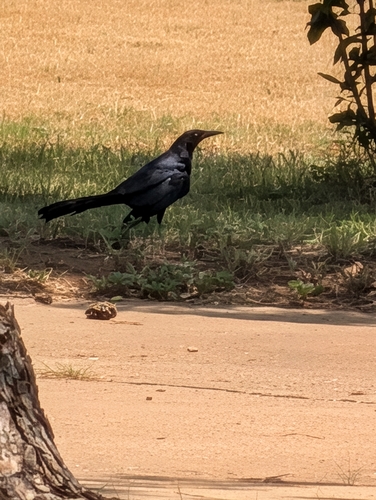
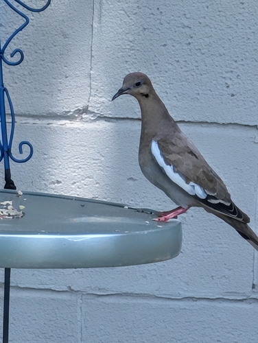
Research-grade observations from iNaturalist (within ~15 mi).
Nearest stream gauge
Events
Gallery
Sources
- • Wikipedia
- • US Census Bureau (ACS 5-year estimates)
- • NOAA National Weather Service
- • Wikidata
- • USGS Earthquake Catalog (global feed)
- • GBIF (Global Biodiversity Information Facility)
- • iNaturalist
- • CDC PLACES
- • Open-Meteo / sunrise-sunset.org
- • Wikipedia Pageviews API
- • Open Library
- • NASA EONET