Browse / United States / Texas / Brownwood
Brownwood
Texascity

Brownwood
Total population
18,777
Median home value
$144,400
Bachelor's+
Median income
$48,981
Demographic figures from US Census Bureau · ACS 5-year estimates. Overview below cites Wikipedia and may reference a different year.
City facts
Overview
Brownwood is a city in and the county seat of Brown County, Texas, United States. The population was 18,862 as of the 2020 census. Brownwood is in the Texas Hill Country and is home to Howard Payne University, which was founded in 1889.
Read more on WikipediaHistory & geography
History
The original site of the Brown County seat of Brownwood was east of Pecan Bayou. A dispute arose over land and water rights, and the settlers were forced to find a new location. Greenleaf Fisk donated to relocate the county seat to the west side of the bayou, on what is now the current site of Brownwood, and 100 additional acres for county use. The town was incorporated in 1884. During the Second World War, Brownwood was the location of U.S. Army Camp Bowie, which had a peak complement of over 80,000 soldiers. Camp Bowie serves as a training camp today at the intersection Farm-to-Market Roads 45 and 2126. On April 19, 1976, an F5 tornado struck near Brownwood, causing extensive damage, with 11 reported injuries, but no fatalities. Brownwood's census figures were re-evaluated after the 2000 census from 18,813 to reflect more accurate figures of 20,407. The city was categorized in 2003 as a micropolitan statistical area. The federal Office of Management and Budget has issued a definition of micropolitan statistical areas as "an urban cluster of at least 10,000, but less than 50,000 population, plus adjacent territory that has a high degree of social and economic integration with the core, as measured by commuting ties." A dispute over water rights created the adjacent city of Early. The two cities are separated by the Pecan Bayou, one of five major tributaries of the Colorado River of Texas.
Geography
Brownwood is south of the center of Brown County, west of the Pecan Bayou. It is bordered to the east by the city of Early. Several U.S. Highways pass through the city. Routes 84 and 67 lead west toward Bangs and Santa Anna. U.S. Route 377 leads southwest toward Brady. All three highways head east into Early, where 67 and 377 continue northeast toward Comanche, while 84 leads southeast toward Goldthwaite. Just over the city line in Early, U.S. Route 183 leads north to Cisco and Interstate 20, the closest Interstate highway. According to the United States Census Bureau, Brownwood has an area of , of which is land and , or 0.17%, is water.
Excerpted from the corresponding Wikipedia article (CC BY-SA).
Demographics & economy
Race & ethnicity
Source: US Census Bureau — American Community Survey, 5-year estimates.
Geography
Coordinates & boundaries from the US Census TIGER/Line shapefiles.
Climate
Air quality
Industrial & pollution facilities
Natural hazard risk
Health (adults)
Walkability
Amenities nearby
Wildlife & biodiversity
Schools
Earthquake history
Events from the USGS Earthquake Catalog (global) (FDSN Event Web Service).
Photos
Sights & places nearby
Notable people from here
Nearby places in Texas
Geography & sun
Elevation, sunrise/sunset and daylight from Open-Meteo. Solar climatology from NASA POWER.
Nearby airports
Public attention
Pageview totals from the Wikimedia Pageviews API.
Books about Brownwood

Search results from Open Library.
Recent natural events nearby
- Wildfire Kurk, San Saba, TexasWildfires · 2026-09-08 · 49 mi
- Wildfire Rio Escondido, Hamilton, TexasWildfires · 2026-08-24 · 53 mi
- Wildfire Bufford Creek, Stephens, TexasWildfires · 2026-08-10 · 75 mi
- Wildfire Ross, Palo Pinto, TexasWildfires · 2026-08-24 · 81 mi
- Wildfire Harris, Throckmorton, TexasWildfires · 2026-08-31 · 93 mi
- Prescribed Fire RX Tom Green 6687, Tom Green, TexasWildfires · 2026-08-10 · 96 mi
- Prescribed Fire RX Tom Green 7105, Tom Green, TexasWildfires · 2026-08-20 · 97 mi
- Wildfire West Fork, Sutton, TexasWildfires · 2026-08-28 · 116 mi
Wildfires, storms and other events from NASA EONET (last 12 months, within 250 mi).
Ground air-quality sensors
Recently spotted species
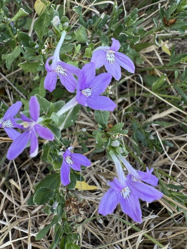
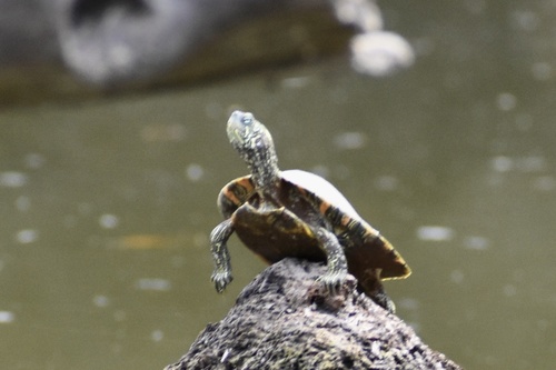
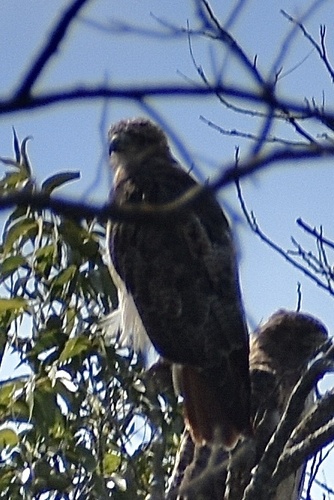
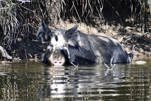
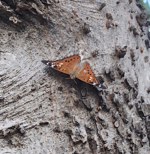
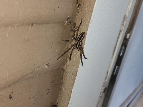
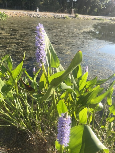
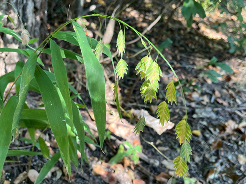
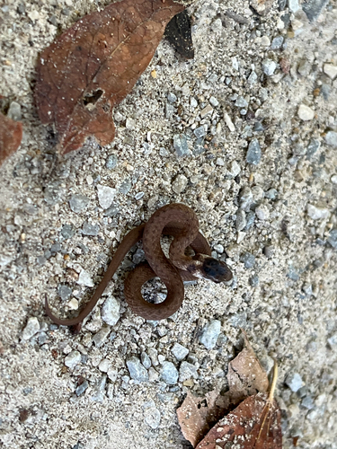
Research-grade observations from iNaturalist (within ~15 mi).
Nearest stream gauge
Live readings from USGS NWIS · measured 2026-09-17 15:00 UTC.
Events
Gallery
Sources
- • Wikipedia
- • US Census Bureau (ACS 5-year estimates)
- • USGS Earthquake Catalog (global feed)
- • USGS NWIS (water data)
- • iNaturalist
- • Open-Meteo / sunrise-sunset.org
- • Wikipedia Pageviews API
- • Open Library
- • NASA EONET