Browse / United States / Texas / Buffalo Gap
Buffalo Gap
Texastown

Buffalo Gap
Total population
534
Median home value
$201,300
Bachelor's+
Median income
$104,750
Air quality index
Demographic figures from US Census Bureau · ACS 5-year estimates. Overview below cites Wikipedia and may reference a different year.
City facts
Facts from Wikidata (CC0).
Overview
Buffalo Gap is a town in Taylor County, Texas, United States. It is part of the Abilene, Texas Metropolitan Statistical Area. The population was 543 at the 2020 census.
Read more on WikipediaHistory & geography
History
Buffalo Gap's roots trace back to the early 1870s, when Buffalo Soldiers arrived to hunt the bison herds migrating from Montana into Texas. The natural gap in the Callahan Divide provided an ideal passage for these herds, giving the town its name and early identity. According to some sources, Buffalo Gap was founded in 1875—a date proudly displayed on the City Hall reader board. By 1877, the town had grown enough to establish its own post office, with the population reaching 400 by the following year. The town's significance was further recognized when Governor Richard Hubbard declared Buffalo Gap the official county seat of Taylor County on July 3, 1878. As Buffalo Gap developed, new businesses and institutions emerged, including the construction of a courthouse, hotel, blacksmith shop, general store, newspaper, saloons, stables, and banks. In 1885, Buffalo Gap College opened, marking the town as a thriving center of education and commerce. However, in 1881, the arrival of the Texas & Pacific railway brought a significant shift. The railroad bypassed Buffalo Gap in favor of the flatter terrain in Abilene, leading to a change in growth and prosperity. While Abilene rapidly expanded, Buffalo Gap's growth slowed. Despite this, the town's residents remained deeply connected to their community. In the 1920s, the Old Settlers Picnic was established, becoming a cherished tradition that is still celebrated today at the Old Settlers Grounds—a site used for community events and the town's monthly flea market. In 1956, local resident Ernie Wilson purchased the original Taylor County Courthouse and founded the Museum of the Old West, now known as the Buffalo Gap Historic Village. This historical gem preserves the legacy of Buffalo Gap, offering visitors a glimpse into the…
Geography
According to the United States Census Bureau, the town has a total area of 2.4 square miles (6.3 km2), all land.
Excerpted from the corresponding Wikipedia article (CC BY-SA).
Demographics & economy
Race & ethnicity
Source: US Census Bureau — American Community Survey, 5-year estimates.
Geography
Coordinates & boundaries from the US Census TIGER/Line shapefiles.
Climate
Current forecast
Forecast for Buffalo Gap, TX from NOAA NWS API.
Air quality
Current readings from Open-Meteo Air Quality API (Copernicus CAMS European reanalysis).
Industrial & pollution facilities
Natural hazard risk
Health (adults)
Age-adjusted prevalence estimates from CDC PLACES (latest release).
Walkability
Amenities nearby
Wildlife & biodiversity
Most-observed species
- Northern CardinalCardinalis cardinalis (Linnaeus, 1758) · Aves2,366
- Northern MockingbirdMimus polyglottos (Linnaeus, 1758) · Aves2,087
- White-winged DoveZenaida asiatica (Linnaeus, 1758) · Aves2,078
- Great-tailed GrackleQuiscalus mexicanus (Gmelin, 1788) · Aves1,993
- Mourning DoveZenaida macroura (Linnaeus, 1758) · Aves1,942
- Blue JayCyanocitta cristata (Linnaeus, 1758) · Aves1,661
- House SparrowPasser domesticus (Linnaeus, 1758) · Aves1,389
- Red-winged BlackbirdAgelaius phoeniceus (Linnaeus, 1766) · Aves1,372
Citizen-science & research observations from the Global Biodiversity Information Facility (GBIF).
Schools
Earthquake history
Most recent
- M 2.7 — 2026-06-0616 km NNE of Hermleigh, Texas
- M 2.8 — 2026-06-0616 km NNE of Hermleigh, Texas
- M 2.6 — 2026-04-0417 km NE of Hermleigh, Texas
- M 2.6 — 2026-03-1611 km SW of Rotan, Texas
- M 2.9 — 2026-03-1410 km SW of Rotan, Texas
- M 3.3 — 2025-12-0217 km NE of Hermleigh, Texas
Events from the USGS Earthquake Catalog (global) (FDSN Event Web Service).
Photos
Sights & places nearby
Notable people from here

People born within ~10 km, from Wikidata (CC0). Click any name for their Wikipedia article.
Nearby places in Texas
- Clyde21.1 mi away · pop. 3,954
- Baird26.7 mi away · pop. 1,642
- Lueders37.8 mi away
- McCaulley40.6 mi away
- Hamlin45.4 mi away · pop. 2,011
- Loraine52 mi away
- Lake Brownwood53.5 mi away
- Breckenridge62.9 mi away · pop. 5,170
- Lake Colorado City64.6 mi away
- De Leon76.9 mi away · pop. 2,516
- Jayton79.5 mi away
- Goree83.8 mi away · pop. 131
Geography & sun
Elevation, sunrise/sunset and daylight from Open-Meteo. Solar climatology from NASA POWER.
Nearby airports
Public attention
Pageview totals from the Wikimedia Pageviews API.
Books about Buffalo Gap
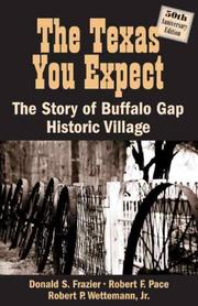

Search results from Open Library.
Recent natural events nearby
- Wildfire Lobo, Eastland, TexasWildfires · 2026-09-15 · 54 mi
- Wildfire Harris, Throckmorton, TexasWildfires · 2026-08-31 · 69 mi
- Wildfire Bufford Creek, Stephens, TexasWildfires · 2026-08-10 · 69 mi
- Prescribed Fire RX Tom Green 7105, Tom Green, TexasWildfires · 2026-08-20 · 87 mi
- Prescribed Fire RX Tom Green 6687, Tom Green, TexasWildfires · 2026-08-10 · 87 mi
- Wildfire Ross, Palo Pinto, TexasWildfires · 2026-08-24 · 93 mi
- Wildfire Kurk, San Saba, TexasWildfires · 2026-09-08 · 109 mi
- Wildfire Rio Escondido, Hamilton, TexasWildfires · 2026-08-24 · 114 mi
Wildfires, storms and other events from NASA EONET (last 12 months, within 250 mi).
Ground air-quality sensors
Recently spotted species
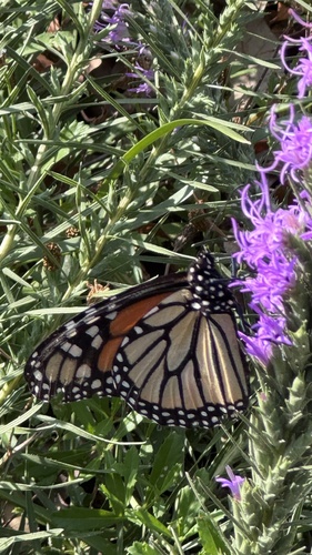
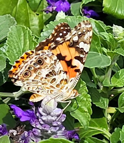
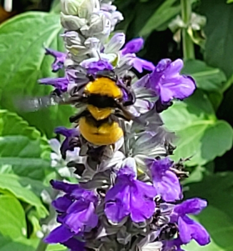
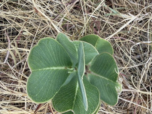
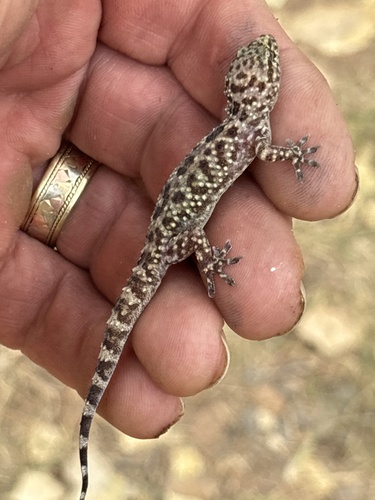
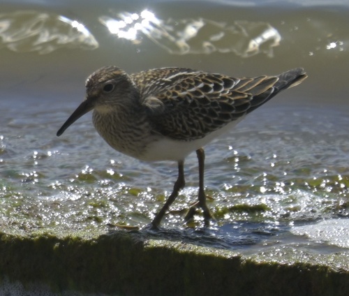
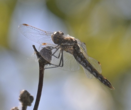
Research-grade observations from iNaturalist (within ~15 mi).
Nearest stream gauge
Events
Gallery
Sources
- • Wikipedia
- • US Census Bureau (ACS 5-year estimates)
- • NOAA National Weather Service
- • Wikidata
- • Open-Meteo Air Quality (CAMS)
- • USGS Earthquake Catalog (global feed)
- • GBIF (Global Biodiversity Information Facility)
- • iNaturalist
- • CDC PLACES
- • Open-Elevation
- • Open-Meteo / sunrise-sunset.org
- • Wikipedia Pageviews API
- • Open Library
- • NASA EONET