Browse / United States / Texas / Christoval
Christoval
TexasCDP

Christoval
Total population
490
Median home value
$167,100
Bachelor's+
Median income
$0
Demographic figures from US Census Bureau · ACS 5-year estimates. Overview below cites Wikipedia and may reference a different year.
City facts
Facts from Wikidata (CC0).
Overview
Christoval is a census-designated place (CDP) in Tom Green County, Texas, United States. As of the 2020 census, Christoval had a population of 482. It is part of the San Angelo, Texas, metropolitan statistical area.
Read more on WikipediaHistory & geography
History
The community, which has also been known as South Concho and Delong, is said to be named after early settler Christopher Columbus Doty. A post office was established in 1889, and a local school was operating by 1901. By 1914, Christoval had an estimated population of 200, two general stores, and a newspaper – the Christoval Observer. Through the 1930s, a Baptist encampment was held annually that attracted as many as 10,000 persons to the South Concho River area, and the mineral waters in nearby Christoval also attracted visitors and settlers. On September 17, 1936, a devastating flood hit the South Concho River. The flood destroyed the Baptist encampment facility, and parts of Christoval. Several people were killed in the flood, as they were swept away by the rapidly rising water. Following the flood, the encampment facilities were never rebuilt, and the property eventually became a public park. Playland Park was a popular local attraction from the 1950s through the 1980s. The park offered public access to the river, as well as boat rentals, a rope bridge, tree swings, and a concession stand. At its peak in the 1970s, the facility had amusement park rides and a small train. The facility was closed in the 1980s due to liability concerns and smaller crowds. Today, Pugh River Park and the historic, low-water river crossing on Loop 110 offer public access to the South Concho River. The population peaked at approximately 500 in the 1930s before declining to about 400 in the mid-1950s, and 200 by the mid-1970s. The rerouting of U.S. Highway 277 in 1987 was expected to bring a further decline, but the population was not significantly impacted by the change. In 2000, 29 businesses were operating in Christoval.
Geography
Christoval is located at (31.197614, -100.493296). It is situated about 20 miles south of San Angelo in southern Tom Green County around the area of Loop 110, U.S. Highway 277, and Ranch to Market Road 2084. According to the United States Census Bureau in 2000, the CDP has a total area of 1.2 sq mi (3.1 km), all land. Prior to the 2010 census, the CDP gained area, increasing to a total area of , all land as before. The South Concho River runs through Christoval, and serves as a water supply to the surrounding area. It was the location of a resort from the 1930s to the early 1960s, near where U.S. 277 crosses the river.
Excerpted from the corresponding Wikipedia article (CC BY-SA).
Demographics & economy
Race & ethnicity
Source: US Census Bureau — American Community Survey, 5-year estimates.
Geography
Coordinates & boundaries from the US Census TIGER/Line shapefiles.
Climate
Current forecast
Forecast for Christoval, TX from NOAA NWS API.
Air quality
Industrial & pollution facilities
Natural hazard risk
Health (adults)
Age-adjusted prevalence estimates from CDC PLACES (latest release).
Walkability
Amenities nearby
Wildlife & biodiversity
Most-observed species
- Northern CardinalCardinalis cardinalis (Linnaeus, 1758) · Aves655
- Turkey VultureCathartes aura (Linnaeus, 1758) · Aves552
- Black-crested TitmouseBaeolophus atricristatus (Cassin, 1850) · Aves459
- Mourning DoveZenaida macroura (Linnaeus, 1758) · Aves441
- House SparrowPasser domesticus (Linnaeus, 1758) · Aves360
- Northern MockingbirdMimus polyglottos (Linnaeus, 1758) · Aves357
- Black-chinned HummingbirdArchilochus alexandri (Bourcier & Mulsant, 1846) · Aves339
- Golden-fronted WoodpeckerMelanerpes aurifrons (Wagler, 1829) · Aves324
Citizen-science & research observations from the Global Biodiversity Information Facility (GBIF).
Schools
Earthquake history
Most recent
- M 3.3 — 2024-06-2326 km WNW of Robert Lee, Texas
- M 2.8 — 2024-05-0227 km E of Big Lake, Texas
Events from the USGS Earthquake Catalog (global) (FDSN Event Web Service).
Photos
Sights & places nearby
Notable people from here
People born within ~10 km, from Wikidata (CC0). Click any name for their Wikipedia article.
Nearby places in Texas
- Eldorado24 mi away · pop. 1,737
- Grape Creek26.7 mi away
- Brady68.1 mi away · pop. 5,230
- Garden City74.9 mi away
- Lake Colorado City83.6 mi away
- Iraan85.6 mi away
- Lake Brownwood92.3 mi away
- Clyde101.7 mi away · pop. 3,954
- Baird104.9 mi away · pop. 1,642
- Goldthwaite114.7 mi away
- Hamlin118.8 mi away · pop. 2,011
- Box Canyon121.6 mi away · pop. 19
Geography & sun
Elevation, sunrise/sunset and daylight from Open-Meteo. Solar climatology from NASA POWER.
Nearby airports
Public attention
Pageview totals from the Wikimedia Pageviews API.
Books about this place
Recent natural events nearby
- Prescribed Fire RX Tom Green 7105, Tom Green, TexasWildfires · 2026-08-20 · 3 mi
- Prescribed Fire RX Tom Green 6687, Tom Green, TexasWildfires · 2026-08-10 · 4 mi
- Wildfire Dry River, Sutton, TexasWildfires · 2026-09-15 · 48 mi
- Wildfire West Fork, Sutton, TexasWildfires · 2026-08-28 · 61 mi
- Wildfire McKee Draw, Edwards, TexasWildfires · 2026-08-29 · 71 mi
- Wildfire Clark, Edwards, TexasWildfires · 2026-09-16 · 88 mi
- Wildfire Kurk, San Saba, TexasWildfires · 2026-09-08 · 109 mi
- Wildfire Lobo, Eastland, TexasWildfires · 2026-09-15 · 125 mi
Wildfires, storms and other events from NASA EONET (last 12 months, within 250 mi).
Ground air-quality sensors
Recently spotted species
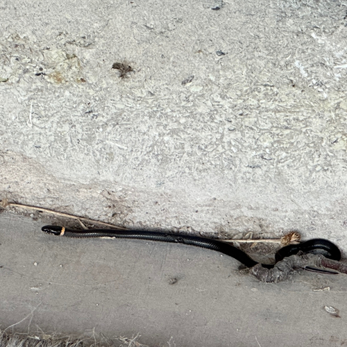
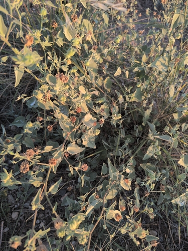
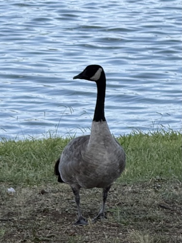
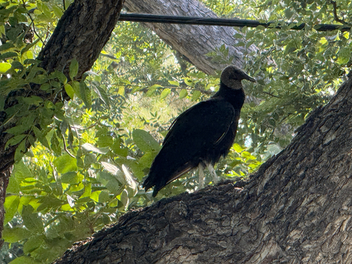
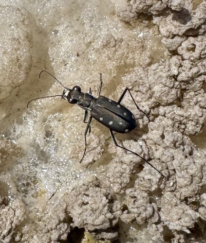
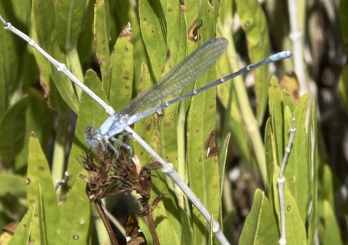
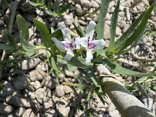
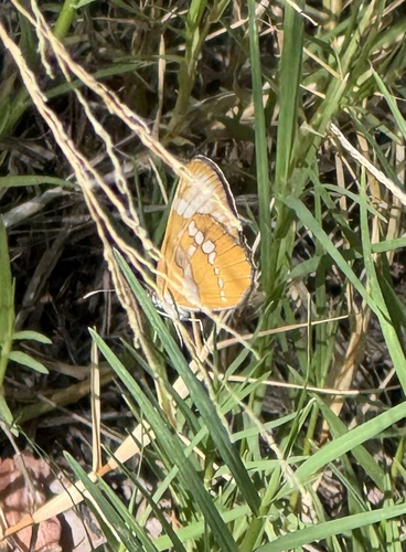
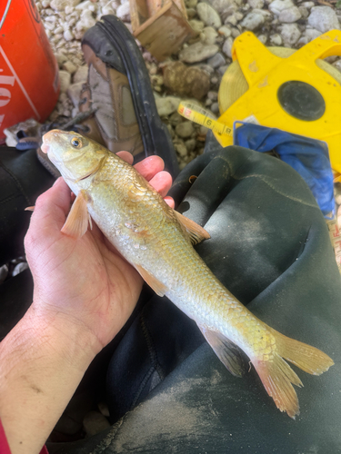
Research-grade observations from iNaturalist (within ~15 mi).
Nearest stream gauge
Events
Gallery
Sources
- • Wikipedia
- • US Census Bureau (ACS 5-year estimates)
- • NOAA National Weather Service
- • Wikidata
- • USGS Earthquake Catalog (global feed)
- • GBIF (Global Biodiversity Information Facility)
- • iNaturalist
- • CDC PLACES
- • Open-Meteo / sunrise-sunset.org
- • Wikipedia Pageviews API
- • NASA EONET