Browse / United States / Texas / Cooper
Cooper
Texascity

Cooper
Total population
2,055
Median home value
$100,500
Bachelor's+
Median income
$43,767
Founded
1870
Demographic figures from US Census Bureau · ACS 5-year estimates. Overview below cites Wikipedia and may reference a different year.
City facts
Facts from Wikidata (CC0).
Overview
Cooper is a city in and the county seat of Delta County, Texas, United States. Located between the north and south forks of the Sulphur River, Cooper is the largest settlement in Delta County. At the 2020 United States census, the city had a population of 1,911.
Read more on WikipediaHistory & geography
History
The first inhabitants of the area that is now the site of Cooper were the Caddo Indians, who settled large portions of eastern Texas as early as 800 CE. The Caddo were highly advanced, living in large wooden structures, and were skilled farmers. The first European to visit the area was French explorer François Hervey, who discovered the area around 1750. However, a few decades later, some of the Indians caught European diseases and along with attacks from neighboring Indian tribes, forced the Caddo out of the area around Cooper. Around 1820, Delaware, Quapaw, and Seminole tribes settled in the area. In 1836, the Republic of Texas officially recognized the region around Cooper as part of Red River County. In 1840, Lamar County was formed, absorbing the Cooper area. However, just six years later, the region was designated as part of the newly formed Hopkins County. After the Civil War, the region around the site of Cooper began to grow and develop. People in nearby Ben Franklin, Texas, grew tired of the poor road conditions that connected the region. In 1868, people in the area petitioned the state government to create a new county located between the north and south forks of the Sulphur River. On July 29, 1870, after two years of debating, the state of Texas granted the request for the new county. Shortly afterwards, the first settlements were built in Cooper and the town was established. The community was named after Leroy Cooper, the chairman of the Texas House Committee on Counties and Boundaries, who helped establish the new county. Cooper was selected as the seat for the county, which was named Delta County due to its triangular shape. Cooper grew rapidly after being established, with a post office built in the community in 1871. Cooper was incorporated into a…
Geography
Cooper is the county seat of Delta County, as well as its most populated city. According to statistics from the United States Census Bureau, the city has a total area of , of which (99.31%) is land. About (0.69%) is covered by water. Cooper is located at an elevation of , a few miles north of Cooper Lake, between the north and south forks of the Sulphur River. It is located about northeast of Dallas and west of Texarkana. Texas State Highway 24 bypasses Cooper to the north; however, Texas State Highway 24 Business splits off and passes through the center of the city. Texas State Highway 154 begins at the western edge of Cooper and passes through the center of the city, intersecting Farm to Market Road 1528 near the county courthouse. Farm to Market Road 64 enters the very western portion of Cooper before terminating at State Highway 24. Nearby highways include Farm to Market Road 1880 and Farm to Market Road 1529. The average temperature in Cooper in January is , and in July it is . Its highest recorded temperature was in 1969, and the lowest recorded temperature was in 1989. The average wettest month is October. The average coolest month is January, while the average hottest month is August.
Excerpted from the corresponding Wikipedia article (CC BY-SA).
Demographics & economy
Race & ethnicity
Source: US Census Bureau — American Community Survey, 5-year estimates.
Geography
Coordinates & boundaries from the US Census TIGER/Line shapefiles.
Climate
Current forecast
Forecast for Cooper, TX from NOAA NWS API.
Air quality
Industrial & pollution facilities
Natural hazard risk
Health (adults)
Walkability
Amenities nearby
Wildlife & biodiversity
Most-observed species
- Northern CardinalCardinalis cardinalis (Linnaeus, 1758) · Aves599
- American CrowCorvus brachyrhynchos C.L.Brehm, 1822 · Aves552
- Turkey VultureCathartes aura (Linnaeus, 1758) · Aves494
- Carolina ChickadeePoecile carolinensis (Audubon, 1834) · Aves426
- Tufted TitmouseBaeolophus bicolor (Linnaeus, 1766) · Aves387
- Carolina WrenThryothorus ludovicianus (Latham, 1790) · Aves366
- Blue JayCyanocitta cristata (Linnaeus, 1758) · Aves348
- Black VultureCoragyps atratus (Bechstein, 1793) · Aves329
Citizen-science & research observations from the Global Biodiversity Information Facility (GBIF).
Schools
Earthquake history
Most recent
- M 2.6 — 2013-12-136 km SSW of Pottsboro, Texas
Events from the USGS Earthquake Catalog (global) (FDSN Event Web Service).
Photos
Sights & places nearby
Notable people from here
People born within ~10 km, from Wikidata (CC0). Click any name for their Wikipedia article.
Nearby places in Texas
Geography & sun
Elevation, sunrise/sunset and daylight from Open-Meteo. Solar climatology from NASA POWER.
Nearby airports
Public attention
Pageview totals from the Wikimedia Pageviews API.
Books about Cooper



Search results from Open Library.
Recent natural events nearby
- Wildfire Tram Trail, Pushmataha, OklahomaWildfires · 2026-09-14 · 65 mi
- Wildfire Atoka Lake, Atoka, OklahomaWildfires · 2026-09-14 · 76 mi
- Wildfire Buck Creek, Pushmataha, OklahomaWildfires · 2026-08-25 · 78 mi
- Wildfire Alexander Trail Fire, Pushmataha, OklahomaWildfires · 2026-08-30 · 80 mi
- Wildfire Alexander Trail, Pushmataha, OklahomaWildfires · 2026-08-30 · 80 mi
- Wildfire Snake Mountain, Pushmataha, OklahomaWildfires · 2026-08-14 · 82 mi
- Wildfire WRIGHT, Hughes, OklahomaWildfires · 2026-08-29 · 130 mi
- Wildfire PINTO, Stephens, OklahomaWildfires · 2026-09-08 · 131 mi
Wildfires, storms and other events from NASA EONET (last 12 months, within 250 mi).
Ground air-quality sensors
Recently spotted species
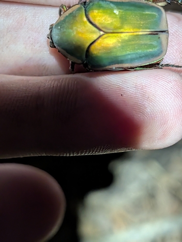
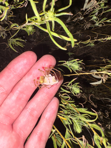
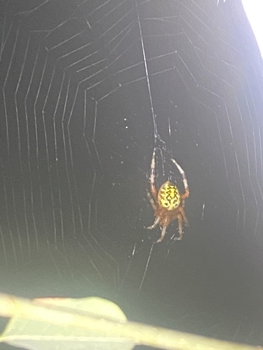
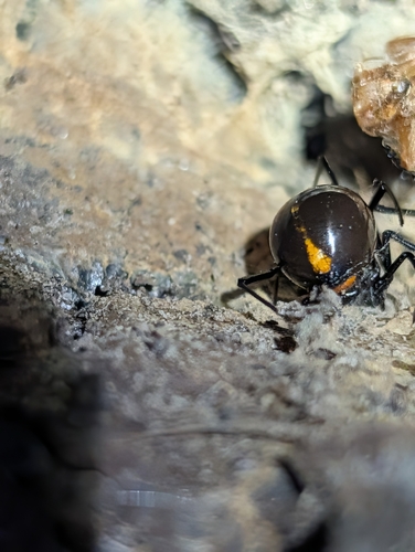
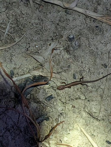
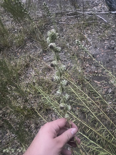
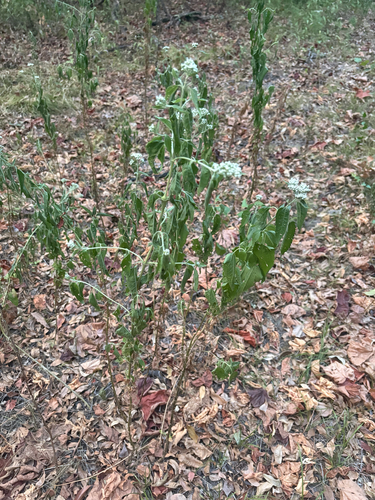
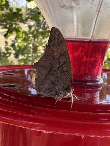
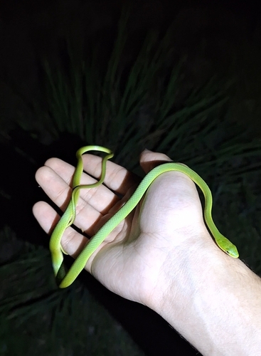
Research-grade observations from iNaturalist (within ~15 mi).
Nearest stream gauge
Live readings from USGS NWIS · measured 2026-10-16 20:15 UTC.
Events
Gallery
Sources
- • Wikipedia
- • US Census Bureau (ACS 5-year estimates)
- • NOAA National Weather Service
- • Wikidata
- • USGS Earthquake Catalog (global feed)
- • USGS NWIS (water data)
- • GBIF (Global Biodiversity Information Facility)
- • iNaturalist
- • Open-Meteo / sunrise-sunset.org
- • Wikipedia Pageviews API
- • Open Library
- • NASA EONET