Browse / United States / Texas / Corpus Christi
Corpus Christi
Texascity

Corpus Christi
Total population
317,314
Median home value
$234,000
Bachelor's+
Median income
$66,967
Founded
1839
Demographic figures from US Census Bureau · ACS 5-year estimates. Overview below cites Wikipedia and may reference a different year.
- Coastal Flood Advisory · MinorCoastal Flood Advisory issued October 16 at 6:11AM CDT until October 18 at 7:00AM CDT by NWS Corpus Christi TX
- Rip Current Statement · ModerateRip Current Statement issued October 16 at 6:11AM CDT until October 17 at 7:00PM CDT by NWS Corpus Christi TX
- Wind Advisory · ModerateWind Advisory issued October 15 at 8:38PM CDT until October 17 at 1:00PM CDT by NWS Corpus Christi TX
Source: NOAA National Weather Service.
City facts
Facts from Wikidata (CC0).
Overview
Corpus Christi is a coastal city in the U.S. state of Texas. It is the county seat and largest city of Nueces County in South Texas, with portions extending into Aransas, Kleberg, and San Patricio counties. With a population of 317,247 as of July 1, 2025, it is the eighth-most populous city in Texas.
Read more on WikipediaHistory & geography
History
Spaniard Alonso Alvarez de Pineda traveled in 1519 to this bay on the day of the religious Feast of Corpus Christi, so named the semitropical bay Corpus Christi. Cabeza de Vaca and his companions may have been the first Europeans to reach Corpus Christi in the 1500s, the first documented exploration of the Nueces River and Corpus Christi Bay was conducted by Joaquín de Orobio y Basterra in 1747. In 1749, José de Escandón, governor and captain general of Nuevo Santander, proposed establishing a settlement called Villa de Vedoya near the mouth of the Nueces River. He organized a colony of about 50 families to settle the head of the bay, though this was short-lived. A prolonged drought and inadequate supplies caused the effort to be abandoned before settlers reached their destination. Additional settlement proposals followed during the late 18th century and early 19th century. Manuel de Escandón proposed another colony in 1787, and Spanish authorities considered relocating Nuestra Señora del Refugio Mission to the area, but these plans were never realized. During the 1830s, Baron Johann von Rachnitz and abolitionist Benjamin Lundy separately proposed colonies near the mouth of the Nueces River, though the effort never succeeded. In 1839, the first known permanent settlement of Corpus Christi was established by Colonel Henry Lawrence Kinney and William P. Aubrey as Kinney's Trading Post, or Kinney's Ranch. It was a small trading post that sold supplies to a Mexican revolutionary army camped about west. In July 1845, U.S. troops commanded by General Zachary Taylor set up camp there in preparation for war with Mexico, where they remained until March 1846. About a year later, the settlement was named Corpus Christi and was incorporated on September 9, 1852. The Battle…
Geography
Corpus Christi is situated on fluvial deposits that are of Holocene—Pleistocene age. Although no solidified rock occurs naturally at the surface, the Deweyville Formation of sand, silt, clay, and gravel, is locally indurated with calcium carbonate (caliche) deposits. In 2017, Hurricane Harvey's storm surge eroded down to shale bedrock at a depth around 40 feet in Packery Channel, an artificial pass cut between North Padre and Mustang Islands. This feature has become a gathering place for game fish, and can be identified from the surface by its whirlpool-like current. The large, shallow bay makes Corpus Christi an ideal feeding place for birds, which is one reason why Corpus Christi is known as the "Bird Capital" of North America; consequently, the San Diego Audubon Society has designated Corpus Christi as "America's birdiest place". According to the United States Census Bureau, Corpus Christi has a total area of 460.2 square miles (1,192.0 km2), of which 154.6 mi2 (400.5 km2, 33.60%) are land and 305.6 mi2 (791.5 km2, 66.40%) are covered by water. Since its founding, the city has annexed nearby lands and waters for growth and development purposes. The original area encompassed several city blocks in present-day downtown Corpus Christi with the majority of city expansion occurring in the 20th century. * Annaville * Clarkwood * Bayside * Calallen * Flour Bluff * Gardendale * Hillcrest * North Beach * South Side * Mustang Island * North Padre Island * Portland * Robstown * Aransas Pass * Port Aransas * Sinton * Odem * Gregory * Mathis * Taft * Ingleside * Agua Dulce * Bishop Corpus Christi has a humid subtropical climate (Köppen: Cfa), with hot and humid summers, and short mild winters. The period from November through February is the…
Excerpted from the corresponding Wikipedia article (CC BY-SA).
Demographics & economy
Race & ethnicity
Source: US Census Bureau — American Community Survey, 5-year estimates.
Geography
Coordinates & boundaries from the US Census TIGER/Line shapefiles.
Climate
Current forecast
Forecast for Corpus Christi, TX from NOAA NWS API.
Air quality
Industrial & pollution facilities
Natural hazard risk
Health (adults)
Walkability
Amenities nearby
Wildlife & biodiversity
Most-observed species
- Laughing GullLeucophaeus atricilla (Linnaeus, 1758) · Aves44,510
- Great-tailed GrackleQuiscalus mexicanus (Gmelin, 1788) · Aves37,611
- Great Blue/Cocoi HeronArdea herodias Linnaeus, 1758 · Aves29,412
- Brown PelicanPelecanus occidentalis Linnaeus, 1766 · Aves28,699
- Great EgretArdea alba Linnaeus, 1758 · Aves26,506
- WilletTringa semipalmata (J.F.Gmelin, 1789) · Aves22,956
- White IbisEudocimus albus (Linnaeus, 1758) · Aves22,858
- Snowy EgretEgretta thula (Molina, 1782) · Aves21,621
Citizen-science & research observations from the Global Biodiversity Information Facility (GBIF).
Schools
Earthquake history
Most recent
- M 3.9 — 2010-04-2510 km WNW of Driscoll, Texas
Events from the USGS Earthquake Catalog (global) (FDSN Event Web Service).
Photos
Sights & places nearby
Notable people from here
Nearby places in Texas
- Ingleside on the Bay6 mi away
- Ingleside8.3 mi away
- Aransas Pass11.9 mi away
- Loma Linda26.5 mi away · pop. 340
- La Paloma Addition27 mi away
- Holiday Beach30.3 mi away
- La Paloma-Lost Creek34.7 mi away
- Banquete38.2 mi away · pop. 619
- Mathis45.7 mi away
- Lakeside48.4 mi away
- K-Bar Ranch48.9 mi away
- Lakeshore Gardens-Hidden Acres49.7 mi away
Geography & sun
Elevation, sunrise/sunset and daylight from Open-Meteo. Solar climatology from NASA POWER.
Nearby airports
Public attention
Pageview totals from the Wikimedia Pageviews API.
Books about Corpus Christi

Search results from Open Library.
Recent natural events nearby
- Wildfire Dos Pistolas, Brooks, TexasWildfires · 2026-08-11 · 85 mi
- Wildfire Breezy, Starr, TexasWildfires · 2026-09-16 · 130 mi
- Wildfire SAN FRANCISCO 2, Starr, TexasWildfires · 2026-09-30 · 138 mi
- Wildfire Star Lake, Jefferson, TexasWildfires · 2026-09-11 · 225 mi
- Wildfire Clark, Edwards, TexasWildfires · 2026-09-16 · 244 mi
- Wildfire Kurk, San Saba, TexasWildfires · 2026-09-08 · 245 mi
Wildfires, storms and other events from NASA EONET (last 12 months, within 250 mi).
Ground air-quality sensors
Recently spotted species
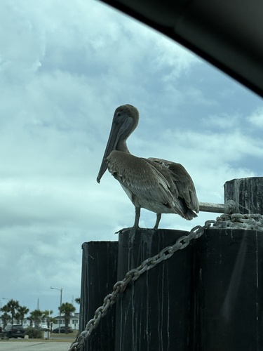
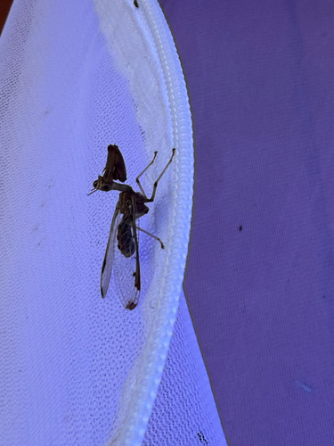
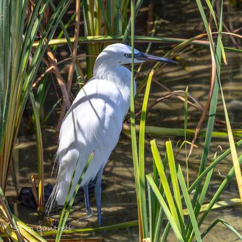
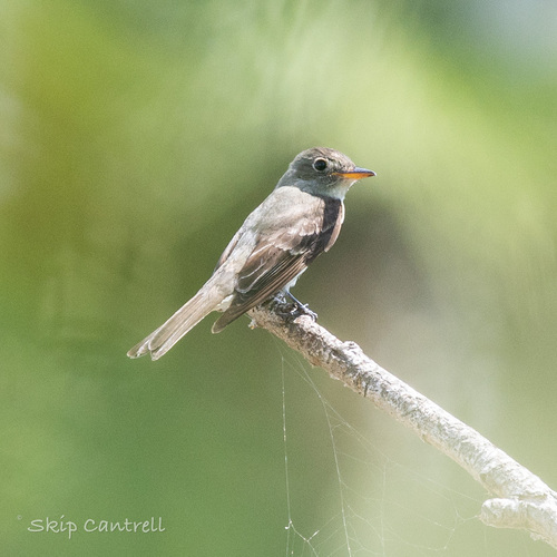
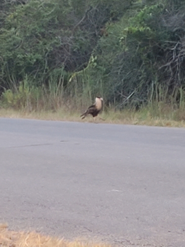
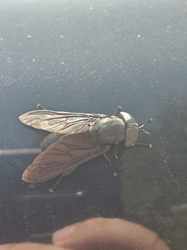
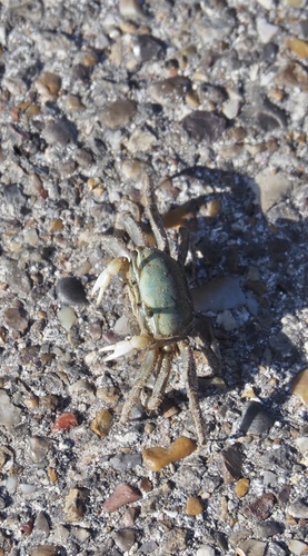
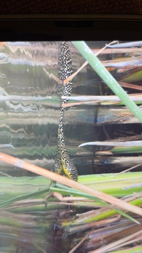
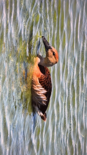
Research-grade observations from iNaturalist (within ~15 mi).
Nearest stream gauge
Live readings from USGS NWIS · measured 2026-10-16 10:15 UTC.
Events
Gallery
Sources
- • Wikipedia
- • US Census Bureau (ACS 5-year estimates)
- • NOAA National Weather Service
- • Wikidata
- • USGS Earthquake Catalog (global feed)
- • USGS NWIS (water data)
- • GBIF (Global Biodiversity Information Facility)
- • iNaturalist
- • Open-Meteo / sunrise-sunset.org
- • Wikipedia Pageviews API
- • Open Library
- • NASA EONET