Browse / United States / Texas / Flower Mound
Flower Mound
Texastown

Flower Mound
Total population
78,389
Median home value
$560,200
Bachelor's+
Median income
$161,235
Demographic figures from US Census Bureau · ACS 5-year estimates. Overview below cites Wikipedia and may reference a different year.
City facts
Overview
Flower Mound is an incorporated town located in Denton and Tarrant counties in the U.S. state of Texas. Located northwest of Dallas and northeast of Fort Worth adjacent to Grapevine Lake, the town derives its name from a prominent 12.5-acre (5.1 ha) mound located in the center of town.
Read more on WikipediaHistory & geography
History
Settlement in the area around Flower Mound began when the Presbyterians established a camp in the area in the 1840s. A log cabin, dated around 1850, was discovered preserved within the walls of a home near Liberty Elementary in 2016, providing further proof of settlement. At first, the group held religious camps for two to three weeks at a time. By 1854, residents had established the Flower Mound Presbyterian Church southwest of Lewisville in an area commonly referred to as "Long Prairie". By 1920, the church had 126 members, and the pine-framed building was expanded in 1937. Early settlers such as Andrew Morriss and David Kirkpatrick are memorialized with street names in the town. The area remained sparsely populated for many decades after its initial settlement. On February 25, 1961, the town voted to incorporate to avoid annexation by the City of Irving. William Wilkerson, who became the town's second mayor, led the incorporation effort and helped improve the town's phone service and water supply. In 1970, when Flower Mound had 1,685 residents, Edward S. Marcus and Raymond Nasher began a planned community project with $18 million in loan guarantees from the United States Department of Housing and Urban Development through their New Community program. Called "Flower Mound New Town", the project included elements of the new towns movement, including collaboration with North Texas State University (now the University of North Texas) to move the school's administrative offices to Flower Mound and conduct all research for the project. The project was featured in advertisements as late as 1974, but it was abandoned after residents threatened to disannex a portion of the town to thwart the development. The disannexation effort sharply divided the town, and led to a number…
Geography
Flower Mound is located approximately northwest of Dallas and northeast of Fort Worth on the border between Denton and Tarrant counties. The town is located almost entirely in Denton County, however it has areas that extend into Tarrant County. It is situated on the basin of the Trinity River in the Eastern Cross Timbers subregion in Texas. The town borders Lewisville to the east and a number of cities and towns to the north, including Highland Village, Double Oak, and Bartonville. According to the United States Census Bureau, the town has a total area of . Land comprises (95.37%) of the total area; Denton County soils include the Silawa, Nawo, Gasil series. Water comprises (5.76%) of the total area; Grapevine Lake and Marshall Creek form much of the town's southern boundary. Flower Mound's climate is classified as humid subtropical; the town averages 233 sunny days per year and 79 days of precipitation. The town encourages conservation development projects to protect and preserve existing open space, vistas, and natural habitats while allowing for controlled growth. Much of the town is located on the Barnett Shale, and drilling for shale gas in close proximity to residential neighborhoods has sharply divided parts of the community. In 1994, amateur fossil collector Gary Byrd discovered a fossilized example of a Hadrosaurid dinosaur among black shale rock formations in the southwestern edge of the town, near Grapevine Lake. The fossilized creature from the Cenomanian age was named "Protohadros byrdi" in Byrd's honor. Flower Mound was named for a hill approximately in height located close to the intersection of FM 3040 and FM 2499. The formation attracted the attention of early settlers to the area, and is often simply referred to as "The Mound". Part of the…
Excerpted from the corresponding Wikipedia article (CC BY-SA).
Demographics & economy
Race & ethnicity
Source: US Census Bureau — American Community Survey, 5-year estimates.
Geography
Coordinates & boundaries from the US Census TIGER/Line shapefiles.
Climate
Current forecast
Forecast for Flower Mound, TX from NOAA NWS API.
Air quality
Industrial & pollution facilities
Natural hazard risk
Health (adults)
Age-adjusted prevalence estimates from CDC PLACES (latest release).
Walkability
Amenities nearby
Wildlife & biodiversity
Most-observed species
- Northern CardinalCardinalis cardinalis (Linnaeus, 1758) · Aves19,132
- Blue JayCyanocitta cristata (Linnaeus, 1758) · Aves15,003
- American CrowCorvus brachyrhynchos C.L.Brehm, 1822 · Aves14,006
- Mourning DoveZenaida macroura (Linnaeus, 1758) · Aves13,119
- Carolina ChickadeePoecile carolinensis (Audubon, 1834) · Aves11,831
- House FinchHaemorhous mexicanus (P.L.Statius Müller, 1776) · Aves11,426
- Northern MockingbirdMimus polyglottos (Linnaeus, 1758) · Aves11,270
- MallardAnas platyrhynchos Linnaeus, 1758 · Aves10,695
Citizen-science & research observations from the Global Biodiversity Information Facility (GBIF).
Schools
Largest nearby schools
- LEWISVILLE H SHigh · LEWISVILLE · 4,240 students · 14.6:1 ratio
- FLOWER MOUND H SHigh · FLOWER MOUND · 3,542 students · 16.2:1 ratio
- MARCUS H SHigh · FLOWER MOUND · 3,005 students · 15:1 ratio
- BYRON NELSON H SHigh · TROPHY CLUB · 2,809 students · 18.2:1 ratio
- GUYER H SHigh · DENTON · 2,554 students · 14.2:1 ratio
- PREMIER H S ONLINEHigh · LEWISVILLE · 2,107 students · 11.9:1 ratio
- ARGYLE H SHigh · FLOWER MOUND · 1,477 students · 15.5:1 ratio
- LAKE DALLAS H SHigh · CORINTH · 1,293 students · 15.8:1 ratio
Public K–12 schools within ~10 mi from Urban Institute Education Data Portal (NCES Common Core of Data, 2022).
Earthquake history
Most recent
- M 3.1 — 2024-05-017 km SSW of Mansfield, Texas
- M 3.2 — 2024-05-017 km S of Mansfield, Texas
- M 3.2 — 2019-10-018 km SSW of Mansfield, Texas
- M 2.5 — 2019-07-084 km SSE of Rendon, Texas
- M 2.8 — 2019-06-241 km NW of Pottsboro, Texas
- M 2.7 — 2018-12-217 km W of Chico, Texas
Events from the USGS Earthquake Catalog (global) (FDSN Event Web Service).
Photos
Sights & places nearby
Notable people from here


People born within ~10 km, from Wikidata (CC0). Click any name for their Wikipedia article.
Nearby places in Texas
- Double Oak1.7 mi away
- Bartonville3.8 mi away
- Copper Canyon4.2 mi away
- Hickory Creek6.8 mi away
- Justin12 mi away · pop. 5,447
- Hackberry13.7 mi away
- Haslet13.9 mi away · pop. 3,280
- Aubrey20.2 mi away · pop. 7,396
- Dalworthington Gardens24.4 mi away
- Cockrell Hill24.5 mi away
- Azle26.6 mi away
- Forest Hill27.4 mi away
Geography & sun
Elevation, sunrise/sunset and daylight from Open-Meteo. Solar climatology from NASA POWER.
Nearby airports
Public attention
Pageview totals from the Wikimedia Pageviews API.
Books about Flower Mound



Search results from Open Library.
Recent natural events nearby
- Wildfire Ross, Palo Pinto, TexasWildfires · 2026-08-24 · 74 mi
- Wildfire Hydra, Bosque, TexasWildfires · 2026-09-14 · 88 mi
- Wildfire PINTO, Stephens, OklahomaWildfires · 2026-09-08 · 99 mi
- Wildfire Bufford Creek, Stephens, TexasWildfires · 2026-08-10 · 101 mi
- Wildfire Atoka Lake, Atoka, OklahomaWildfires · 2026-09-14 · 111 mi
- Wildfire Lobo, Eastland, TexasWildfires · 2026-09-15 · 114 mi
- Wildfire Harris, Throckmorton, TexasWildfires · 2026-08-31 · 114 mi
- Wildfire Rio Escondido, Hamilton, TexasWildfires · 2026-08-24 · 122 mi
Wildfires, storms and other events from NASA EONET (last 12 months, within 250 mi).
Ground air-quality sensors
Recently spotted species
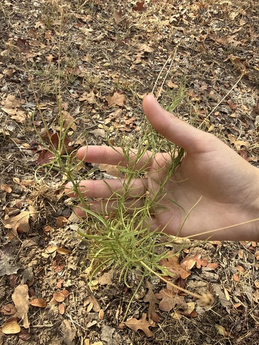
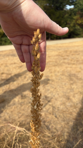
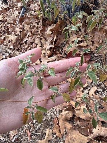
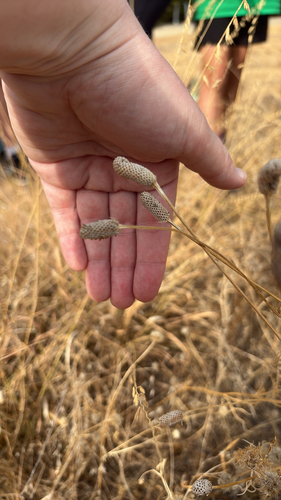
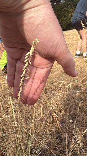
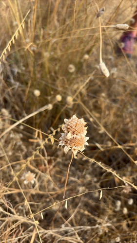
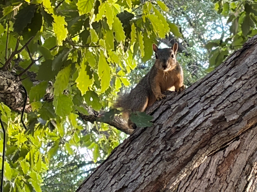
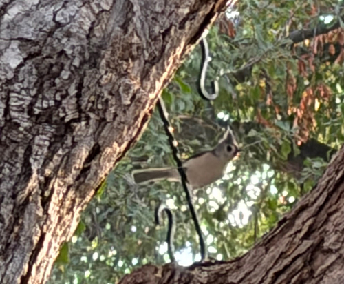
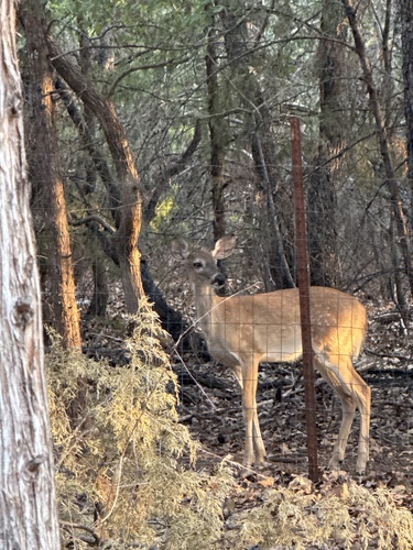
Research-grade observations from iNaturalist (within ~15 mi).
Nearest stream gauge
Events
Gallery
Sources
- • Wikipedia
- • US Census Bureau (ACS 5-year estimates)
- • NOAA National Weather Service
- • Wikidata
- • USGS Earthquake Catalog (global feed)
- • NCES via Urban Institute Education Data Portal
- • GBIF (Global Biodiversity Information Facility)
- • iNaturalist
- • CDC PLACES
- • Open-Meteo / sunrise-sunset.org
- • Wikipedia Pageviews API
- • Open Library
- • NASA EONET