Browse / United States / Texas / Fort Stockton
Fort Stockton
Texascity

Fort Stockton
Total population
8,278
Founded
1859
Demographic figures from US Census Bureau · ACS 5-year estimates. Overview below cites Wikipedia and may reference a different year.
City facts
Facts from Wikidata (CC0).
Overview
Fort Stockton is a city in and the county seat of Pecos County, Texas, United States. It is located on Interstate 10, future Interstate 14, U.S. Highways 67, 285, and 385, and the Santa Fe Railroad, 329 mi (529 km) northwest of San Antonio and 240 mi (390 km) southeast of El Paso. Its population was 8,466 at the 2020 census.
Read more on WikipediaHistory & geography
History
Fort Lancaster sent 1st Infantry Co. H "to take post" along Comanche Springs on 12 April 1859. Fort Stockton (named Camp Stockton until 1860) grew up around Comanche Springs, one of the largest sources of spring water in Texas. The fort was named for Robert F. Stockton. Comanche Springs was a favorite rest stop on the Great Comanche Trail to Chihuahua, San Antonio-El Paso Road, and the Butterfield Overland Mail route. On October 2, 1859, the well-known journalist and author (and future Union spy) Albert D. Richardson passed through Camp Stockton, which he described as "a military post of three or four edifices with pearly, misty mountains in the background." In 1861, the fort was garrisoned by 39 men of Company C, 8th Infantry, under the command of Capt. Arthur Tracy Lee, who evacuated the fort by April. "Subposts or intermediate stations" also were used, including Bothwick's Station on Salt Creek between Fort Richardson and Fort Belknap, Camp Wichita near Buffalo Springs between Fort Richardson and Red River Station, and Mountain Pass between Fort Concho and Fort Griffin. On 21 July 1867, Fort Stockton was reoccupied by Companies A, B, E, and K of the 9th U.S. Cavalry Regiment, buffalo soldiers under the command of General Edward Hatch, while a new fort was built one-half mile north of the first post, on the west side of the creek. Fort Stockton was eventually served by the Kansas City, Mexico and Orient Railway at the beginning of the twentieth century. Fort Stockton is southwest of Midland International Airport. The town is within driving distance of the Big Bend country, including Big Bend National Park, , and the Big Bend Ranch State Park, , as well as the scenery of numerous day-drive locations in the area.
Geography
According to the United States Census Bureau, the city has a total area of , all land. According to the Köppen Climate Classification system, Fort Stockton has a hot semi-arid climate, abbreviated "BSh" on climate maps. The hottest temperature recorded in Fort Stockton was on June 29, 1994, while the coldest temperature recorded was on February 2, 1985. |source 2 = National Weather Service }}
Excerpted from the corresponding Wikipedia article (CC BY-SA).
Demographics & economy
Geography
Coordinates & boundaries from the US Census TIGER/Line shapefiles.
Climate
Air quality
Industrial & pollution facilities
Natural hazard risk
Health (adults)
Walkability
Amenities nearby
Wildlife & biodiversity
Schools
Earthquake history
Photos
Sights & places nearby
Notable people from here


People born within ~10 km, from Wikidata (CC0). Click any name for their Wikipedia article.
Nearby places in Texas
Geography & sun
Elevation, sunrise/sunset and daylight from Open-Meteo. Solar climatology from NASA POWER.
Nearby airports
Public attention
Pageview totals from the Wikimedia Pageviews API.
Books about Fort Stockton
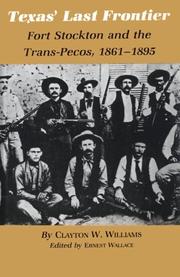
Search results from Open Library.
Recent natural events nearby
- Wildfire Dry River, Sutton, TexasWildfires · 2026-09-15 · 129 mi
- Prescribed Fire RX Tom Green 7105, Tom Green, TexasWildfires · 2026-08-20 · 144 mi
- Prescribed Fire RX Tom Green 6687, Tom Green, TexasWildfires · 2026-08-10 · 144 mi
- Wildfire McKee Draw, Edwards, TexasWildfires · 2026-08-29 · 161 mi
- Wildfire Clark, Edwards, TexasWildfires · 2026-09-16 · 165 mi
- Wildfire West Fork, Sutton, TexasWildfires · 2026-08-28 · 166 mi
- Wildfire CATO 2, Chaves, New MexicoWildfires · 2026-08-15 · 191 mi
- Wildfire Rustler, Motley, TexasWildfires · 2026-08-23 · 232 mi
Wildfires, storms and other events from NASA EONET (last 12 months, within 250 mi).
Ground air-quality sensors
Recently spotted species
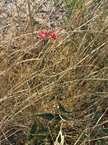
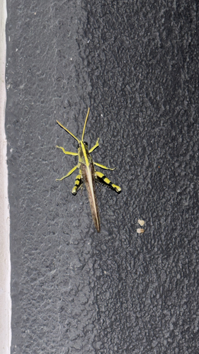
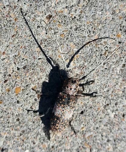
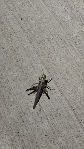
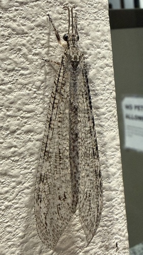
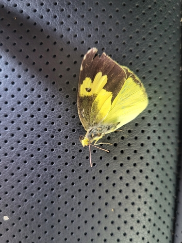
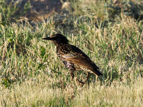
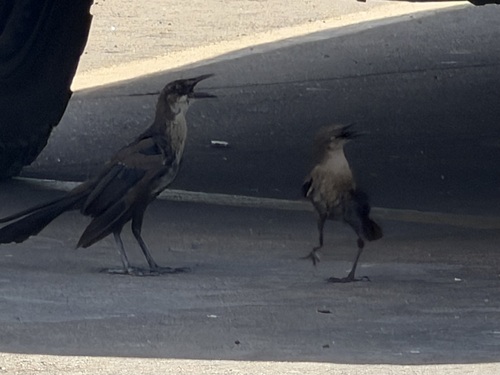
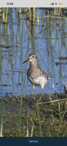
Research-grade observations from iNaturalist (within ~15 mi).
Nearest stream gauge
Live readings from USGS NWIS · measured 2026-09-25 18:00 UTC.
Events
Gallery
Sources
- • Wikipedia
- • Wikidata
- • USGS NWIS (water data)
- • iNaturalist
- • Open-Meteo / sunrise-sunset.org
- • Wikipedia Pageviews API
- • Open Library
- • NASA EONET