Browse / United States / Texas / Fort Worth
Fort Worth
Texascity

Fort Worth
Total population
1,014,376
Median home value
$330,500
Bachelor's+
Median income
$82,503
Founded
1849
Air quality index
Demographic figures from US Census Bureau · ACS 5-year estimates. Overview below cites Wikipedia and may reference a different year.
- Air Quality Alert · UnknownAir Quality Alert issued September 16 at 3:01PM CDT by NWS Fort Worth TX
Source: NOAA National Weather Service.
City facts
Sister cities
Facts from Wikidata (CC0).
Overview
Fort Worth is a city in the U.S. state of Texas. It is the county seat of Tarrant County, covering nearly 350 square miles (910 km2) and extending into Denton, Johnson, Parker, and Wise counties. Fort Worth's population was estimated to be 1,028,117 in 2025, making it the 10th-most populous city in the United States. Fort Worth is the second-largest city in the Dallas–Fort Worth metroplex and the fourth-most populous in Texas. The Dallas–Fort Worth metroplex is the fourth-most populous metropolitan area in the U.S., with 8.5 million residents.
Read more on WikipediaHistory & geography
History
The Treaty of Bird's Fort between the Republic of Texas and several Native American tribes was signed in 1843 at Bird's Fort in present-day Arlington, Texas. Article XI of the treaty provided that no one may "pass the line of trading houses" (at the border of the Indians' territory) without permission of the President of Texas, and may not reside or remain in the Indians' territory. These "trading houses" were later established at the junction of the Clear Fork and West Fork of the Trinity River in present-day Fort Worth. A line of seven army posts was established in 1848–1849 after the Mexican War to protect the settlers of Texas along the western American Frontier and included Fort Worth, Fort Graham, Fort Gates, Fort Croghan, Fort Martin Scott, Fort Lincoln, and Fort Duncan. Originally, 10 forts had been proposed by Major General William Jenkins Worth (1794–1849), who commanded the Department of Texas in 1849. In January 1849, Worth proposed a line of 10 forts to mark the western Texas frontier from Eagle Pass to the confluence of the West Fork and Clear Fork of the Trinity River. One month later, Worth died from cholera in South Texas. Since its establishment, the city of Fort Worth continues to be known as "where the West begins". The fort was flooded the first year and moved to the top of the bluff; the current courthouse was built on this site. The fort was abandoned September 17, 1853. During the American Civil War, Fort Worth suffered from shortages of money, food, and supplies. The population dropped as low as 175, but began to recover during Reconstruction. By 1872, Jacob Samuels, William Jesse Boaz, and William Henry Davis had opened general stores. The next year, Khleber M. Van Zandt established Tidball, Van Zandt, and Company, which became Fort Worth…
Geography
Fort Worth is located in North Texas, and has a generally humid subtropical climate. It is part of the Cross Timbers region; this region is a boundary between the more heavily forested eastern parts and the rolling hills and prairies of the central part. Specifically, the city is part of the Grand Prairie ecoregion within the Cross Timbers. According to the United States Census Bureau, the city has a total area of , of which are land and are covered by water. It is a principal city in the Dallas–Fort Worth metroplex, and the second largest by population. The city of Fort Worth is not entirely contiguous and has several enclaves, practical enclaves, semi-enclaves, and cities that are otherwise completely or nearly surrounded by it, including: Westworth Village, River Oaks, Saginaw, Blue Mound, Benbrook, Everman, Forest Hill, Edgecliff Village, Westover Hills, White Settlement, Sansom Park, Lake Worth, Lakeside, and Haslet. Fort Worth contains over 1,000 natural-gas wells (December 2009 count) tapping the Barnett Shale. Each well site is a bare patch of gravel in size. As city ordinances permit them in all zoning categories, including residential, well sites can be found in a variety of locations. Some wells are surrounded by masonry fences, but most are secured by chain link. A large storage dam was completed in 1914 on the West Fork of the Trinity River, 7 miles (11 km) from the city, with a storage capacity of 33,495 acre feet of water. The lake formed by this dam is known as Lake Worth. Downtown Fort Worth consists of numerous districts consisting of commercial and retail, residential, and entertainment. Among them, Sundance Square is a mixed-use district and popular for nightlife and entertainment. The Bass Performance Hall is located within Sundance…
Excerpted from the corresponding Wikipedia article (CC BY-SA).
Demographics & economy
Race & ethnicity
Source: US Census Bureau — American Community Survey, 5-year estimates.
Geography
Coordinates & boundaries from the US Census TIGER/Line shapefiles.
Climate
10-year averages from ERA5 reanalysis (Open-Meteo).
Current forecast
Forecast for Fort Worth, TX from NOAA NWS API.
Air quality
Current readings from Open-Meteo Air Quality API (Copernicus CAMS European reanalysis).
Industrial & pollution facilities
Natural hazard risk
Health (adults)
Age-adjusted prevalence estimates from CDC PLACES (latest release).
Walkability
Amenities nearby
Wildlife & biodiversity
Most-observed species
- Northern CardinalCardinalis cardinalis (Linnaeus, 1758) · Aves20,166
- Blue JayCyanocitta cristata (Linnaeus, 1758) · Aves15,564
- American CrowCorvus brachyrhynchos C.L.Brehm, 1822 · Aves15,102
- Carolina ChickadeePoecile carolinensis (Audubon, 1834) · Aves13,934
- Red-bellied WoodpeckerMelanerpes carolinus (Linnaeus, 1758) · Aves12,811
- Carolina WrenThryothorus ludovicianus (Latham, 1790) · Aves11,886
- White-winged DoveZenaida asiatica (Linnaeus, 1758) · Aves11,737
- Northern MockingbirdMimus polyglottos (Linnaeus, 1758) · Aves10,672
Citizen-science & research observations from the Global Biodiversity Information Facility (GBIF).
Schools
Largest nearby schools
- HALTOM H SHigh · HALTOM CITY · 2,785 students · 16.4:1 ratio
- CENTRAL H SHigh · KELLER · 2,551 students · 15.3:1 ratio
- BOSWELL H SHigh · FORT WORTH · 2,547 students · 17.6:1 ratio
- CHISHOLM TRAIL H SHigh · FORT WORTH · 2,493 students · 16.3:1 ratio
- FOSSIL RIDGE H SHigh · KELLER · 2,329 students · 14.7:1 ratio
- SAGINAW H SHigh · SAGINAW · 2,194 students · 15.3:1 ratio
- BREWER H SHigh · FORT WORTH · 2,183 students · 15.9:1 ratio
- PASCHAL H SHigh · FORT WORTH · 2,141 students · 16.3:1 ratio
Public K–12 schools within ~10 mi from Urban Institute Education Data Portal (NCES Common Core of Data, 2022).
Earthquake history
Most recent
- M 3.1 — 2024-05-017 km SSW of Mansfield, Texas
- M 3.2 — 2024-05-017 km S of Mansfield, Texas
- M 3.2 — 2019-10-018 km SSW of Mansfield, Texas
- M 2.5 — 2019-07-084 km SSE of Rendon, Texas
- M 2.7 — 2018-12-217 km W of Chico, Texas
- M 3.4 — 2018-05-198 km NW of Venus, Texas
Events from the USGS Earthquake Catalog (global) (FDSN Event Web Service).
Photos
Sights & places nearby
Notable people from here


People born within ~10 km, from Wikidata (CC0). Click any name for their Wikipedia article.
Nearby places in Texas
- Lake Worth5.2 mi away
- Haslet12.8 mi away · pop. 3,280
- Crowley14.1 mi away · pop. 19,532
- Annetta South17.3 mi away · pop. 763
- Annetta19.5 mi away · pop. 3,264
- Briaroaks20 mi away · pop. 614
- Justin20.8 mi away · pop. 5,447
- Double Oak23.9 mi away · pop. 3,071
- Copper Canyon26.2 mi away
- Keene26.7 mi away
- Coyote Flats29.6 mi away
- Lake Dallas30.5 mi away
Geography & sun
Elevation, sunrise/sunset and daylight from Open-Meteo. Solar climatology from NASA POWER.
Nearby airports
Public attention
Pageview totals from the Wikimedia Pageviews API.
Books about Fort Worth

Search results from Open Library.
Recent natural events nearby
- Wildfire Ross, Palo Pinto, TexasWildfires · 2026-08-24 · 58 mi
- Wildfire Hydra, Bosque, TexasWildfires · 2026-09-14 · 67 mi
- Wildfire Bufford Creek, Stephens, TexasWildfires · 2026-08-10 · 86 mi
- Wildfire Lobo, Eastland, TexasWildfires · 2026-09-15 · 95 mi
- Wildfire Rio Escondido, Hamilton, TexasWildfires · 2026-08-24 · 100 mi
- Wildfire Harris, Throckmorton, TexasWildfires · 2026-08-31 · 102 mi
- Wildfire PINTO, Stephens, OklahomaWildfires · 2026-09-08 · 114 mi
- Wildfire Atoka Lake, Atoka, OklahomaWildfires · 2026-09-14 · 133 mi
Wildfires, storms and other events from NASA EONET (last 12 months, within 250 mi).
Ground air-quality sensors
Recently spotted species
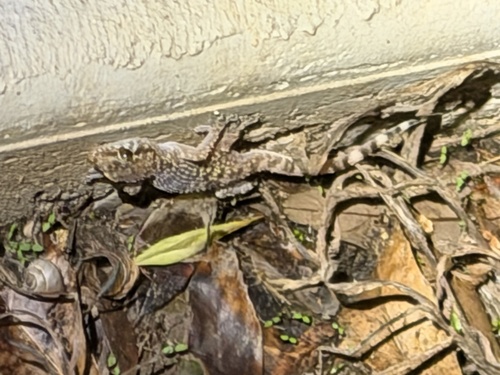
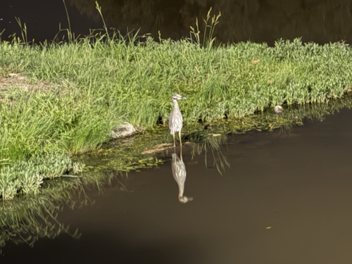
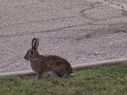
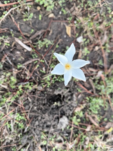
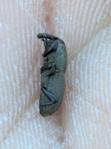
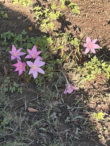
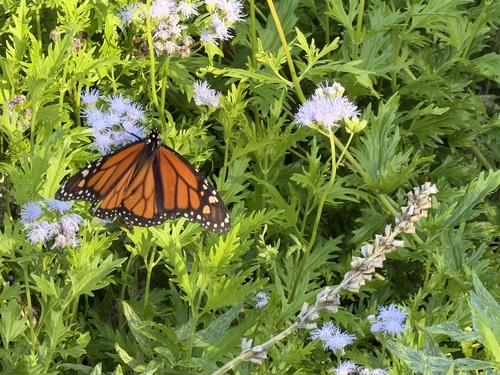
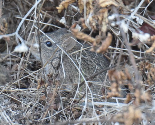
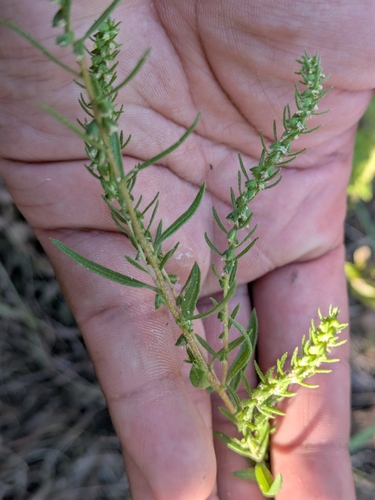
Research-grade observations from iNaturalist (within ~15 mi).
Nearest stream gauge
Events
Notable, recurring, and historical events associated with Fort Worth, sourced from Wikidata.
- Jan 1, 1989
Source: Wikidata (CC0).
Gallery
Sources
- • Wikipedia
- • US Census Bureau (ACS 5-year estimates)
- • Open-Meteo (ERA5 reanalysis)
- • NOAA National Weather Service
- • Wikidata
- • Open-Meteo Air Quality (CAMS)
- • USGS Earthquake Catalog (global feed)
- • NCES via Urban Institute Education Data Portal
- • GBIF (Global Biodiversity Information Facility)
- • iNaturalist
- • CDC PLACES
- • Open-Elevation
- • Open-Meteo / sunrise-sunset.org
- • Wikipedia Pageviews API
- • Open Library
- • NASA EONET