Browse / United States / Texas / Goliad
Goliad
Texascity

Goliad
Total population
1,651
Median home value
$184,200
Bachelor's+
Median income
$42,266
Founded
1749
Demographic figures from US Census Bureau · ACS 5-year estimates. Overview below cites Wikipedia and may reference a different year.
City facts
Facts from Wikidata (CC0).
Overview
Goliad is a city and the county seat of Goliad County, Texas, United States. It is known for the 1836 Goliad massacre during the Texas Revolution. It had a population of 1,620 at the 2020 census. It is part of the Victoria, Texas, metropolitan statistical area.
Read more on WikipediaHistory & geography
History
In 1747, the Spanish government sent José de Escandón to inspect the northern frontier of its North American colonies, including Spanish Texas. In his final report, Escandón recommended the Presidio La Bahía be moved from its Guadalupe River location to the banks of the San Antonio River, so it could better assist settlements along the Rio Grande. Both the presidio and the mission that it protected, Mission Nuestra Señora del Espíritu Santo de Zúñiga, moved to their new location sometime around October 1749. Escandón proposed that 25 families from New Spain be relocated near the presidio to form a civilian settlement, but he could not find enough willing settlers. With the conclusion of the Seven Years' War in 1763, France ceded Louisiana and its Texas claims to Spain. With France no longer a threat to the crown's North American interests, the Spanish monarchy commissioned the Marquis de Rubi to inspect all of the presidios on the northern frontier of New Spain and make recommendations for the future. Rubi recommended that several presidios be closed and that La Bahia be kept and rebuilt in stone. La Bahia was soon "the only Spanish fortress for the entire Gulf Coast from the mouth of the Rio Grande to the Mississippi River". The presidio was at the crossroads of several major trade and military routes. It quickly became one of Texas's three most important areas, along with Béxar and Nacogdoches. In early August 1812 during the Mexican War of Independence, Mexican revolutionary Bernardo Gutiérrez de Lara and his recruits, called the Republican Army of the North, invaded Texas. In November, the invaders captured Presidio La Bahia. Texas Governor Manuel María de Salcedo laid siege to the fort for the next four months. Unable to win a decisive victory, Salcedo lifted…
Geography
Goliad is located near the center of Goliad County at (28.669, –97.392). U.S. Route 59 passes through the center of town as Pearl Street, leading northeast to Victoria and southwest to Beeville. U.S. Route 183 (Jefferson Street) crosses US 59 northeast of the original center of town; US 183 leads north to Cuero and south to Refugio. Goliad is southeast of San Antonio and north of Corpus Christi. According to the United States Census Bureau, the city has a total area of , of which , or 0.28%, is covered by water. The San Antonio River flows from west to east along the southern border of the city; it is a tributary of the Guadalupe River, joining it just before their mouth at San Antonio Bay.
Excerpted from the corresponding Wikipedia article (CC BY-SA).
Demographics & economy
Race & ethnicity
Source: US Census Bureau — American Community Survey, 5-year estimates.
Geography
Coordinates & boundaries from the US Census TIGER/Line shapefiles.
Climate
Current forecast
Forecast for Goliad, TX from NOAA NWS API.
Air quality
Industrial & pollution facilities
Natural hazard risk
Health (adults)
Walkability
Amenities nearby
Wildlife & biodiversity
Schools
Earthquake history
Photos
Sights & places nearby
Notable people from here
Nearby places in Texas
- Beeville28.4 mi away · pop. 13,412
- Bloomington29.8 mi away · pop. 1,895
- Cuero30.5 mi away · pop. 8,165
- Holiday Beach41.9 mi away
- Del Sol46.1 mi away
- Edgewater Estates49 mi away
- George West50 mi away
- Alamo Beach50.7 mi away
- Aransas Pass55.1 mi away
- Ingleside56.4 mi away
- K-Bar Ranch57 mi away
- Ingleside on the Bay59.1 mi away
Geography & sun
Elevation, sunrise/sunset and daylight from Open-Meteo. Solar climatology from NASA POWER.
Nearby airports
Public attention
Pageview totals from the Wikimedia Pageviews API.
Books about Goliad



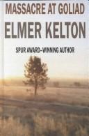

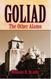
Search results from Open Library.
Recent natural events nearby
- Wildfire Dos Pistolas, Brooks, TexasWildfires · 2026-08-11 · 123 mi
- Wildfire Breezy, Starr, TexasWildfires · 2026-09-16 · 173 mi
- Wildfire Kurk, San Saba, TexasWildfires · 2026-09-08 · 182 mi
- Wildfire Clark, Edwards, TexasWildfires · 2026-09-16 · 198 mi
- Wildfire Rio Escondido, Hamilton, TexasWildfires · 2026-08-24 · 200 mi
- Wildfire West Fork, Sutton, TexasWildfires · 2026-08-28 · 203 mi
- Wildfire McKee Draw, Edwards, TexasWildfires · 2026-08-29 · 205 mi
- Wildfire Star Lake, Jefferson, TexasWildfires · 2026-09-11 · 207 mi
Wildfires, storms and other events from NASA EONET (last 12 months, within 250 mi).
Ground air-quality sensors
Recently spotted species
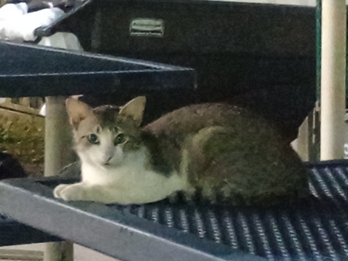
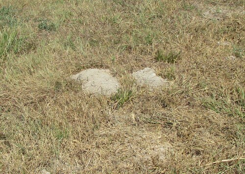
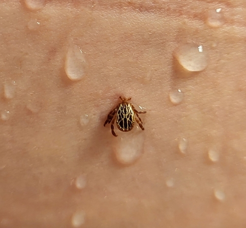
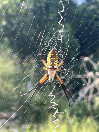
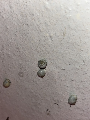
Research-grade observations from iNaturalist (within ~15 mi).
Nearest stream gauge
Live readings from USGS NWIS · measured 2026-09-22 03:00 UTC.
Events
Gallery
Sources
- • Wikipedia
- • US Census Bureau (ACS 5-year estimates)
- • NOAA National Weather Service
- • Wikidata
- • USGS NWIS (water data)
- • iNaturalist
- • Open-Meteo / sunrise-sunset.org
- • Wikipedia Pageviews API
- • Open Library
- • NASA EONET