Browse / United States / Texas / Grand Saline
Grand Saline
Texascity

Grand Saline
Total population
3,203
Median home value
$119,600
Bachelor's+
Median income
$50,028
Demographic figures from US Census Bureau · ACS 5-year estimates. Overview below cites Wikipedia and may reference a different year.
City facts
Facts from Wikidata (CC0).
Overview
Grand Saline is a city in Van Zandt County, Texas, United States, located in East Texas. The population was 3,107 as of 2020, making Grand Saline the third-largest city in Van Zandt County. The city is located roughly 75 miles (120 km) east of Dallas and 35 miles (56 km) northwest of Tyler, the two nearest metropolitan areas, and is part of the greater Tyler/Longview area.
Read more on WikipediaHistory & geography
History
Grand Saline's first settlers were the ancient Caddo and Cherokee Indian tribes, who discovered and made use of a large salt prairie south of the town. The Native Americans used evaporated salt, from the brine stream that flows over the flats, as a commodity they traded for other needed goods. In the mid-nineteenth century, the tribes moved southeast, having been forced out of the area by Mirabeau B. Lamar, second president of the Republic of Texas, and by general anti-Indian sentiment. Only a few years after the Indians left the salt prairie behind, a new group of settlers arrived. A settler named John Jordan and other newcomers brought their families and set up a primitive salt works. The community named Jordan's Saline quickly became the center of Van Zandt County and was, for a while, the county seat. The salt produced here was used in the process of tanning leather and preserving food stuffs. Following the American Civil War the Texas and Pacific Railroad was extended from Marshall to Dallas. A parcel of land was donated to the railroad; a depot was built and the stop was named Grand Saline. The City of Grand Saline was incorporated in 1895 and the community of Jordan's Saline faded into history as its residents moved north to the bustling new city. There were formerly numerous salt companies in Grand Saline, including the Richardson Salt works, which had drilled the first salt well; the Lone Star Salt Company; Kleer Salt Works, the first steam-powered salt plant; and the Grand Saline Salt Company, which later became part of the Morton Salt Company. During the late 1920s, the discovery of the nearby Van oil field brought companies that provided needed supplies. In the 1930s Grand Saline had twelve petroleum supply companies and five lumber companies. In the…
Geography
Grand Saline is located in the northeastern area of Van Zandt County, at the intersection of Texas State Highway 110 and U.S. Route 80 in western East Texas. According to the United States Census Bureau, the city has a total area of 2.0 square miles (5.2 km2), of which 2.0 square miles (5.2 km2) is land and 0.50% is water.
Excerpted from the corresponding Wikipedia article (CC BY-SA).
Demographics & economy
Race & ethnicity
Source: US Census Bureau — American Community Survey, 5-year estimates.
Geography
Coordinates & boundaries from the US Census TIGER/Line shapefiles.
Climate
Current forecast
Forecast for Grand Saline, TX from NOAA NWS API.
Air quality
Industrial & pollution facilities
Natural hazard risk
Health (adults)
Age-adjusted prevalence estimates from CDC PLACES (latest release).
Walkability
Amenities nearby
Wildlife & biodiversity
Schools
Earthquake history
Photos
Sights & places nearby
Notable people from here
Nearby places in Texas
Geography & sun
Elevation, sunrise/sunset and daylight from Open-Meteo. Solar climatology from NASA POWER.
Nearby airports
Public attention
Pageview totals from the Wikimedia Pageviews API.
Books about Grand Saline


Search results from Open Library.
Recent natural events nearby
- Wildfire Tram Trail, Pushmataha, OklahomaWildfires · 2026-09-14 · 113 mi
- Wildfire Atoka Lake, Atoka, OklahomaWildfires · 2026-09-14 · 122 mi
- Wildfire Buck Creek, Pushmataha, OklahomaWildfires · 2026-08-25 · 126 mi
- Wildfire Hydra, Bosque, TexasWildfires · 2026-09-14 · 127 mi
- Wildfire Alexander Trail Fire, Pushmataha, OklahomaWildfires · 2026-08-30 · 127 mi
- Wildfire Alexander Trail, Pushmataha, OklahomaWildfires · 2026-08-30 · 127 mi
- Wildfire Snake Mountain, Pushmataha, OklahomaWildfires · 2026-08-14 · 128 mi
- Wildfire Ross, Palo Pinto, TexasWildfires · 2026-08-24 · 153 mi
Wildfires, storms and other events from NASA EONET (last 12 months, within 250 mi).
Ground air-quality sensors
Recently spotted species
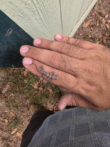
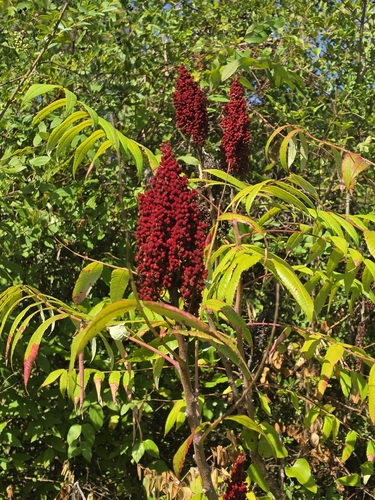
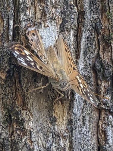
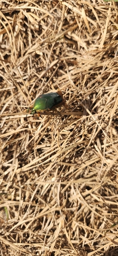
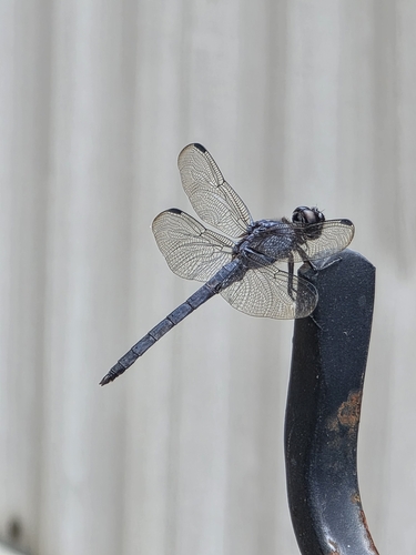
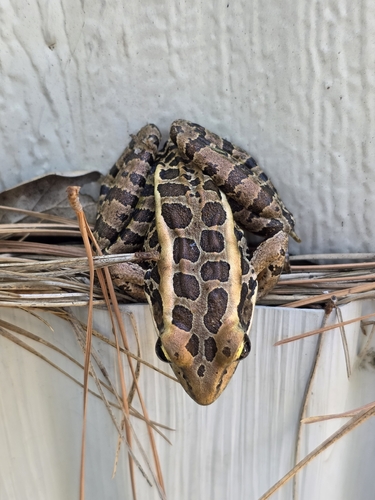
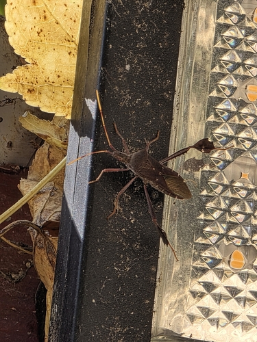
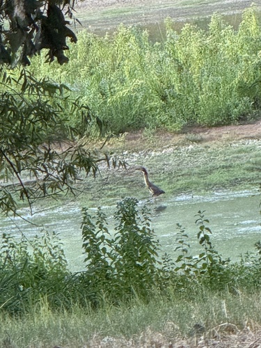
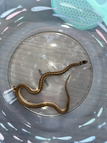
Research-grade observations from iNaturalist (within ~15 mi).
Nearest stream gauge
Events
Gallery
Sources
- • Wikipedia
- • US Census Bureau (ACS 5-year estimates)
- • NOAA National Weather Service
- • Wikidata
- • iNaturalist
- • CDC PLACES
- • Open-Meteo / sunrise-sunset.org
- • Wikipedia Pageviews API
- • Open Library
- • NASA EONET