Browse / United States / Texas / Harker Heights
Harker Heights
Texascity

Harker Heights
Total population
34,128
Median home value
$287,800
Bachelor's+
Median income
$81,190
Founded
1957
Demographic figures from US Census Bureau · ACS 5-year estimates. Overview below cites Wikipedia and may reference a different year.
City facts
Facts from Wikidata (CC0).
Overview
Harker Heights is a city in Bell County, Texas, United States. As of the 2020 census, 33,097 people resided in the city, up from a population of 17,308 in 2000. This makes Harker Heights the third-largest city in Bell County, after Killeen and Temple. Incorporated in 1960, the city derives its name from one of the two original landowners and founder, Harley Kern. Harker Heights is part of the Killeen–Temple–Fort Hood metropolitan area.
Read more on WikipediaHistory & geography
History
Harker Heights is located near Fort Hood, a major United States Army post that was designated a permanent military facility in 1950. As the post expanded, the surrounding civilian population increased. Water Control and Improvement District No. 4 was established on land near the Killeen city limits and the military post in 1955, and included the land owned by Pinckney R. Cox and Harley Kern, two hog farmers. These two men subdivided their land in 1957 and began selling lots. By 1960, between 600 and 700 of the lots had been developed and new residents supplied with water and other utility services. Following a petition for an incorporation election, the city was established on September 24, 1960, and Cox was elected mayor. Kern had died before the incorporation, and the Harker in Harker Heights was a concatenation of Harley Kern's name as a tribute to one of the original landowners. The town's boundaries expanded to include Forest Hills, Highland Oaks, and Comanche Hills. Cox, Sam Garth Jr., and Barney Sissom created GIASISCO Corporation, which was meant to help expand the town from .
Geography
Harker Heights is bordered by the city of Killeen to the west and Nolanville to the east. The city limits extend south to hills overlooking Stillhouse Hollow Lake on the Lampasas River. Interstate 14/U.S. Highway 190 is a four-lane freeway that passes through the city, connecting Killeen to the west with Interstate 35 in Belton to the east, at a point about halfway between Waco and Austin. According to the United States Census Bureau, Harker Heights has a total area of , of which , or 0.32%, is covered by water.
Excerpted from the corresponding Wikipedia article (CC BY-SA).
Demographics & economy
Race & ethnicity
Source: US Census Bureau — American Community Survey, 5-year estimates.
Geography
Coordinates & boundaries from the US Census TIGER/Line shapefiles.
Climate
Current forecast
Forecast for Harker Heights, TX from NOAA NWS API.
Air quality
Industrial & pollution facilities
Natural hazard risk
Health (adults)
Age-adjusted prevalence estimates from CDC PLACES (latest release).
Walkability
Amenities nearby
Wildlife & biodiversity
Schools
Earthquake history
Photos
Sights & places nearby
Notable people from here
Nearby places in Texas
Geography & sun
Elevation, sunrise/sunset and daylight from Open-Meteo. Solar climatology from NASA POWER.
Nearby airports
Public attention
Pageview totals from the Wikimedia Pageviews API.
Books about Harker Heights

Search results from Open Library.
Recent natural events nearby
- Wildfire Rio Escondido, Hamilton, TexasWildfires · 2026-08-24 · 41 mi
- Wildfire Hydra, Bosque, TexasWildfires · 2026-09-14 · 55 mi
- Wildfire Kurk, San Saba, TexasWildfires · 2026-09-08 · 60 mi
- Wildfire Lobo, Eastland, TexasWildfires · 2026-09-15 · 121 mi
- Wildfire Ross, Palo Pinto, TexasWildfires · 2026-08-24 · 125 mi
- Wildfire Bufford Creek, Stephens, TexasWildfires · 2026-08-10 · 139 mi
- Wildfire West Fork, Sutton, TexasWildfires · 2026-08-28 · 156 mi
- Wildfire Harris, Throckmorton, TexasWildfires · 2026-08-31 · 162 mi
Wildfires, storms and other events from NASA EONET (last 12 months, within 250 mi).
Ground air-quality sensors
Recently spotted species

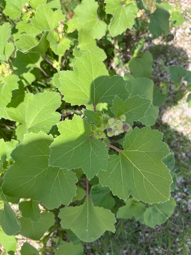
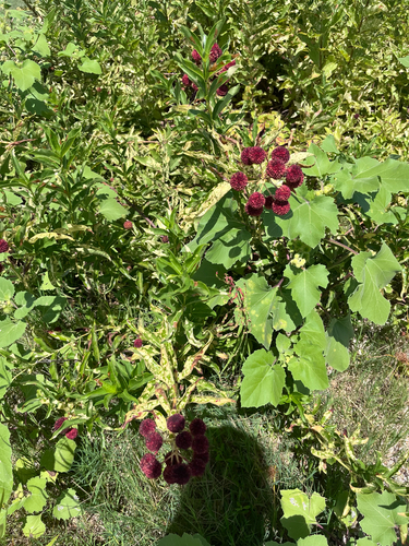
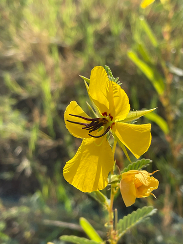
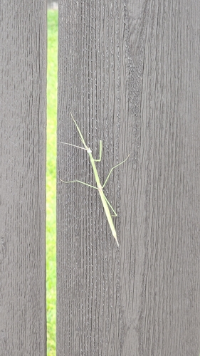
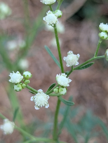
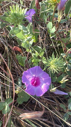
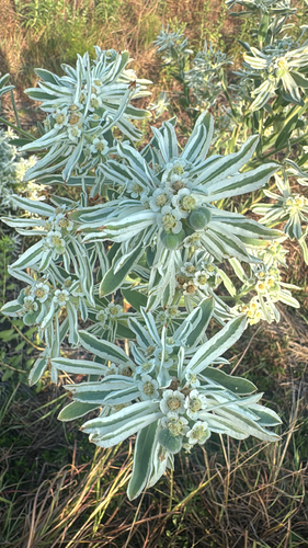
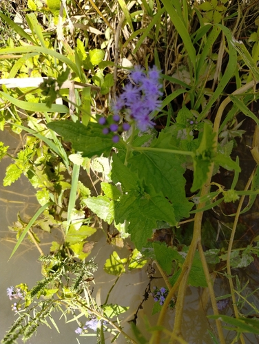
Research-grade observations from iNaturalist (within ~15 mi).
Nearest stream gauge
Live readings from USGS NWIS · measured 2026-08-05 21:20 UTC.
Events
Gallery
Sources
- • Wikipedia
- • US Census Bureau (ACS 5-year estimates)
- • NOAA National Weather Service
- • Wikidata
- • USGS NWIS (water data)
- • iNaturalist
- • CDC PLACES
- • Open-Meteo / sunrise-sunset.org
- • Wikipedia Pageviews API
- • Open Library
- • NASA EONET